Towns & cities · South Wales
Ystradfellte
Ystradfellte — village and community in Powys, Wales, UK.

Wikimedia Commons contributors — see linked file page for photographer and licence licence
Plan your visit
- Typical visit
- 3 h–6 h
- Free entry
- Family-friendly
- Dog-friendly
About
Ystradfellte is a town, city, village or settlement in the United Kingdom. It covers approximately 8,278 km². Recent population estimates put it at around 549 people. Address: CF44. Wikidata describes it as: "village and community in Powys, Wales, UK". Coordinates: 51.8089°, -3.5549°.
Photo gallery
From the Wikipedia article
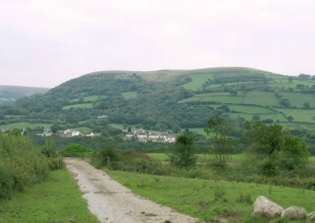
Ystradfellte (Welsh pronunciation: [ˌəstradˈvɛɬtɛ] ) is a village and community in Powys, Wales, about 6 miles (10 km) north of Hirwaun, with 556 inhabitants. It belongs to the historic county of Brecknockshire (Breconshire) and the Fforest Fawr area of the Brecon Beacons National Park, beside the Afon Mellte river. The village is linked by minor roads with Heol Senni to the north and the A4059 north of Penderyn, and with Pontneddfechan, which lies in the community, at the head of the Vale of Neath to the south. It comes under Aberdare for postal purposes.
Excerpt from Wikipedia under CC BY-SA 4.0. See the source article linked in Sources below.
Background
History
Ystradfellte is chiefly known in history as the place where the Welsh nobleman and rebel leader Llywelyn Bren surrendered at the end of his revolt of 1316. Llywelyn gave himself up on the condition that his men be spared, but was himself put to death in 1318 at Cardiff. The village was connected to mains electricity in 1960, as one of the last communities in the whole of England and Wales to be wired. Outlying properties in the Nedd Fechan valley had to wait until December 2005 for their connection.
Description
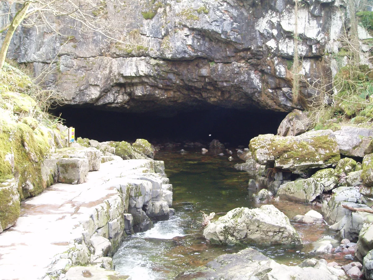
The village is a popular tourist centre for its hillwalking, waterfalls and caves along the nearby rivers. The surrounding area is renowned for its caves and karst scenery, making caving a popular activity. Some of the more famous caves near the village include: The area is seen as part of Waterfall Country. A popular attraction near the village is the Waterfalls Walk, an easier walk along the Afon Mellte past two main falls on the river, Sgwd Clun-gwyn and Sgwd Isaf Clun-gwyn, to Sgwd yr Eira on the Afon Hepste, where the footpath passes behind the waterfall. <gallery> Image:Sgwd_Clun-gwyn,_Afon_Mellte.jpg|Sgwd Clun-gwyn, Afon Mellte Image:Sgwd Isaf Clun-gwyn, Afon Mellte.jpg|Sgwd Isaf…
Sourced from Wikipedia under CC BY-SA 4.0.
- Coordinates
- 51.8089, -3.5549
- District
- Powys
- Parish
- Ystradfellte
- Postcode
- CF44
- Parliamentary constituency
- Brecon, Radnor and Cwm Tawe
- Population
- 549
Sources
- wikidata: Q1009284 (CC0)
- wikipedia: Ystradfellte (CC BY-SA 4.0)
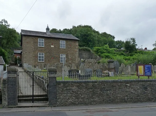
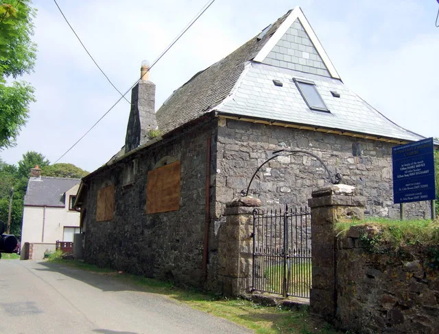
- commons: St Mary's Church, Ystradfellte - geograph.org.uk - 1343237.jpg (CC BY-SA 4.0)
Other places nearby
Loading nearby places…
Nearby
Campsites · South Wales
The New Inn
The New Inn — a campsite in wales south.
 📷 3
📷 3Caves · South Wales
Tradesman's Entrance (C)
Tradesman's Entrance (C) is a cave in the United Kingdom.
 📷 3
📷 3Mountains & hills · South Wales
Porth yr Ogof
Porth yr Ogof — river cave in Ystradfellte, Powys, Wales, United Kingdom.
 📷 3
📷 3Caves · South Wales
Porth yr Ogof
Porth yr Ogof is a cave in the United Kingdom.
 📷 3
📷 3Caves · South Wales
Porth yr Ogof Resurgence (N)
Porth yr Ogof Resurgence (N) is a cave in the United Kingdom.
 📷 3
📷 3Caves · South Wales
Ogof Ffynnon
Ogof Ffynnon — a cave broad in wales-south, United Kingdom.
More towns in this region
 📷 4
📷 4Towns & cities · South Wales
Argoed
Argoed — village and community in Caerphilly County Borough, Wales.
 Flagship📷 3
Towns & cities · South Wales
Betws
Betws — village and community in Carmarthenshire, Wales.
 Flagship📷 5
Towns & cities · South Wales
Caerleon
Caerleon — village and community in Newport, Wales, UK.
 Flagship📷 3
Towns & cities · South Wales
Camrose
Camrose — village and community in Pembrokeshire, Wales, UK.
Frequently asked questions
- Where is Ystradfellte?
- Ystradfellte is in South Wales, United Kingdom (postcode CF44), in the parish of Ystradfellte.
- Is Ystradfellte free to visit?
- Yes, Ystradfellte is free to enter.
- How do I get to Ystradfellte?
- Drivers can navigate to postcode CF44. It sits within the Brecon, Radnor and Cwm Tawe parliamentary constituency.