Towns & cities · South Wales
Betws
Betws — village and community in Carmarthenshire, Wales.

Wikimedia Commons contributors — see linked file page for photographer and licence licence
Plan your visit
- Typical visit
- 3 h–6 h
- Nearest railway station
- Ammanford · 1.4 km
- Free entry
- Family-friendly
- Dog-friendly
About
Betws is a town, city, village or settlement in the United Kingdom. It covers approximately 1,116 km². Recent population estimates put it at around 1,834 people. Wikidata describes it as: "village and community in Carmarthenshire, Wales". Coordinates: 51.7870°, -3.9820°.
Photo gallery
From the Wikipedia article
Betws (; Welsh: Y Betws) is a small village and community on the River Amman in Carmarthenshire, Wales, some 15 miles north of Swansea; it is part of the ecclesiastical parish of Betws and Ammanford, and the urban area of Ammanford. The nearby mountain, at the western end of the Black Mountain, is named after the village, and has a large area of common land.
Excerpt from Wikipedia under CC BY-SA 4.0. See the source article linked in Sources below.
Background
History
The name 'Betws' is generally thought to be derived from the Anglo-Saxon 'bed-hus' - a house of prayer, or oratory, and means "chapel" in the Welsh language. Until the 19th century, when Ammanford developed extensively, Betws was the largest village in the area. , showing Betws (later detached), Kilvey (later added), and the Town and Franchise of Swansea. The language boundary - with English to the south - is shown as a dotted line.]] Until the 13th century, Betws was part of Gower, which is now known as the county of Swansea but the old commote border of the rivers Amman and Loughor moved south and Betws has since the Acts of Union been part of Welsh-speaking Carmarthenshire. Until 1817,…
Sourced from Wikipedia under CC BY-SA 4.0.
- Coordinates
- 51.7870, -3.9820
- District
- Carmarthenshire
- Parish
- Betws
- Postcode
- SA18 2HN
- Parliamentary constituency
- Caerfyrddin
- Population
- 1,834
- Nearest railway station
- Ammanford — 1.4 km
- Official site
- www.ukcensusdata.com
Sources
- wikidata: Q850566 (CC0)
- wikipedia: Betws, Carmarthenshire (CC BY-SA 4.0)
- commons: Outcrop at north end of Betws Mountain - geograph.org.uk - 64603.jpg (CC BY-SA 4.0)
Other places nearby
Loading nearby places…
Nearby
 📷 5
📷 5Historic churches · South Wales
St David's Parish Church
St David's Parish Church — Grade II listed building-listed church in wales-south, United Kingdom.
 📷 3
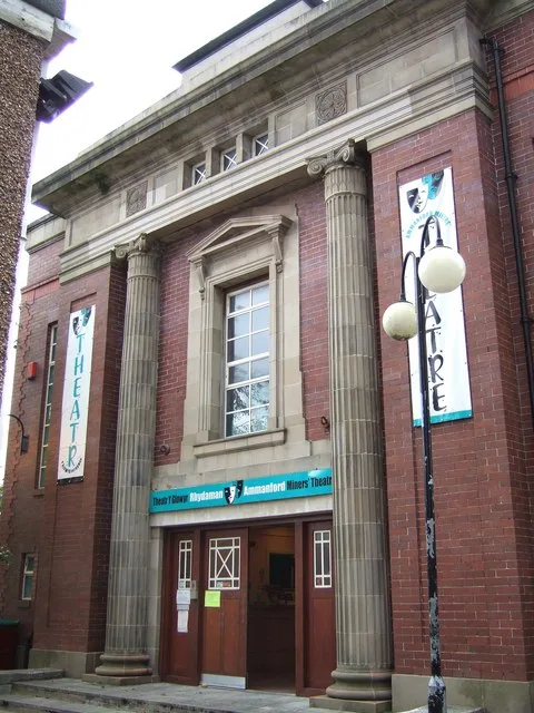
📷 3Theatres · South Wales
Ammanford Miners' Theatre
Ammanford Miners' Theatre is a theatre in the United Kingdom.
 📷 3
📷 3Theatres · South Wales
Poole's Pictorium
Poole's Pictorium in Wales South, United Kingdom.
 📷 5
📷 5Historic bridges · South Wales
Pontamman Bridge
Pontamman Bridge — Grade II listed building-listed bridge in wales-south, United Kingdom.
 📷 5
📷 5Historic churches · South Wales
All Saints Church, Ammanford
All Saints Church, Ammanford — Grade II listed building-listed church in wales-south, United Kingdom.
 📷 5
📷 5Natural landmarks · South Wales
Gwynfryn College
Gwynfryn College — a school heritage in wales-south, United Kingdom.
More towns in this region
 📷 4
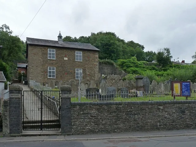
📷 4Towns & cities · South Wales
Argoed
Argoed — village and community in Caerphilly County Borough, Wales.
 Flagship📷 5
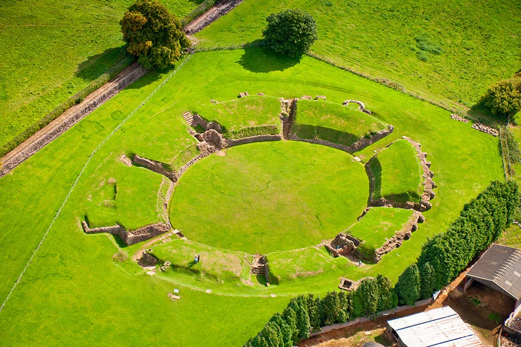
Towns & cities · South Wales
Caerleon
Caerleon — village and community in Newport, Wales, UK.
 Flagship📷 3
Towns & cities · South Wales
Camrose
Camrose — village and community in Pembrokeshire, Wales, UK.
 Flagship📷 4
Towns & cities · South Wales
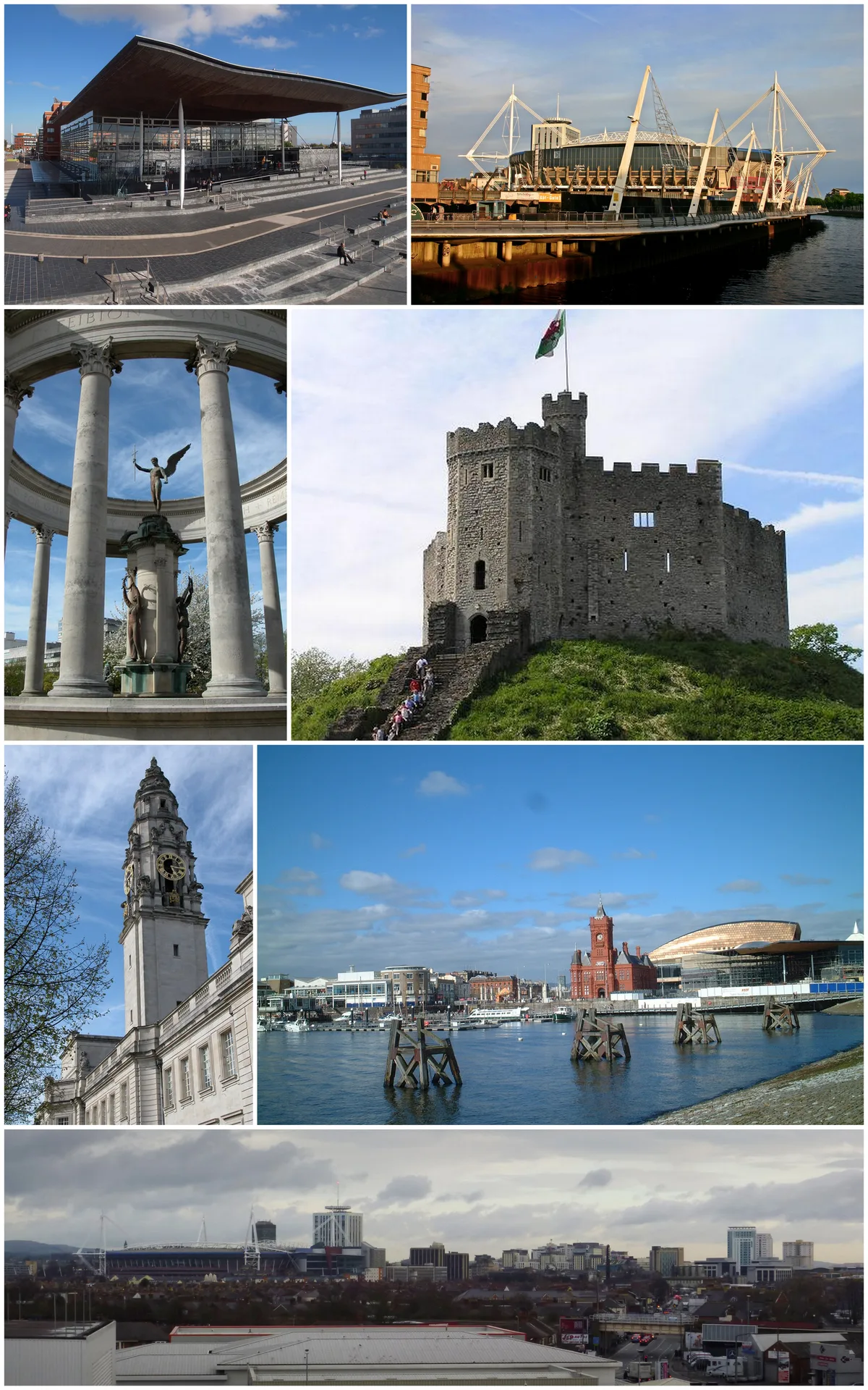
Cardiff
Cardiff — capital city of Wales, United Kingdom.
Frequently asked questions
- Where is Betws?
- Betws is in South Wales, United Kingdom (postcode SA18 2HN), in the parish of Betws.
- Is Betws free to visit?
- Yes, Betws is free to enter.
- How do I get to Betws?
- The nearest railway station is Ammanford, about 1.4 km away. Drivers can navigate to postcode SA18 2HN.