Mountains & hills · South Wales
Tair Carn Isaf
Tair Carn Isaf — Named summit at 460 m.

Wikimedia Commons contributors — see linked file page for photographer and licence licence
Plan your visit
- Typical visit
- 3 h–8 h
- Best time of year
- Late spring – early autumn (May–Oct)
- Nearest railway station
- Llandybie · 6.5 km
- Free entry
- Dog-friendly
About
Tair Carn Isaf is a named summit in the United Kingdom. Wikidata describes it as: "Named summit at 460 m.". Coordinates: 51.8341°, -3.9116°.
Photo gallery
From the Wikipedia article
Tair Carn Uchaf (Welsh for 'Upper Three Cairns') is a hill in the Brecon Beacons National Park (Welsh: Parc Cenedlaethol Bannau Brycheiniog) in the county of Carmarthenshire, Wales. Its summit sits atop a plateau-like ridge at 482 metres (1,580 ft) above sea level and is marked by one of the three huge cairns which give the mountain its name. The main ridge leads southwest towards the subsidiary top of Tair Carn Isaf ("Lower Three Cairns", 51.8344°N 3.9113°W / 51.8344; -3.9113 (Tair Carn Isaf)), which hosts further cairns. The summit of this top lies at 460 metres (1,510 ft), whilst a trig point just to its southwest lies at a height of 459 metres (1,506 ft). To the south of the main ridge lies the subsidiary peak of Drysgol which reaches a height of 393 metres (1,290 ft).
Excerpt from Wikipedia under CC BY-SA 4.0. See the source article linked in Sources below.
Background
Visiting
The hill is open country so walkers can roam across it at will. There are public footpaths along its southern margin and a long bridleway crosses the moors to the east of the hill. two minor roads cross its western flanks. The Beacons Way route from Llangadog to Abergavenny runs along the northern flanks of Tair Carn Uchaf.
Sourced from Wikipedia under CC BY-SA 4.0.
- Coordinates
- 51.8341, -3.9116
- District
- Carmarthenshire
- Parish
- Cwmamman
- Postcode
- SA18 2DZ
- Parliamentary constituency
- Caerfyrddin
- Nearest railway station
- Llandybie — 6.5 km
Sources
- osm: n1766752208 (ODbL)
- wikipedia: Tair Carn Uchaf (CC BY-SA 4.0)
- commons: Cairns on Tair Carn Uchaf - geograph.org.uk - 178860.jpg (CC BY-SA 4.0)
Other places nearby
Loading nearby places…
Nearby
Caves · South Wales
Llygad Llwchwr
Llygad Llwchwr — a cave broad in wales-south, United Kingdom.
Campsites · South Wales
Black Mountain Fishing and Camping
Black Mountain Fishing and Camping — a campsite in wales south.
 📷 3
📷 3Chapels · South Wales
Old Bethel Chapel
Old Bethel Chapel is a chapel in the United Kingdom.
 📷 3
📷 3Public art & sculpture · South Wales
Beacons Way Art Trail Stone 8
Beacons Way Art Trail Stone 8 — a public art in wales-south, United Kingdom.
 📷 4
📷 4Castles · South Wales
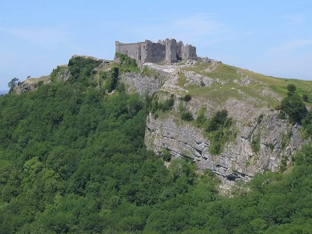
Carreg Cennen Castle
Carreg Cennen Castle — castle in Carmarthenshire, Wales, United Kingdom.
 📷 4
📷 4Mountains & hills · South Wales
Carreg Dwfn
Carreg Dwfn — a mountain in wales-south, United Kingdom, 283 m.
More mountains in this region
 Flagship📷 3
Mountains & hills · South Wales
Milford Haven Waterway
Milford Haven Waterway — ria, or flooded valley, in Pembrokeshire, south-west Wales, UK.
 📷 5
📷 5Mountains & hills · South Wales
Ogof Ffynnon Ddu
Ogof Ffynnon Ddu — cave in the Upper Swansea Valley in South Wales.
 📷 3
📷 3Mountains & hills · South Wales
Abereiddi Bay
Abereiddi Bay — bay in the United Kingdom.
 📷 3
📷 3Mountains & hills · South Wales
Allt Lwyd
Allt Lwyd — Named summit at 653 m.
Frequently asked questions
- Where is Tair Carn Isaf?
- Tair Carn Isaf is in South Wales, United Kingdom (postcode SA18 2DZ), in the parish of Cwmamman.
- Is Tair Carn Isaf free to visit?
- Yes, Tair Carn Isaf is free to enter.
- How do I get to Tair Carn Isaf?
- The nearest railway station is Llandybie, about 6.5 km away. Drivers can navigate to postcode SA18 2DZ.