Natural landmarks · South Wales
Fan Frynych
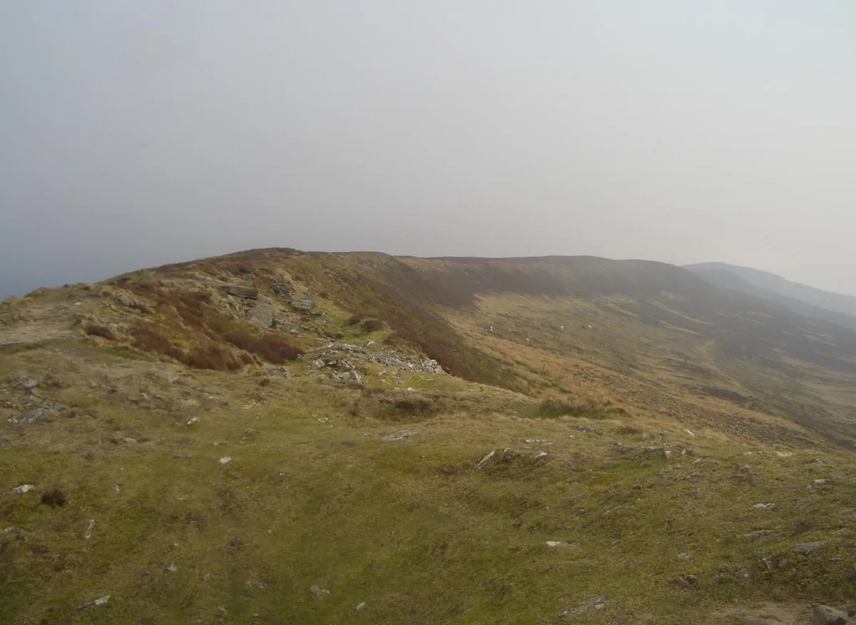
Fan Frynych — mountain (628.3m) in Powys.

Wikimedia Commons contributors — see linked file page for photographer and licence licence
Plan your visit
- Typical visit
- 1 h–2 h
- Free entry
- Dog-friendly
About
Fan Frynych is a named natural landmark in the United Kingdom. Wikidata describes it as: "mountain (628.3m) in Powys". Coordinates: 51.8939°, -3.5158°.
Photo gallery
From the Wikipedia article
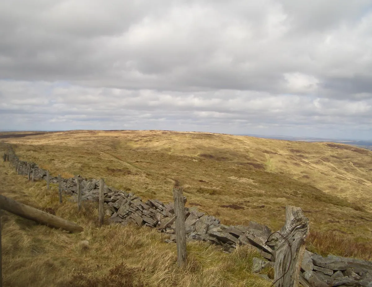
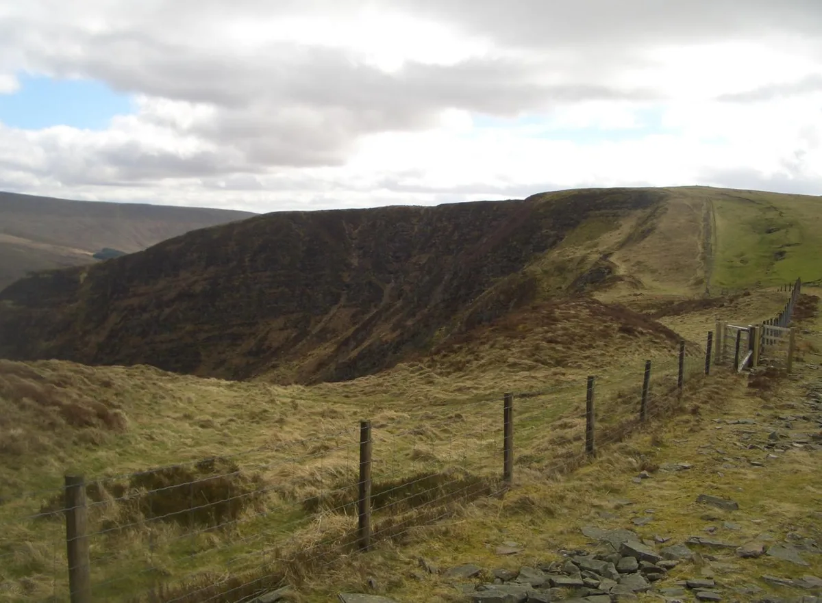
Fan Frynych is the northernmost peak of the Fforest Fawr massif in the Brecon Beacons National Park, South Wales. It is classed as a subsidiary summit of Fan Fawr and makes up half of the Craig Cerrig-gleisiad and Fan Frynych National Nature Reserve with its sister peak Craig Cerrig-gleisiad. The summit is marked by a trig point, where the northern face of Craig Cerrig-gleisiad can be viewed.
Excerpt from Wikipedia under CC BY-SA 4.0. See the source article linked in Sources below.
Background
Visiting
Being 'mountain' and/or 'moor', the entire mountain is mapped as open country and hence freely available to walkers under the access provisions of the CROW Act 2000. A network of paths and tracks cross its summit plateau and link with public rights of way to east, west and north. The 99 mile Beacons Way passes over Craig Cerrig-gleisiad immediately to its south, affording views over Fan Frynych's southern slopes and connecting with a path running the length of the east side of the plateau.
Sourced from Wikipedia under CC BY-SA 4.0.
- Coordinates
- 51.8939, -3.5158
- District
- Powys
- Parish
- Glyn Tarell
- Postcode
- LD3 8NP
- Parliamentary constituency
- Brecon, Radnor and Cwm Tawe
Sources
- wikidata: Q3403904 (CC0)
- wikipedia: Fan Frynych (CC BY-SA 4.0)
- commons: Fanfrynych.JPG (CC BY-SA 4.0)
Other places nearby
Loading nearby places…
Nearby
 📷 3
📷 3Mountains & hills · South Wales
Fan Frynych
Fan Frynych — Named summit at 629 m.
 📷 3
📷 3Forests & woodlands · South Wales
Craig Cerrig Gleisiad a Fan Frynych National Nature Reserve
Craig Cerrig Gleisiad a Fan Frynych National Nature Reserve is a forest or woodland in the United Kingdom.
Vineyards · South Wales
Craig Cerrig-Gleisiad Deserted Rural Settlement
Craig Cerrig-Gleisiad Deserted Rural Settlement — a UK vineyard in wales south, producing English or Welsh wine from cool-climate grape varieties.
 📷 3
📷 3Mountains & hills · South Wales
Craig Cerrig-gleisiad
Craig Cerrig-gleisiad — Named summit at 629 m.
 📷 3
📷 3Natural landmarks · South Wales
Craig Cerrig-gleisiad
Craig Cerrig-gleisiad — mountain (629m) in Powys.
Hostels · South Wales
YHA Llwyn-y-celyn (YHA Brecon Beacons)
YHA Llwyn-y-celyn (YHA Brecon Beacons) — a hostel in wales south.
More natural landmarks in this region
 📷 3
📷 3Natural landmarks · South Wales
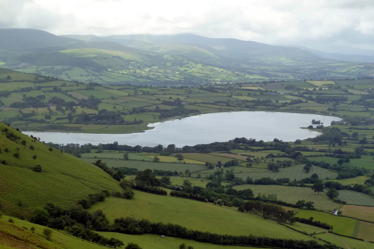
Llangorse Lake
Llangorse Lake — lake near Brecon, Powys, Wales, UK.
 📷 3
📷 3Natural landmarks · South Wales
Cefn yr Ystrad
Cefn yr Ystrad — mountain (619m) in Powys.
 📷 3
📷 3Natural landmarks · South Wales
Chwarel y Fan
Chwarel y Fan — mountain (679m) in Monmouthshire.
.jpg?width=1200) 📷 3
📷 3Natural landmarks · South Wales
Copper Flame
Copper Flame — Public artwork (installation) by Robin Campbell (designer), Martin Williams (sculptor), Andrew Rowe, Theo Grunewald (metal workers).
Frequently asked questions
- Where is Fan Frynych?
- Fan Frynych is in South Wales, United Kingdom (postcode LD3 8NP), in the parish of Glyn Tarell.
- Is Fan Frynych free to visit?
- Yes, Fan Frynych is free to enter.
- How do I get to Fan Frynych?
- Drivers can navigate to postcode LD3 8NP. It sits within the Brecon, Radnor and Cwm Tawe parliamentary constituency.