Hill forts · South Wales
Tinkinswood
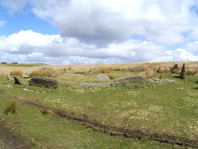
Tinkinswood — neolithic dolmen in Wales.

Wikimedia Commons contributors — see linked file page for photographer and licence licence
Plan your visit
- Typical visit
- 1 h–2 h
- Nearest railway station
- Cadoxton · 5.9 km
- Free entry
- Family-friendly
- Dog-friendly
- Limited wheelchair access
About
Tinkinswood is a hill fort in the United Kingdom. Heritage designation: scheduled monument. Owned by Cadw. Managed by Cadw. Wikidata describes it as: "neolithic dolmen in Wales". Coordinates: 51.4513°, -3.3071°.
Photo gallery
From the Wikipedia article
Tinkinswood or its full name Tinkinswood Burial Chamber (Welsh: Siambr Gladdu Tinkinswood), also known as Castell Carreg, Llech-y-Filiast and Maes-y-Filiast, is a megalithic burial chamber, built around 4000 BC, during the Neolithic period, in the Vale of Glamorgan, near Cardiff, Wales. The structure is a dolmen, which was the most common megalithic structure in Europe. The dolmen is of the Severn-Cotswold tomb type, and consists of a large capstone on top, with smaller upright stones supporting it. The limestone capstone at Tinkinswood weighs approximately 40 long tons and measures 24 feet (7.3 m) x 14 ft (4.3 m); it is thought to be the largest in Britain, and also in Europe. It would have taken some 200 people to lift the stone into the correct position. It was originally all covered by a mound of soil, which has been removed over time. The remaining mound behind the structure measures approximately 130 ft (40 m) x 59 ft (18 m) in size.
Excerpt from Wikipedia under CC BY-SA 4.0. See the source article linked in Sources below.
Background
History
| header_align = center | image2 = Tinkinswood burial chamber (geograph 2426675).jpg| | image1 = Interior of Tinkinswood burial chamber (geograph 2426697).jpg | image3 = Tinkinswood burial chamber (4788).jpg | caption1 = | caption2 = }} Tinkinswood was once a village but now all that remains is the burial chamber, which was built around 4000 BC, about 1,000 years or so before Stonehenge was constructed. The site was excavated in 1914,
Sourced from Wikipedia under CC BY-SA 4.0.
- Coordinates
- 51.4513, -3.3071
- District
- Vale of Glamorgan
- Parish
- St. Nicholas and Bonvilston
- Postcode
- CF5 6ST
- Parliamentary constituency
- Vale of Glamorgan
- Nearest railway station
- Cadoxton — 5.9 km
- Official site
- cadw.gov.wales
Sources
- wikidata: Q1859561 (CC0)
- wikipedia: Tinkinswood (CC BY-SA 4.0)
- commons: Tinkinswood.jpg (CC BY-SA 4.0)
Other places nearby
Loading nearby places…
Nearby
 📷 3
📷 3Archaeological sites · South Wales
Tinkenswood Burial Chamber
Tinkenswood Burial Chamber — a archaeological in wales-south, United Kingdom.
 📷 3
📷 3Gardens · South Wales
Dyffryn Gardens
Dyffryn Gardens — botanical gardens in Wales.
 📷 3
📷 3Archaeological sites · South Wales
St Lythans Burial Chamber
St Lythans Burial Chamber — a archaeological in wales-south, United Kingdom.
 📷 5
📷 5Historic churches · South Wales
St Bleiddian's Church
St Bleiddian's Church — Grade II* listed building-listed church in wales-south, United Kingdom.
 📷 3
📷 3Roman villas · South Wales
Whitton Lodge Roman Villa
Whitton Lodge Roman Villa — a roman villa in wales-south, United Kingdom.
Hotels · South Wales
Copthorne Hotel Cardiff
Copthorne Hotel Cardiff — a hotel in wales south.
More places run by Cadw
 📷 5
📷 5Castles · North Wales
Beaumaris Castle
Beaumaris Castle — castle in Beaumaris, Anglesey, Wales.
 📷 3
📷 3Castles · North Wales
Caernarfon Castle
Caernarfon Castle — castle in Caernarfon, North Wales.
 📷 5
📷 5Castles · North Wales
Conwy Castle
Conwy Castle — castle in Conwy, North Wales.
 📷 4
📷 4Castles · North Wales
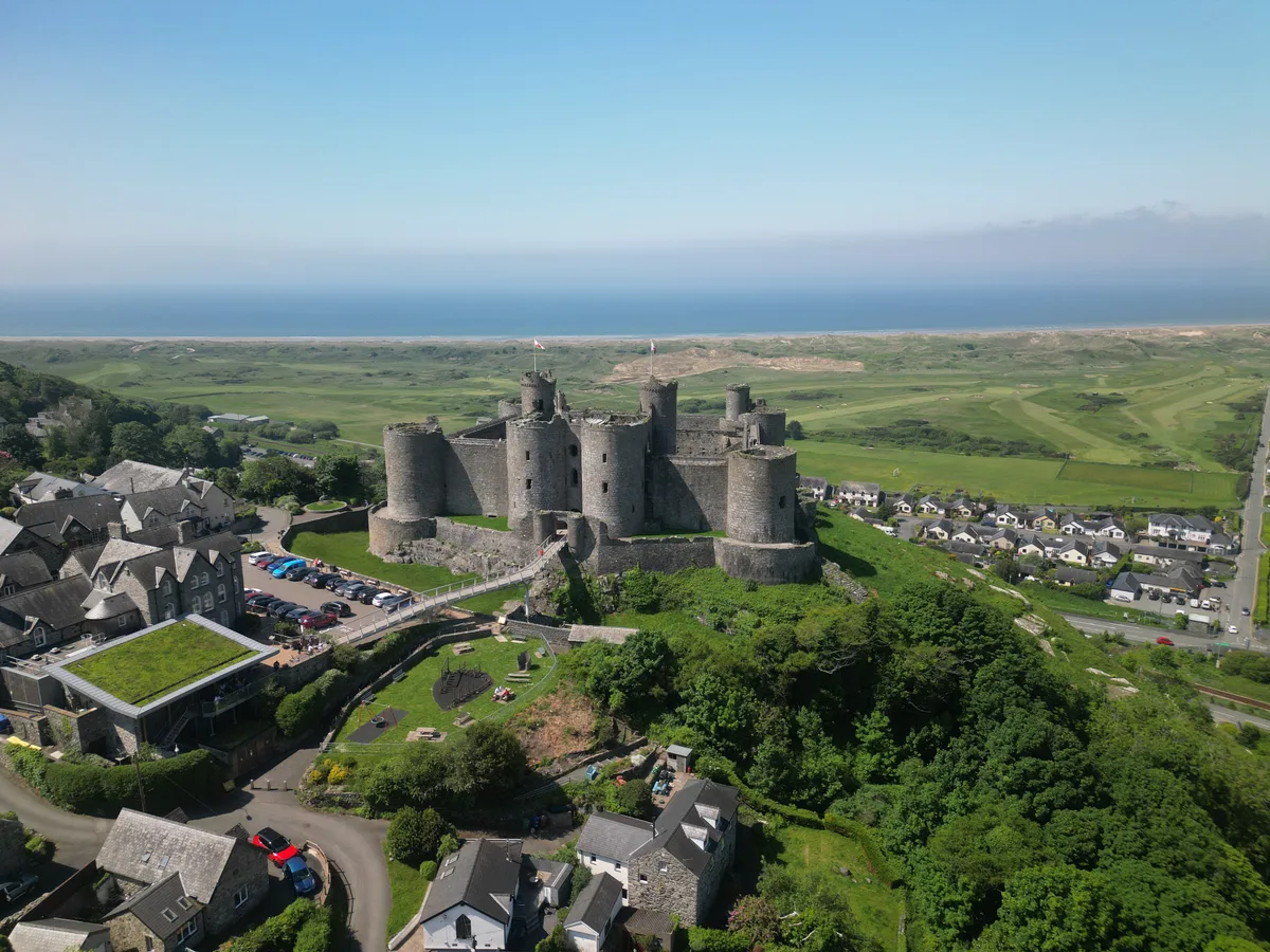
Harlech Castle
Harlech Castle — castle in Harlech, Gwynedd, Wales.
More places in this region
 📷 3
📷 3Hill forts · South Wales
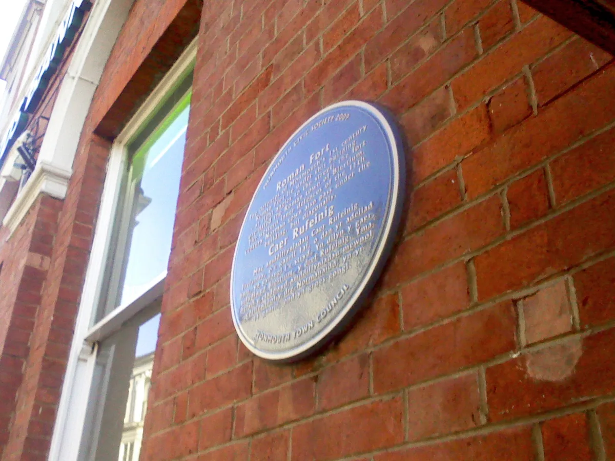
Blestium
Blestium — archaeological site in Monmouth, Wales, UK.
 📷 5
📷 5Hill forts · South Wales
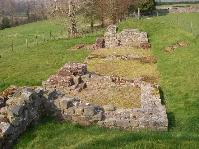
Brecon Gaer Roman Fort
Brecon Gaer Roman Fort — UK archaeological site.
 📷 3
📷 3Hill forts · South Wales
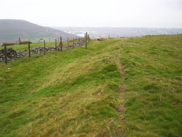
Buarth-y-Gaer
Buarth-y-Gaer — archaeological site in United Kingdom.
 📷 3
📷 3Hill forts · South Wales
Carn Llechart
Carn Llechart — archaeological site in Neath Port Talbot County Borough, Wales, UK.
Frequently asked questions
- Where is Tinkinswood?
- Tinkinswood is in South Wales, United Kingdom (postcode CF5 6ST), in the parish of St. Nicholas and Bonvilston.
- Who runs Tinkinswood?
- Tinkinswood is operated by Cadw.
- Is Tinkinswood a listed building?
- Tinkinswood is officially recognised as scheduled monument listed.
- Is Tinkinswood free to visit?
- Yes, Tinkinswood is free to enter.
- How do I get to Tinkinswood?
- The nearest railway station is Cadoxton, about 5.9 km away. Drivers can navigate to postcode CF5 6ST.