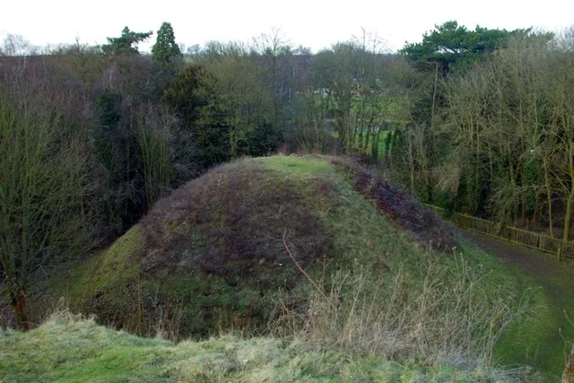
Hill forts · South Wales
Blestium
Blestium — archaeological site in Monmouth, Wales, UK.

Wikimedia Commons contributors — see linked file page for photographer and licence licence
Plan your visit
- Typical visit
- 1 h–2 h
- Nearest railway station
- Rookwood · 7.6 km
- Free entry
- Dog-friendly
About
Blestium is a hill fort in the United Kingdom. Records date its origin to AD 55. Heritage designation: National Monuments of Wales. Wikidata describes it as: "archaeological site in Monmouth, Wales, UK". Coordinates: 51.8090°, -2.7170°.
Photo gallery
Protected designations
- Site of Special Scientific Interest: River Wye SSSI
- Area of Outstanding Natural Beauty: Wye Valley
Designations sourced from Natural England open data under OGL v3.
From the Wikipedia article
Blestium (also Blestio in the Antonine Itinerary (Iter XIII)) was a small fort and iron working centre in the Roman province of Britannia Superior, part of Roman Britain. It has been identified with the site of the later town of Monmouth in south east Wales, located adjoining the confluence of the River Monnow with the River Wye. A plaque on a bank building in Munnow Street records its position.
Excerpt from Wikipedia under CC BY-SA 4.0. See the source article linked in Sources below.
Background
History
The reference to Blestio in the Antonine Itinerary is the only one made to the settlement in Roman sources. It was located on the road between Caerleon (') and Silchester ('), midway between the fort at Usk (') and the iron making centre at ', believed to be at Weston under Penyard near Ross-on-Wye. It is suggested that the name may derive from the Greek word βλαστος, meaning "offshoot". It is now generally accepted that a Neronian or pre-Flavian military fort was established at Monmouth, perhaps before 55 AD, making it the earliest Roman fort in Wales. The fort was probably established, either by Publius Ostorius Scapula or his successor Aulus Didius Gallus, during the first advances of…
Sourced from Wikipedia under CC BY-SA 4.0.
- Coordinates
- 51.8090, -2.7170
- District
- Monmouthshire
- Parish
- Monmouth
- Postcode
- NP25 3ED
- Parliamentary constituency
- Monmouthshire
- Established
- 55
- Nearest railway station
- Rookwood — 7.6 km
- Official site
- www.visitmonmouthshire.com
Sources
- wikidata: Q572453 (CC0)
- wikipedia: Blestium (CC BY-SA 4.0)
- commons: Blestium plaque, Monmouth - December 2013.jpg (CC BY-SA 4.0)
Other places nearby
Loading nearby places…
Nearby
 📷 3
📷 3Memorials & monuments · South Wales
The Robin Hood Inn
The Robin Hood Inn — a memorial in wales-south, United Kingdom.
 📷 3
📷 3Natural landmarks · South Wales
Monnow Gate
Monnow Gate — a other in wales-south, United Kingdom.
 📷 4
📷 4Historic houses · South Wales
The Vine Tree
The Vine Tree — a Grade II*-listed historic house in wales-south, United Kingdom.
 📷 5
📷 5Historic bridges · South Wales
Monnow Bridge
Monnow Bridge — a bridge in wales-south, United Kingdom.
 📷 3
📷 3Memorials & monuments · South Wales
Monmouth Millennium Wheel
Monmouth Millennium Wheel — a memorial in wales-south, United Kingdom.
 📷 5
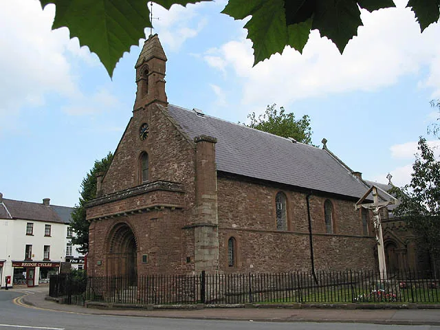
📷 5Historic churches · South Wales
St Thomas's Church
St Thomas's Church — church in Monmouth, Wales.
Other places from this era
 📷 5
📷 5Hill forts · London
Bartlow Hills
Bartlow Hills — Roman tumuli cemetery in Bartlow (Cambridgeshire, UK).
 Flagship📷 10
Hill forts · South East England
Castrum Anderitum
Castrum Anderitum — 3rd century Roman fort in the province of Britannia.
 Flagship📷 10
Hill forts · South East England
Portus Adurni
Portus Adurni is a hill fort in the United Kingdom.
 📷 5
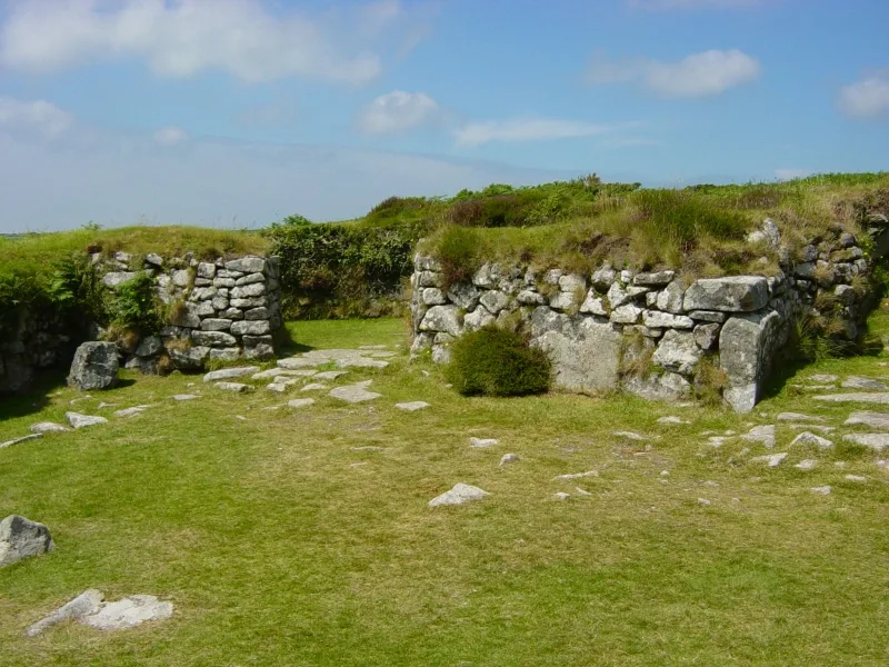
📷 5Hill forts · South West England
Chysauster Ancient Village
Chysauster Ancient Village — archaeological site in New Mill, Cornwall, Cornwall, England, UK.
More places in this region
 📷 5
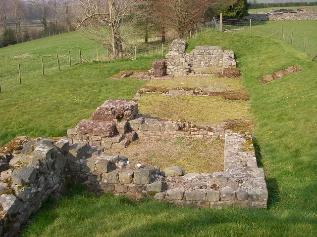
📷 5Hill forts · South Wales
Brecon Gaer Roman Fort
Brecon Gaer Roman Fort — UK archaeological site.
 📷 3
📷 3Hill forts · South Wales
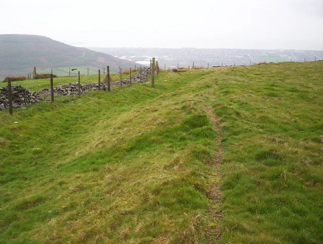
Buarth-y-Gaer
Buarth-y-Gaer — archaeological site in United Kingdom.
 📷 3
📷 3Hill forts · South Wales
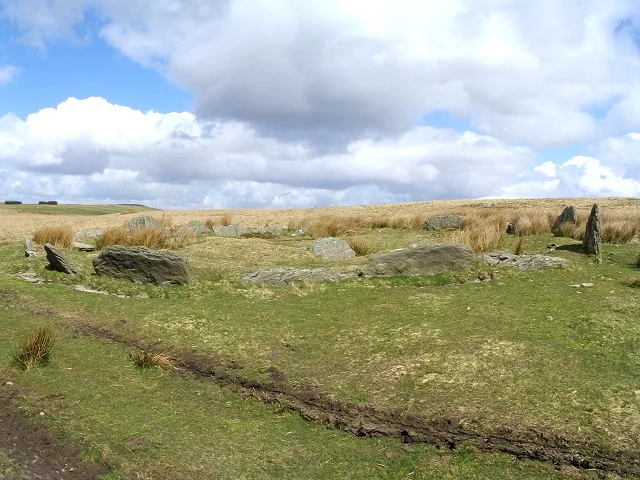
Carn Llechart
Carn Llechart — archaeological site in Neath Port Talbot County Borough, Wales, UK.
 📷 3
📷 3Hill forts · South Wales
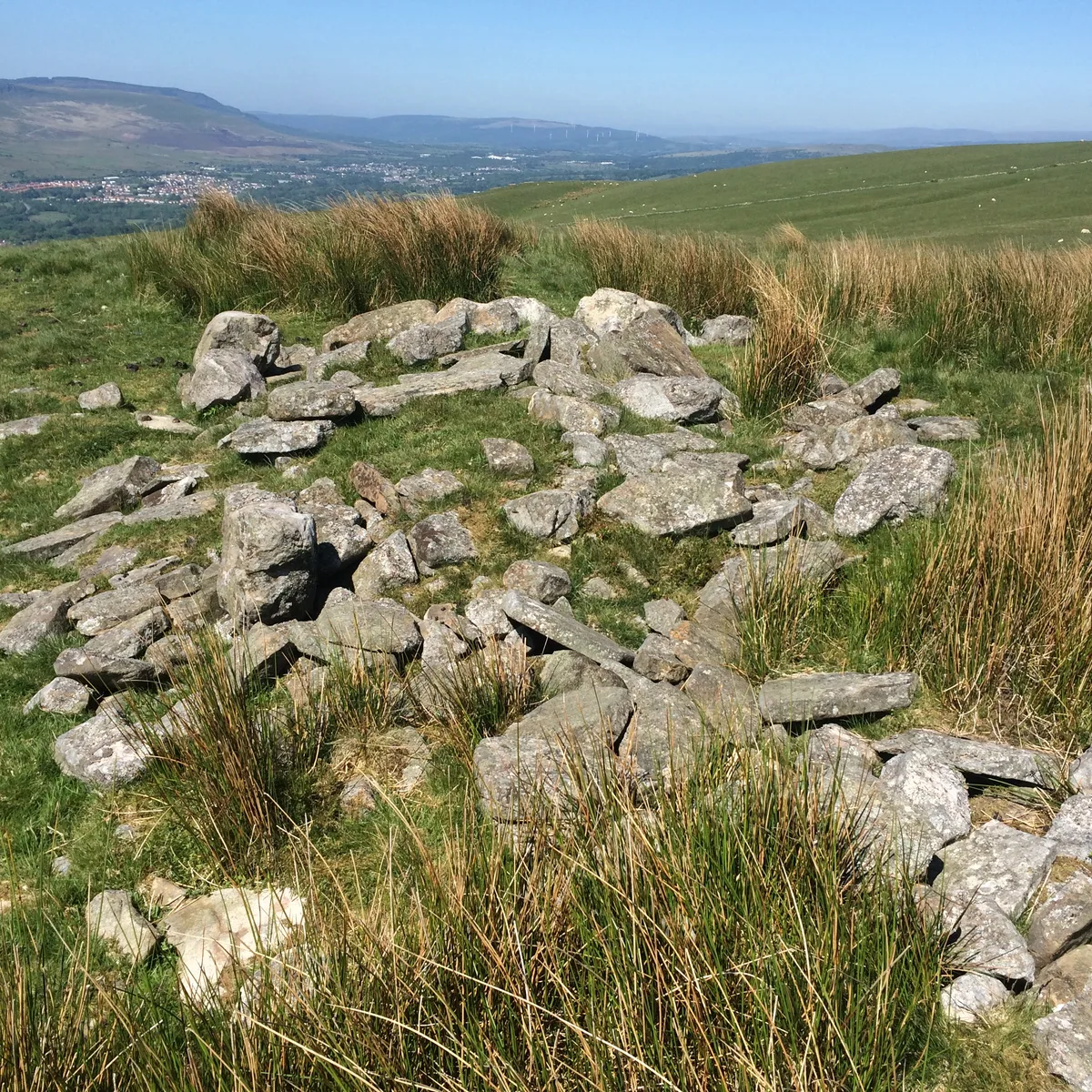
Carn Pentyle-Hir & Adjacent Round Cairn
Carn Pentyle-Hir & Adjacent Round Cairn — archaeological site in Rhondda Cynon Taf, Wales, UK.
Frequently asked questions
- Where is Blestium?
- Blestium is in South Wales, United Kingdom (postcode NP25 3ED), in the parish of Monmouth.
- When was Blestium built?
- Dates from the Roman period.
- Is Blestium a listed building?
- Blestium is officially recognised as National Monuments of Wales listed.
- Is Blestium a protected site?
- Yes — Blestium is part of the River Wye SSSI Site of Special Scientific Interest and the Wye Valley National Landscape (AONB).
- Is Blestium free to visit?
- Yes, Blestium is free to enter.
- How do I get to Blestium?
- The nearest railway station is Rookwood, about 7.6 km away. Drivers can navigate to postcode NP25 3ED.