Mountains & hills · South Wales
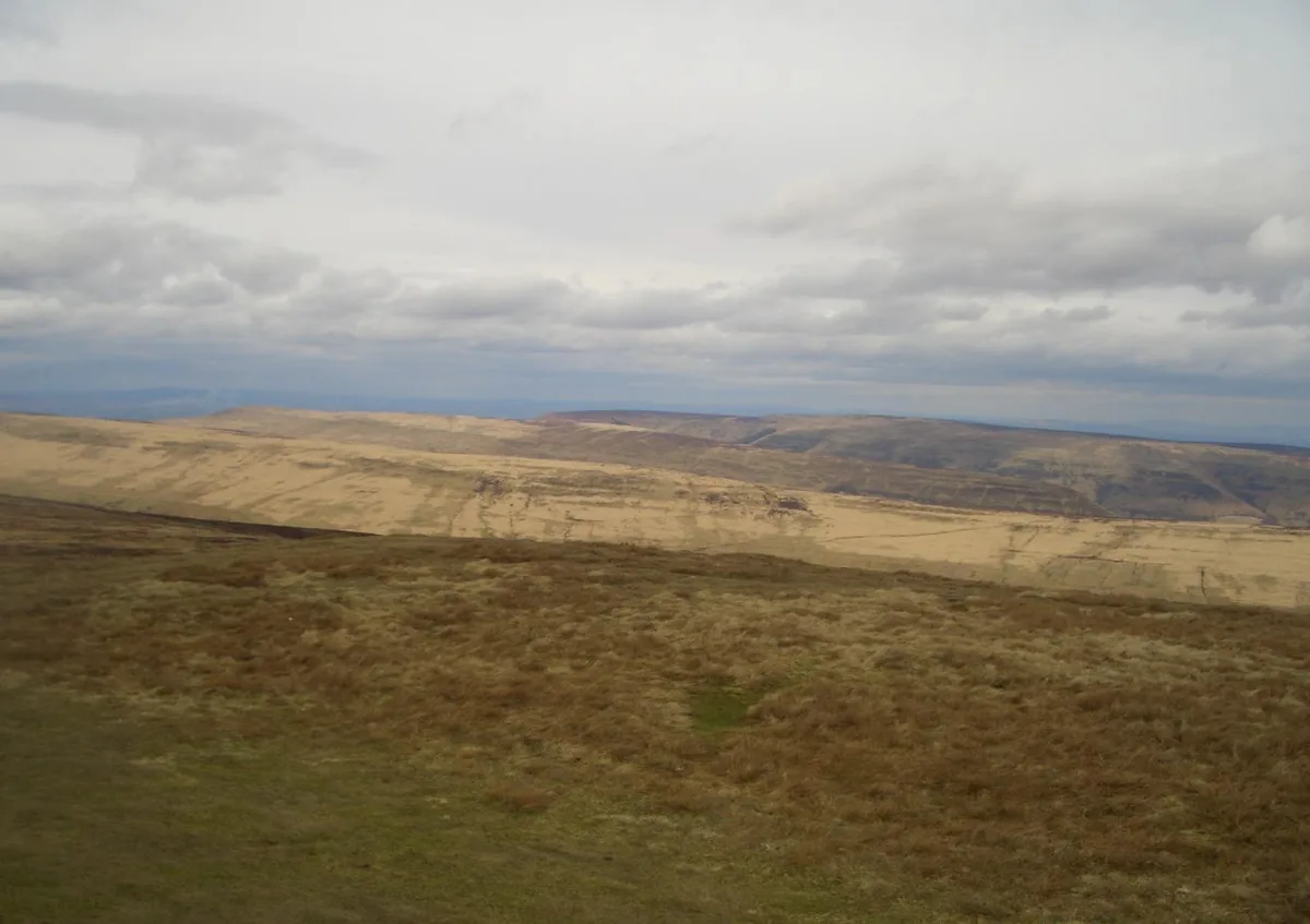
Red Daren
Red Daren — a mountain in wales-south, United Kingdom, 610 m.

Philip Halling — CC BY-SA 2.0 via Wikimedia Commons licence
Plan your visit
- Typical visit
- 3 h–8 h
- Best time of year
- Late spring – early autumn (May–Oct)
- Free entry
- Dog-friendly
About
Red Daren is a named summit in wales-south, United Kingdom, with an elevation of approximately 610 metres. Listed in the Wikidata register of UK peaks; see the Wikipedia article for further details on the mountain's location, geology and walking routes.
Photo gallery
Place summary
Red Daren is a mountain located in South Wales. It is notable for its rugged terrain and natural beauty, making it a prominent feature in the local landscape.
AI-generated from the structured facts on this page (operator, designation, listing, era). Not a substitute for visiting.
- Coordinates
- 51.9708, -3.0480
- District
- Herefordshire, County of
- Parish
- Llanveynoe
- Postcode
- HR2 0NF
- Parliamentary constituency
- Hereford and South Herefordshire
Sources
- wikidata: Q20593456 (CC0)
Other places nearby
Loading nearby places…
Nearby
📷 3Mountains & hills · South Wales
Pen-y-Garn Fawr
Pen-y-Garn Fawr — a mountain in wales-south, United Kingdom, 616 m.
 📷 4
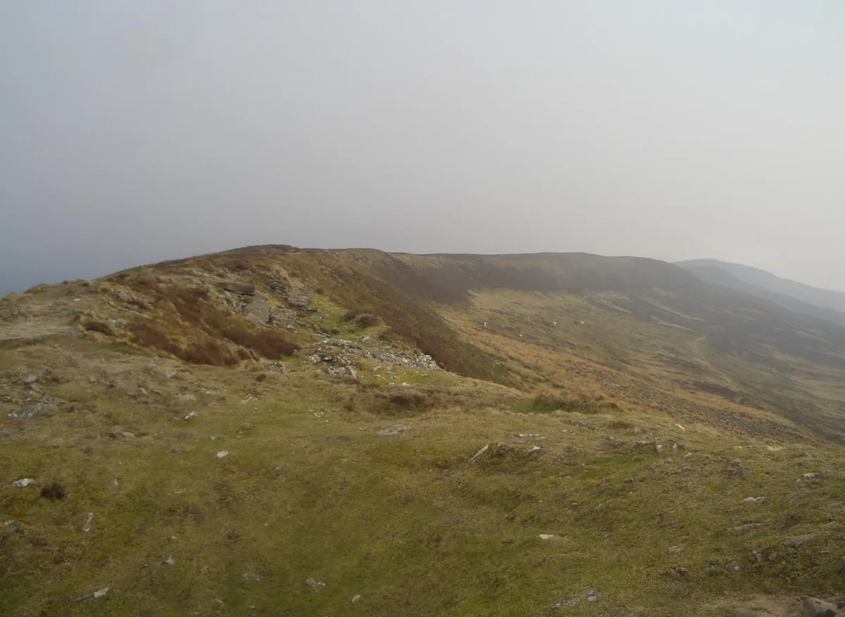
📷 4Abbeys & priories · Mid Wales
Hatterrall Ridge
Hatterrall Ridge in Wales Mid, United Kingdom.
 📷 3
📷 3Mountains & hills · South Wales
Black Mountain South Top
Black Mountain South Top — Named summit at 637 m.
 📷 3
📷 3Natural landmarks · South Wales
Little Black Hill
Little Black Hill — a other in wales-south, United Kingdom.
 📷 5
📷 5National parks · Mid Wales
Llanveynoe
Llanveynoe in Wales Mid, United Kingdom.
 📷 3
📷 3Natural landmarks · South Wales
Chwarel y Fan
Chwarel y Fan — mountain (679m) in Monmouthshire.
More mountains in this region
 Flagship📷 3
Mountains & hills · South Wales
Milford Haven Waterway
Milford Haven Waterway — ria, or flooded valley, in Pembrokeshire, south-west Wales, UK.
 📷 5
📷 5Mountains & hills · South Wales
Ogof Ffynnon Ddu
Ogof Ffynnon Ddu — cave in the Upper Swansea Valley in South Wales.
 📷 3
📷 3Mountains & hills · South Wales
Abereiddi Bay
Abereiddi Bay — bay in the United Kingdom.
 📷 3
📷 3Mountains & hills · South Wales
Allt Lwyd
Allt Lwyd — Named summit at 653 m.
Frequently asked questions
- Where is Red Daren?
- Red Daren is in South Wales, United Kingdom (postcode HR2 0NF), in the parish of Llanveynoe.
- Is Red Daren free to visit?
- Yes, Red Daren is free to enter.
- How do I get to Red Daren?
- Drivers can navigate to postcode HR2 0NF. It sits within the Hereford and South Herefordshire parliamentary constituency.