Abbeys & priories · Mid Wales
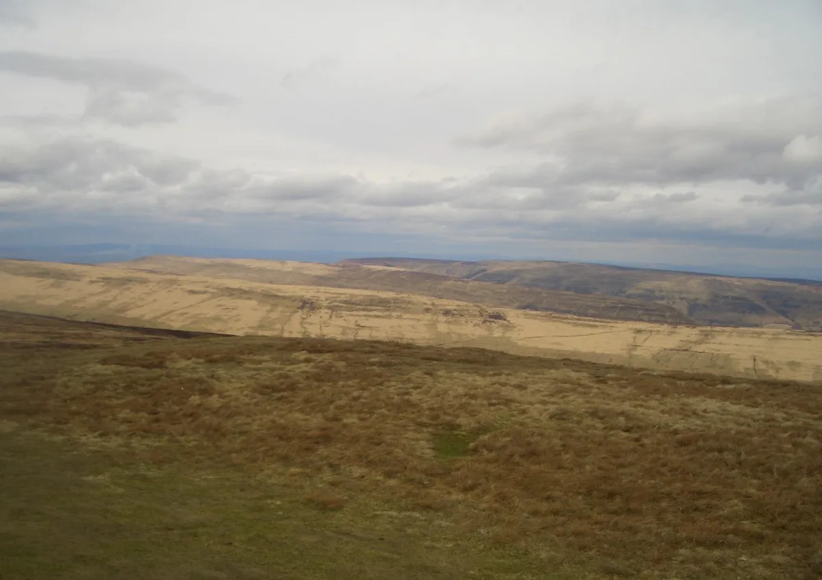
Hatterrall Ridge
Hatterrall Ridge in Wales Mid, United Kingdom.

Chris Heaton — CC BY-SA 2.0 via Wikimedia Commons licence
Plan your visit
- Typical visit
- 45 min–1.5 h
- Family-friendly
- Limited wheelchair access
About
Hatterrall Ridge is a place of interest in Wales Mid, United Kingdom — drawn from open-data sources for visitor reference. See the linked Wikipedia article for the full description.
Photo gallery
From the Wikipedia article
The Hatterrall Ridge (sometimes spelled Hatterall) is a ridge in the Black Mountains forming the border between Powys and Monmouthshire in Wales and Herefordshire in England. The ridge is about 10 miles (16 km) long, and is followed by the Offa's Dyke Path. On the west side of the ridge is the Vale of Ewyas, and on the east side is the Olchon Valley and Black Hill. The western side of the ridge falls within the Brecon Beacons National Park. Much of the northern part of the ridge is a broad whaleback, but it narrows down considerably further south, and especially near to Llanthony Priory in the Vale of Ewyas to the west of the mountain. There is a large and prominent landslip on the eastern side of the mountain here, known as Black Darren, where a large slice of the rocks has fallen away from the main mass of the hill. The ridge to the southwest ends abruptly at the sheer cliff known as the Darren below which is a considerable landslide area extending south to the hamlet of Cwmyoy with its misshapen church.
Excerpt from Wikipedia under CC BY-SA 4.0. See the source article linked in Sources below.
Background
Visiting
Offa's Dyke Path passes along the ridge, more or less from south to north, while a steeper path leads to the summit from near the former youth hostel in the Vale of Ewyas to the west. The path is well marked and surfaced over most of its length along the ridge, with stone pavements across very wet parts. The summit is unmarked and, because of the very shallow gradients along the summit ridge, virtually impossible to determine on site. However, there are several landmarks, such as a trig point, signposts, and stone cairns. There are many footpaths and bridleways which cross the main path along the back of the ridge, which give access both to the Vale of Ewyas to the west and the Olchon…
Sourced from Wikipedia under CC BY-SA 4.0.
- Coordinates
- 51.9840, -3.0680
- District
- Herefordshire, County of
- Parish
- Llanveynoe
- Postcode
- HR2 0NJ
- Parliamentary constituency
- Hereford and South Herefordshire
Sources
- wikidata: Q5681989 (CC0)
- wikipedia: Hatterrall Ridge (CC BY-SA 4.0)
Other places nearby
Loading nearby places…
Nearby
 📷 3
📷 3Mountains & hills · South Wales
Black Mountain South Top
Black Mountain South Top — Named summit at 637 m.
 📷 5
📷 5Historic churches · South Wales
Capel-y-Ffin Welsh Baptist Church
Capel-y-Ffin Welsh Baptist Church — Grade II listed building-listed church in wales-south, United Kingdom.
 📷 4
📷 4National parks · Mid Wales
Capel-y-ffin
Capel-y-ffin in Wales Mid, United Kingdom.
 📷 3
📷 3Mountains & hills · South Wales
Pen-y-Garn Fawr
Pen-y-Garn Fawr — a mountain in wales-south, United Kingdom, 616 m.
 📷 3
📷 3Abbeys & priories · South Wales
The Monastery Church, Capel-y-Ffin
The Monastery Church, Capel-y-Ffin — a abbey in wales-south, United Kingdom.
 📷 3
📷 3Memorials & monuments · South Wales
Father Ignatius
Father Ignatius — a memorial in wales-south, United Kingdom.
More abbeys in this region
 📷 5
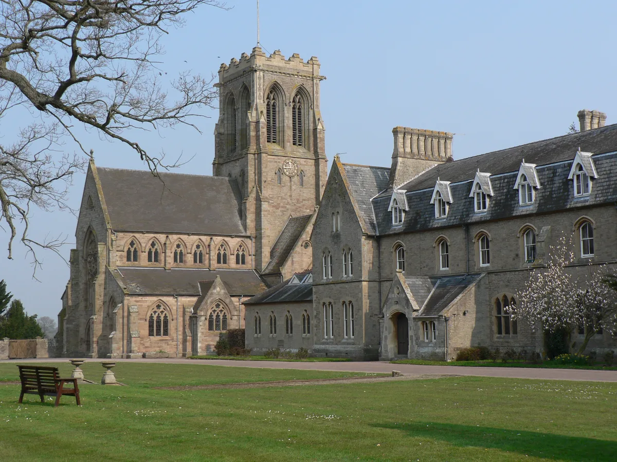
📷 5Abbeys & priories · Mid Wales
Belmont Abbey, Herefordshire
Belmont Abbey, Herefordshire — abbey in Clehonger, Herefordshire, England, UK.
 📷 3
📷 3Abbeys & priories · Mid Wales
Cefnllys
Cefnllys — Historic borough in Powys, Wales.
 📷 3
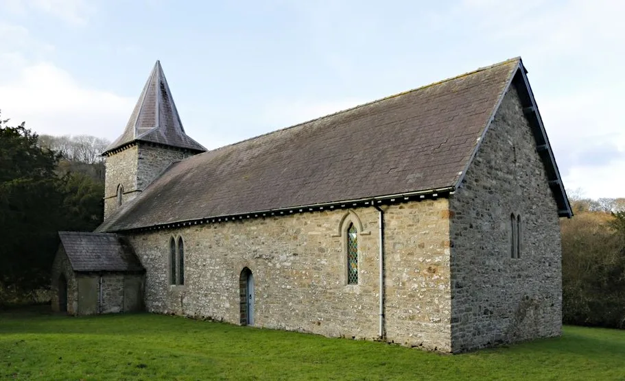
📷 3Abbeys & priories · Mid Wales
Cwmhir Abbey
Cwmhir Abbey — Grade II* listed building in Abbeycwmhir. Abbey.
 📷 3
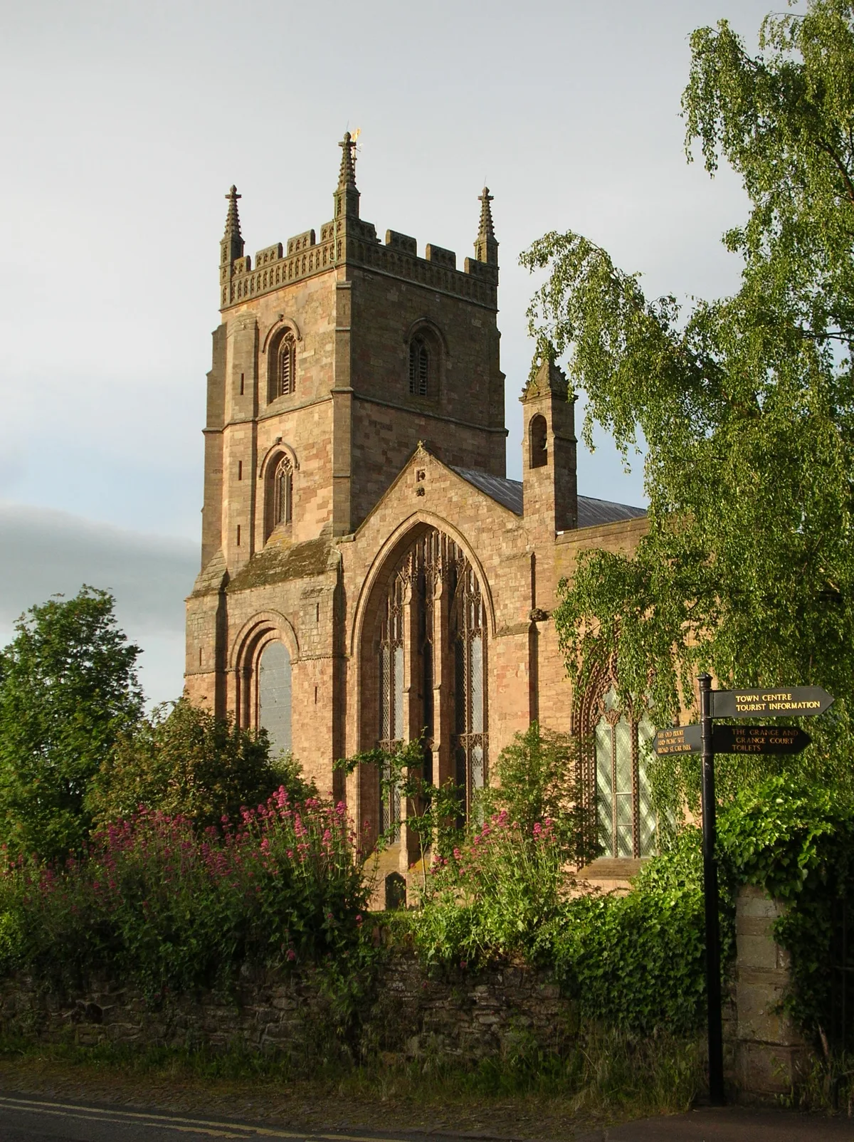
📷 3Abbeys & priories · Mid Wales
Leominster Abbey
Leominster Abbey — abbey in Herefordshire, England, UK.
Frequently asked questions
- Where is Hatterrall Ridge?
- Hatterrall Ridge is in Mid Wales, in the United Kingdom — coordinates 51.9840°, -3.0680°.
- Is Hatterrall Ridge wheelchair accessible?
- Partially — OpenStreetMap notes limited wheelchair access at Hatterrall Ridge. Check ahead for specific facilities.