Towns & cities · Mid Wales
Priestweston
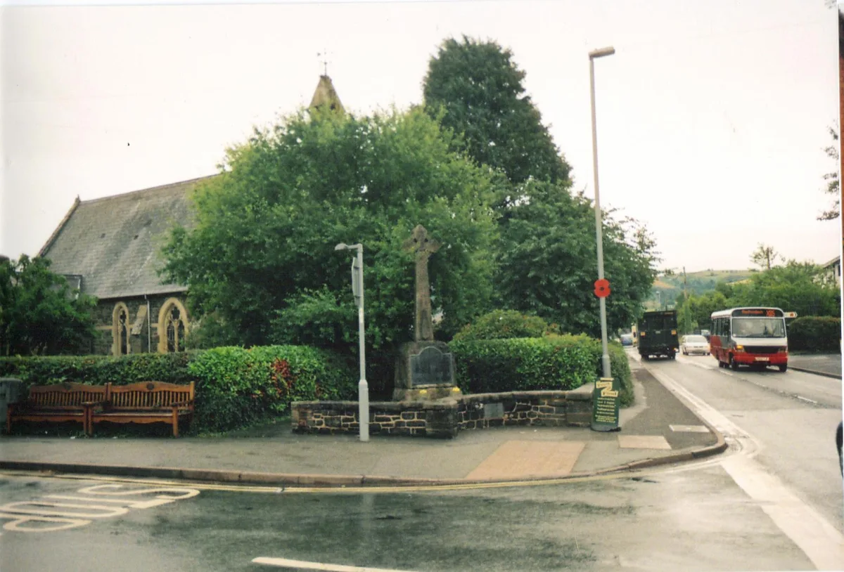
Priestweston — village in Shropshire, United Kingdom.

Wikimedia Commons contributors — see linked file page for photographer and licence licence
Plan your visit
- Typical visit
- 3 h–6 h
- Free entry
- Family-friendly
- Dog-friendly
About
Priestweston is a town, city, village or settlement in the United Kingdom. Wikidata describes it as: "village in Shropshire, United Kingdom". Coordinates: 52.5715°, -3.0505°.
Photo gallery
Protected designations
- Area of Outstanding Natural Beauty: Shropshire Hills
Designations sourced from Natural England open data under OGL v3.
From the Wikipedia article
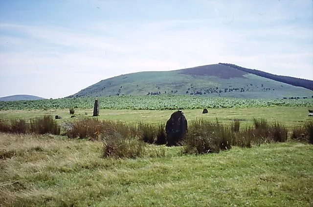
Priestweston (or Priest Weston) is a small village in the civil parish of Chirbury with Brompton, Shropshire, England, lying in the Welsh Marches. The village is located near to the English-Welsh border, at the foot of Corndon Hill. Due to a quirk of the border geography in the area of Corndon Hill, the nearest village in Wales, White Grit, lies to the east of Priestweston. Its name is based on the Old English for "western settlement (tun)", with the affix priest in reference to the estate of the Prior of Chirbury at Weston Parva. It was mentioned in Domesday, and later became part of the possessions of the Botterell family. Second World War Victoria Cross winner John Brunt was born there in 1922 and his family lived there before moving to near Whittington some six years later. An outdoor memorial plaque to his memory was put up in the village in May 2004. The village church at Middleton-in-Chirbury is located a mile from Priestweston. A megalithic stone circle known as Mitchell's Fold is located within Shropshire on nearby Stapeley Hill, and there are also remains of a second circle, known as the Whetstones, a short distance to the east over the Welsh border in Montgomeryshire. There is also a traditional pub, The Miner's Arms. National Cycle Route 44 passes through the village.
Excerpt from Wikipedia under CC BY-SA 4.0. See the source article linked in Sources below.
- Coordinates
- 52.5715, -3.0505
- District
- Shropshire
- Parish
- Chirbury with Brompton
- Postcode
- SY15 6DE
- Parliamentary constituency
- South Shropshire
Sources
- wikidata: Q547050 (CC0)
- wikipedia: Priestweston (CC BY-SA 4.0)
- commons: The Old Miners Arms, Priest Weston - geograph.org.uk - 654321.jpg (CC BY-SA 4.0)
Other places nearby
Loading nearby places…
Nearby
 📷 4
📷 4Other places · Mid Wales
River Onny
River Onny in Wales Mid, United Kingdom.
 📷 3
📷 3Hill forts · Mid Wales
Whetstones
Whetstones — ancient pagan monument in Powys, Wales, UK.
 📷 3
📷 3Archaeological sites · Mid Wales
Mitchell's Fold stone circle, standing stone and cairn 280m south west of Mitchell's Fold
Mitchell's Fold stone circle, standing stone and cairn 280m south west of Mitchell's Fold — archaeological site in Chirbury with Brompton, Shropshire, England, UK.
 📷 3
📷 3Mountains & hills · Mid Wales
Corndon Hill
Corndon Hill — Named summit at 513 m.
Vineyards · Mid Wales
Caerbre
Caerbre — a UK vineyard in wales mid, producing English or Welsh wine from cool-climate grape varieties.
 📷 5
📷 5Memorials & monuments · Mid Wales
Mitchell's Fold
Mitchell's Fold in Wales Mid, United Kingdom.
More towns in this region
 📷 4
📷 4Towns & cities · Mid Wales
Aberdyfi
Aberdyfi — village and community in Gwynedd, Wales.
 Flagship📷 3
Towns & cities · Mid Wales
Aberporth
Aberporth — village and community in Ceredigion, Wales, UK.
 📷 4
📷 4Towns & cities · Mid Wales
Borth
Borth — village and community in Ceredigion, Wales, UK.
 Flagship📷 5
Towns & cities · Mid Wales
Caersws
Caersws — village and community in Powys, Wales.
Frequently asked questions
- Where is Priestweston?
- Priestweston is in Mid Wales, United Kingdom (postcode SY15 6DE), in the parish of Chirbury with Brompton.
- Is Priestweston a protected site?
- Yes — Priestweston is part of the Shropshire Hills National Landscape (AONB).
- Is Priestweston free to visit?
- Yes, Priestweston is free to enter.
- How do I get to Priestweston?
- Drivers can navigate to postcode SY15 6DE. It sits within the South Shropshire parliamentary constituency.