Hill forts · Mid Wales
Hoarstones
Hoarstones — archaeological site in Chirbury with Brompton, Shropshire, England, UK.

Wikimedia Commons contributors — see linked file page for photographer and licence licence
Plan your visit
- Typical visit
- 1 h–2 h
- Free entry
- Dog-friendly
About
Hoarstones is a hill fort in the United Kingdom. Heritage designation: scheduled monument. Wikidata describes it as: "archaeological site in Chirbury with Brompton, Shropshire, England, UK". Coordinates: 52.5929°, -2.9993°.
Photo gallery
Protected designations
- Area of Outstanding Natural Beauty: Shropshire Hills
Designations sourced from Natural England open data under OGL v3.
From the Wikipedia article
The Hoarstones, or Hoar Stone Circle, is a stone circle in the civil parish of Chirbury with Brompton in the English county of Shropshire. The Hoarstones are part of a tradition of stone circle construction that spread throughout much of Britain, Ireland, and Brittany during the Late Neolithic and Early Bronze Ages, over a period between 3300 and 900 BCE. The purpose of such monuments is unknown. The Hoarstones are one of up to five stone circles known from this area, on the borders between Shropshire and Powys. Of these, only the Hoarstones and Mitchell's Fold survive. Shaped elliptically, the Hoarstones circle measures 23.3 by 21.1m in diameter. It contains between 38 and 40 small stones, identified as dolerites probably sourced locally. There is a central stone inside the circle, although whether this was part of its original prehistoric design is unclear. Several of the stones contain small holes, which according to 19th-century accounts were caused by miners drilling holes into them; gunpowder was then placed into these holes and lit to produce explosions. The existence of the circle was noted by the antiquarian Reverend C. H. Hartshorne in 1838. An excavation took place in 1924, led by Lily F. Chitty.
Excerpt from Wikipedia under CC BY-SA 4.0. See the source article linked in Sources below.
Background
Description
The ground on which the circle stands is flat, and often boggy. The Hoarstones contains between 38 and 40 stones, arranged in an elliptical fashion. The ring measures between 23.3 by 21.1m in diameter, making it larger than average for the stone circle tradition. Burl noted that it was "irregularly graded" to the southeast. There is a gap between stones on the east side of the monument, which may have been originally intended as an entrance into the ring. Just south of the centre of the circle is a single stone, measuring around 1 metre (3 feet) high; it is unclear if this is an original prehistoric feature of the monument or a later addition. Unlike at some stone circles, there is no clear…
Sourced from Wikipedia under CC BY-SA 4.0.
- Coordinates
- 52.5929, -2.9993
- District
- Shropshire
- Parish
- Worthen with Shelve
- Postcode
- SY5 0JE
- Parliamentary constituency
- South Shropshire
Sources
- wikidata: Q5874573 (CC0)
- wikipedia: Hoarstones (CC BY-SA 4.0)
- commons: Hoarstones stone circle with Corndon Hill in the background - geograph.org.uk - 209189.jpg (CC BY-SA 4.0)
Other places nearby
Loading nearby places…
Nearby
 📷 3
📷 3Stone circles · Mid Wales
Hoarstones Stone Circle
Hoarstones Stone Circle — a stone circle in wales-mid, United Kingdom.
 📷 3
📷 3Farms (open to visitors) · Mid Wales
Engine house at Ladywell lead mine, 850m north west of Shelve Farm
Engine house at Ladywell lead mine, 850m north west of Shelve Farm — a Grade II*-listed farm in wales-mid, United Kingdom.
 📷 4
📷 4Natural landmarks · Mid Wales
Bentlawnt
Bentlawnt in Wales Mid, United Kingdom.
Vineyards · Mid Wales
Castle Ring: a large univallate hillfort, 600m south east of Meadowtown Farm
Castle Ring: a large univallate hillfort, 600m south east of Meadowtown Farm — a UK vineyard in wales mid, producing English or Welsh wine from cool-climate grape varieties.
 📷 4
📷 4Forests & woodlands · Mid Wales
Meadowtown
Meadowtown in Wales Mid, United Kingdom.
 📷 4
📷 4Historic churches · Mid Wales
Shelve
Shelve in Wales Mid, United Kingdom.
More places in this region
 📷 5
📷 5Hill forts · Mid Wales
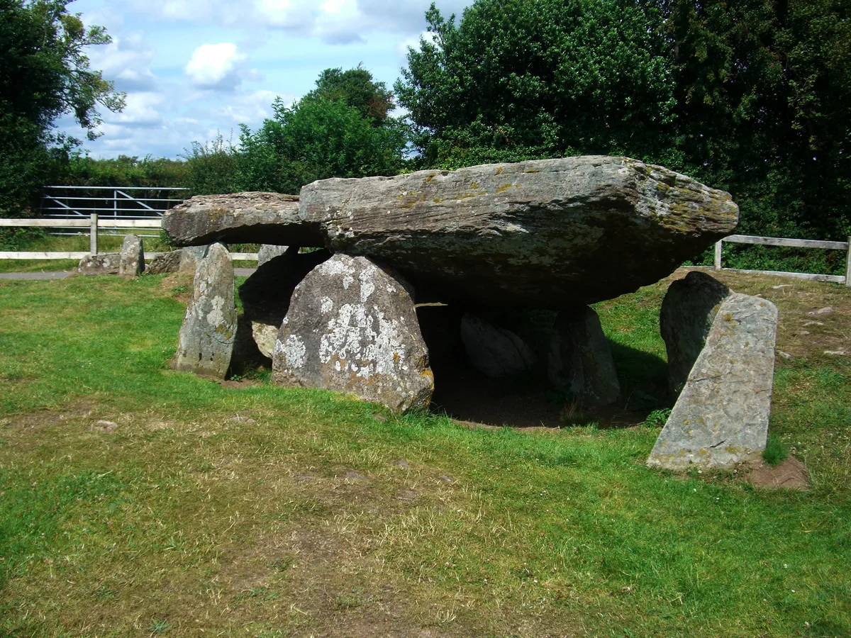
Arthur's Stone, Herefordshire
Arthur's Stone, Herefordshire is a hill fort in the United Kingdom.
 📷 3
📷 3Hill forts · Mid Wales
Aymestrey burial
Aymestrey burial — Beaker cist discovered in Herefordshire, England.
 📷 3
📷 3Hill forts · Mid Wales
Bedd Taliesin
Bedd Taliesin — listed Historic Monument and grave.
 📷 3
📷 3Hill forts · Mid Wales
Bremia
Bremia — archaeological site in Ceredigion, Wales, UK.
Frequently asked questions
- Where is Hoarstones?
- Hoarstones is in Mid Wales, United Kingdom (postcode SY5 0JE), in the parish of Worthen with Shelve.
- Is Hoarstones a listed building?
- Hoarstones is officially recognised as scheduled monument listed.
- Is Hoarstones a protected site?
- Yes — Hoarstones is part of the Shropshire Hills National Landscape (AONB).
- Is Hoarstones free to visit?
- Yes, Hoarstones is free to enter.
- How do I get to Hoarstones?
- Drivers can navigate to postcode SY5 0JE. It sits within the South Shropshire parliamentary constituency.