Hill forts · Mid Wales
Arthur's Stone, Herefordshire
Arthur's Stone, Herefordshire is a hill fort in the United Kingdom.

Wikimedia Commons contributors — see linked file page for photographer and licence licence
Plan your visit
- Typical visit
- 1 h–2 h
- Free entry
- Family-friendly
- Dog-friendly
- Limited wheelchair access
About
Arthur's Stone, Herefordshire is a hill fort in the United Kingdom. Heritage designation: scheduled monument. Owned by English Heritage. Managed by English Heritage. Coordinates: 52.0822°, -2.9954°.
Photo gallery
Protected designations
- Site of Special Scientific Interest: River Lugg SSSI
- Site of Special Scientific Interest: River Wye SSSI
Designations sourced from Natural England open data under OGL v3.
From the Wikipedia article
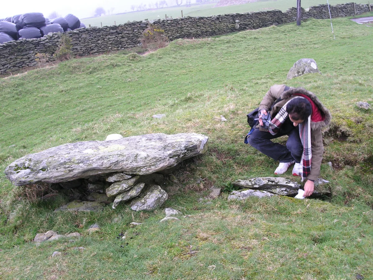
Arthur's Stone is a Neolithic chambered tomb, or dolmen, in Herefordshire, England. It is situated on the ridge line of a hill overlooking both the Golden Valley, Herefordshire and the Wye Valley. The tomb dates from 3700 BC – 2700 BC.
Excerpt from Wikipedia under CC BY-SA 4.0. See the source article linked in Sources below.
Background
History
Excavations were undertaken by Nash in 2006, followed by preliminary excavations to the mound by Boucher and Rouse from Headland Archaeology (2011). Another excavation of the site was conducted in 2023.
Description
The tomb is topped by a large capstone, estimated to weigh more than 25 tonnes. The capstone rests on nine uprights and there is a curved, long entrance passageway. To the north, there was once a cup-marked stone called the Quoit Stone. This can no longer be clearly seen, and now a stone to the south of the monument has become known as the Quoit Stone. The stones would originally have been buried within a mound, aligned north-south and of approximately 25 metres in length with an east-facing entrance and a south-facing false portal. The mound is now, however, almost completely eroded and the capstone is broken with a large section fallen from its underside. The site is defined and protected…
Sourced from Wikipedia under CC BY-SA 4.0.
- Coordinates
- 52.0822, -2.9954
- District
- Herefordshire, County of
- Parish
- Dorstone
- Postcode
- HR3 6AX
- Parliamentary constituency
- Hereford and South Herefordshire
- Official site
- www.english-heritage.org.uk
Sources
- wikidata: Q4797722 (CC0)
- wikipedia: Arthur's Stone, Herefordshire (CC BY-SA 4.0)
- commons: St Arthur's Stone, Dorstone.jpg (CC BY-SA 4.0)
Other places nearby
Loading nearby places…
Nearby
 📷 3
📷 3Archaeological sites · Mid Wales
Arthurs Stone
Arthurs Stone — a archaeological in wales-mid, United Kingdom.
 📷 4
📷 4Heritage railway stations · Mid Wales
Dorstone railway station
Dorstone railway station in Wales Mid, United Kingdom.
Vineyards · Mid Wales
Promontory fort on Dorstone Hill
Promontory fort on Dorstone Hill — a UK vineyard in wales mid, producing English or Welsh wine from cool-climate grape varieties.
 📷 5
📷 5Castles · Mid Wales
Dorstone
Dorstone in Wales Mid, United Kingdom.
 📷 4
📷 4Castles · Mid Wales
Dorstone Castle
Dorstone Castle in Wales Mid, United Kingdom.
Hotels · Mid Wales
Red Lion
Red Lion — a hotel in wales mid.
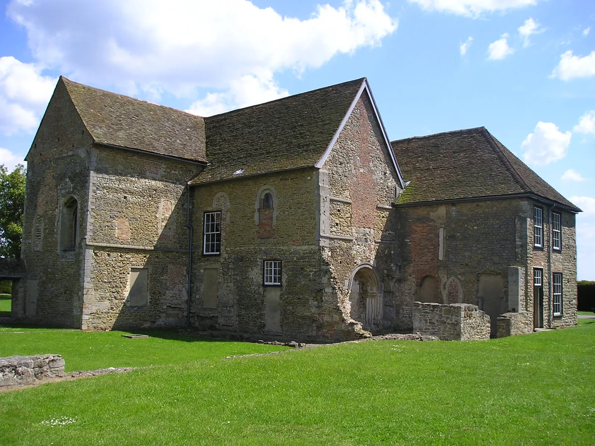
More places run by English Heritage
 Flagship📷 10
Museums · London
Kenwood House
Kenwood House — art museum and historic house in Hampstead, London.
 📷 5
📷 5Galleries · London
Apsley House
Apsley House — London townhouse of the Dukes of Wellington.
 ★ Iconic📷 5
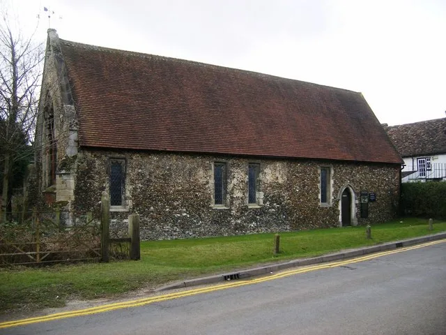
Abbeys & priories · London
Denny Abbey
Denny Abbey — church in South Cambridgeshire, England, UK.
 📷 5
📷 5Chapels · London
Duxford Chapel
Duxford Chapel — chapel in Whittlesford, Cambridgeshire, England, UK.
More places in this region
 📷 3
📷 3Hill forts · Mid Wales
Aymestrey burial
Aymestrey burial — Beaker cist discovered in Herefordshire, England.
 📷 3
📷 3Hill forts · Mid Wales
Bedd Taliesin
Bedd Taliesin — listed Historic Monument and grave.
 📷 3
📷 3Hill forts · Mid Wales
Bremia
Bremia — archaeological site in Ceredigion, Wales, UK.
 📷 3
📷 3Hill forts · Mid Wales
Caer Rufeinig Pen-llwyn
Caer Rufeinig Pen-llwyn — archaeological site in Ceredigion, Wales, UK.
Frequently asked questions
- Where is Arthur's Stone, Herefordshire?
- Arthur's Stone, Herefordshire is in Mid Wales, United Kingdom (postcode HR3 6AX), in the parish of Dorstone.
- Who runs Arthur's Stone, Herefordshire?
- Arthur's Stone, Herefordshire is operated by English Heritage.
- Is Arthur's Stone, Herefordshire a listed building?
- Arthur's Stone, Herefordshire is officially recognised as scheduled monument listed.
- Is Arthur's Stone, Herefordshire a protected site?
- Yes — Arthur's Stone, Herefordshire is part of the River Lugg SSSI Site of Special Scientific Interest and the River Wye SSSI Site of Special Scientific Interest.
- Is Arthur's Stone, Herefordshire free to visit?
- Yes, Arthur's Stone, Herefordshire is free to enter.
- How do I get to Arthur's Stone, Herefordshire?
- Drivers can navigate to postcode HR3 6AX. It sits within the Hereford and South Herefordshire parliamentary constituency.