Towns & cities · Mid Wales
Caersws
Caersws — village and community in Powys, Wales.

Wikimedia Commons contributors — see linked file page for photographer and licence licence
Plan your visit
- Typical visit
- 3 h–6 h
- Nearest railway station
- Caersws · 0.9 km
- Free entry
- Family-friendly
- Dog-friendly
About
Caersws is a town, city, village or settlement in the United Kingdom. It covers approximately 4,473 km². Recent population estimates put it at around 1,537 people. Wikidata describes it as: "village and community in Powys, Wales". Coordinates: 52.5215°, -3.4224°.
Photo gallery
From the Wikipedia article
Caersws (Welsh: Caersŵs; pronounced [kɑːɨrˈsuːs] ) is a village and community on the River Severn, in the Welsh county of Powys; it was formerly in Montgomeryshire. It is located 5 miles (8 km) west of Newtown, halfway between Aberystwyth and Shrewsbury. At the 2011 census, the community had a population of 1,586 – a figure which includes the settlements of Clatter, Llanwnnog and Pontdolgoch; the village itself had a population of slightly over 800.
Excerpt from Wikipedia under CC BY-SA 4.0. See the source article linked in Sources below.
Background
History
Caersws was the location of two Roman forts of Roman Wales. Although the Mediolanum of the Antonine Itinerary has since been identified as Whitchurch in Shropshire, Caersws is sometimes identified as the Mediolanum among the Ordovices described in Ptolemy's Geography, although others argue for Llanfyllin Further, this second Mediolanum may be identical or distinct from the "Mediomanum" ( "Central Hand") mentioned by the Ravenna Cosmography.
Architecture
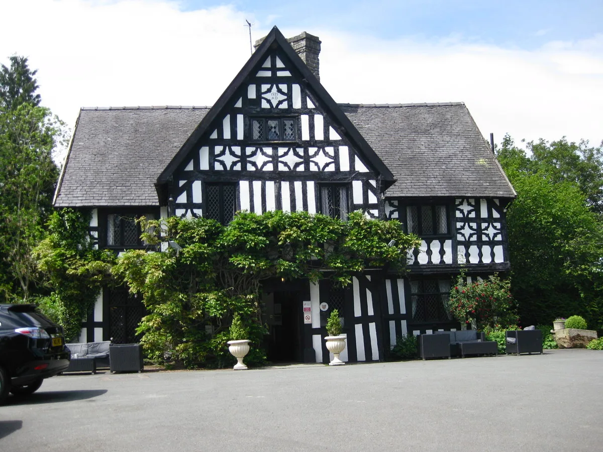
The Church of St Gwynog dates from the 15th century and was restored in 1863. It contains a 15th century rood screen and loft which the Royal Commission on the Ancient and Historical Monuments of Wales describes as "exceptional; the best-preserved of thirty known to have existed in the county". Maesmawr Hall, to the south-east of the village, was built in the early 19th century and is a Grade II* listed building.
Sourced from Wikipedia under CC BY-SA 4.0.
- Coordinates
- 52.5215, -3.4224
- District
- Powys
- Parish
- Caersws
- Postcode
- SY17 5AJ
- Parliamentary constituency
- Montgomeryshire and Glyndwr
- Population
- 1,537
- Nearest railway station
- Caersws — 0.9 km
- Official site
- caerswscommunitycouncil.co.uk
Sources
- wikidata: Q635169 (CC0)
- wikipedia: Caersws (CC BY-SA 4.0)
- commons: Caersws church.jpg (CC BY-SA 4.0)
Other places nearby
Loading nearby places…
Nearby
 📷 4
📷 4Stately homes · Mid Wales
Maesmawr Hall
Maesmawr Hall — historic site in Montgomeryshire, Wales.
 📷 4
📷 4Archaeological sites · Mid Wales
Caersws Roman Forts
Caersws Roman Forts in Wales Mid, United Kingdom.
 📷 5
📷 5Historic bridges · Mid Wales
Caersws Bridge
Caersws Bridge — Grade II listed building-listed bridge in wales-mid, United Kingdom.
 📷 4
📷 4Heritage railway stations · Mid Wales
Caersws railway station
Caersws railway station in Wales Mid, United Kingdom.
 📷 3
📷 3Stadiums · Mid Wales
Recreation Ground
Recreation Ground — stadium in Caersws, Wales, UK.
 📷 4
📷 4Natural landmarks · Mid Wales
Arwystli
Arwystli in Wales Mid, United Kingdom.
More towns in this region
 📷 4
📷 4Towns & cities · Mid Wales
Aberdyfi
Aberdyfi — village and community in Gwynedd, Wales.
 Flagship📷 3
Towns & cities · Mid Wales
Aberporth
Aberporth — village and community in Ceredigion, Wales, UK.
 📷 4
📷 4Towns & cities · Mid Wales
Borth
Borth — village and community in Ceredigion, Wales, UK.
 Flagship📷 5
Towns & cities · Mid Wales
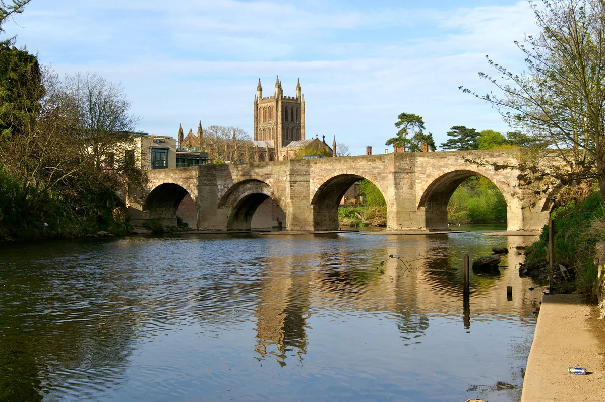
Hereford
Hereford — cathedral city and county town of Herefordshire, England.
Frequently asked questions
- Where is Caersws?
- Caersws is in Mid Wales, United Kingdom (postcode SY17 5AJ), in the parish of Caersws.
- Is Caersws free to visit?
- Yes, Caersws is free to enter.
- How do I get to Caersws?
- The nearest railway station is Caersws, about 0.9 km away. Drivers can navigate to postcode SY17 5AJ.