Reservoirs & lochs · North East England
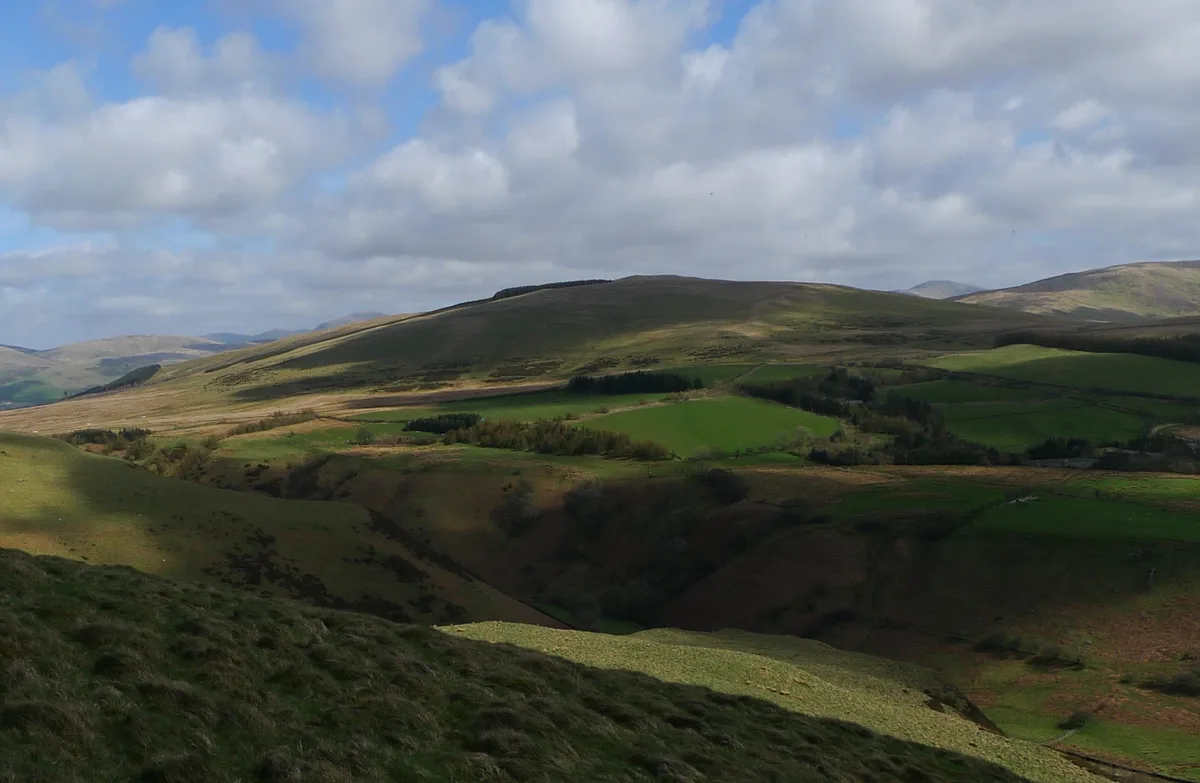
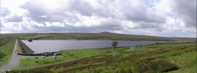
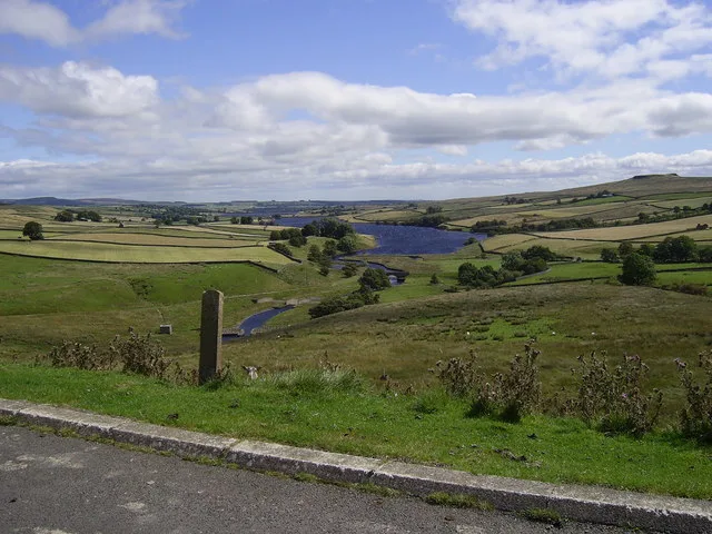
Meadley Reservoir
Meadley Reservoir — reservoir in Cumbria, England, UK.

Wikimedia Commons contributors — see linked file page for photographer and licence licence
Plan your visit
- Typical visit
- 1 h–2.5 h
- Nearest railway station
- Corkickle · 7.9 km
- Free entry
- Dog-friendly
About
Meadley Reservoir is a reservoir in North-East England, supplying water and increasingly opened up for sailing, walking and birdwatching. The site is a designated Site of Special Scientific Interest. It sits within the Whitehaven and Workington parliamentary constituency. The nearest railway station is Corkickle, about 7.9 km away. Postcode area CA23.
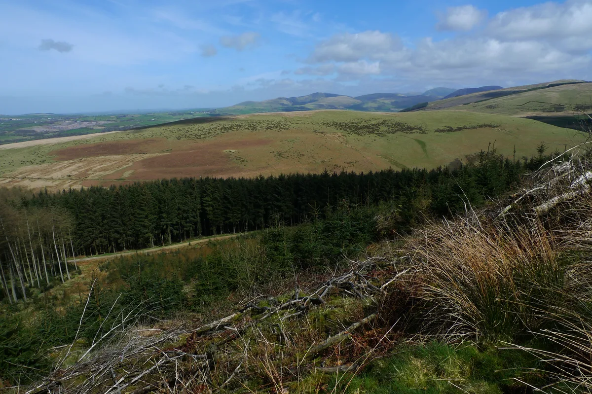
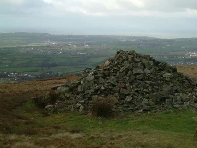
Photo gallery
Protected designations
- Site of Special Scientific Interest: River Derwent and Tributaries SSSI
- Site of Special Scientific Interest: River Ehen (Ennerdale Water to Keekle Confluence) SSSI
Designations sourced from Natural England open data under OGL v3.
Place summary
Meadley Reservoir is located in North-East England, within the parish of Ennerdale and Kinniside. It is designated as a Site of Special Scientific Interest (SSSI) for both the River Derwent and its tributaries, as well as the River Ehen from Ennerdale Water to the Keekle Confluence.
AI-generated from the structured facts on this page (operator, designation, listing, era). Not a substitute for visiting.
- Coordinates
- 54.5170, -3.4680
- District
- Cumberland
- Parish
- Ennerdale and Kinniside
- Postcode
- CA23 3ES
- Parliamentary constituency
- Whitehaven and Workington
- Nearest railway station
- Corkickle — 7.9 km
Sources
- wikidata: Q21037045 (CC0)
- commons: Meadley Reservoir - geograph.org.uk - 72809.jpg (CC BY-SA 4.0)
Other places nearby
Loading nearby places…
Nearby
 📷 3
📷 3Natural landmarks · North East England
Flat Fell
Flat Fell — mountain in United Kingdom.
 📷 3
📷 3Natural landmarks · North East England
Blakeley Raise
Blakeley Raise — mountain in United Kingdom.
 📷 3
📷 3Mountains & hills · North East England
Flat Fell
Flat Fell — Named summit at 272 m.
 📷 3
📷 3Stone circles · North East England
Blakeley Raise Stone Circle
Blakeley Raise Stone Circle — a stone circle in england-north-east, United Kingdom.
 📷 3
📷 3Mountains & hills · North East England
Dent
Dent — Named summit at 351.4 m.
 📷 3
📷 3Natural landmarks · North East England
Dent
Dent — mountain in the United Kingdom.
More places in this region
 Flagship📷 3
Reservoirs & lochs · North East England
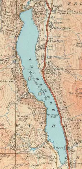
Thirlmere
Thirlmere — reservoir in the United Kingdom.
 📷 2
📷 2Reservoirs & lochs · North East England
Balderhead Reservoir
Balderhead Reservoir — reservoir in County Durham, England, UK.
 📷 3
📷 3Reservoirs & lochs · North East England
Blackton Reservoir
Blackton Reservoir — reservoir in County Durham, England, UK.
 📷 5
📷 5Reservoirs & lochs · North East England
Cogra Moss
Cogra Moss — reservoir in Cumbria, England, UK.
Frequently asked questions
- Where is Meadley Reservoir?
- Meadley Reservoir is in North-East England, United Kingdom (postcode CA23 3ES), in the parish of Ennerdale and Kinniside.
- Is Meadley Reservoir a protected site?
- Yes — Meadley Reservoir is part of the River Derwent and Tributaries SSSI Site of Special Scientific Interest and the River Ehen (Ennerdale Water to Keekle Confluence) SSSI Site of Special Scientific Interest.
- How do I get to Meadley Reservoir?
- The nearest railway station is Corkickle, about 7.9 km away. Drivers can navigate to postcode CA23 3ES.