Reservoirs & lochs · North West England
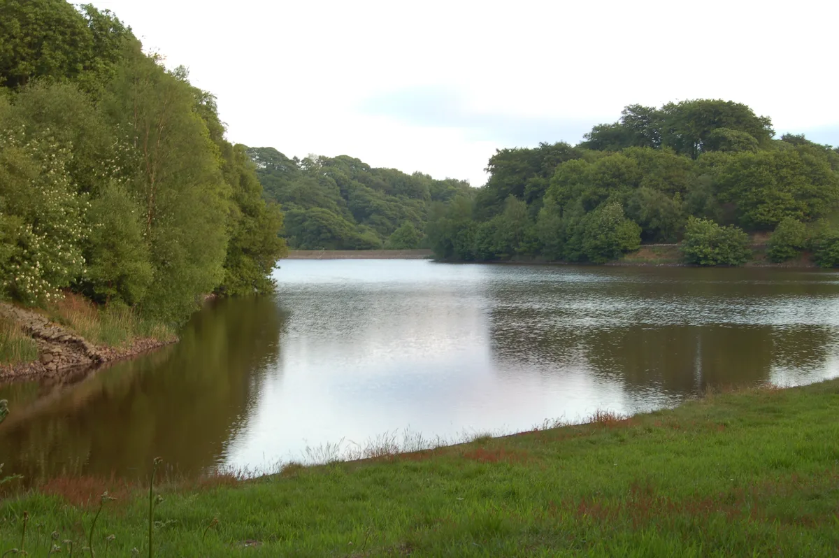
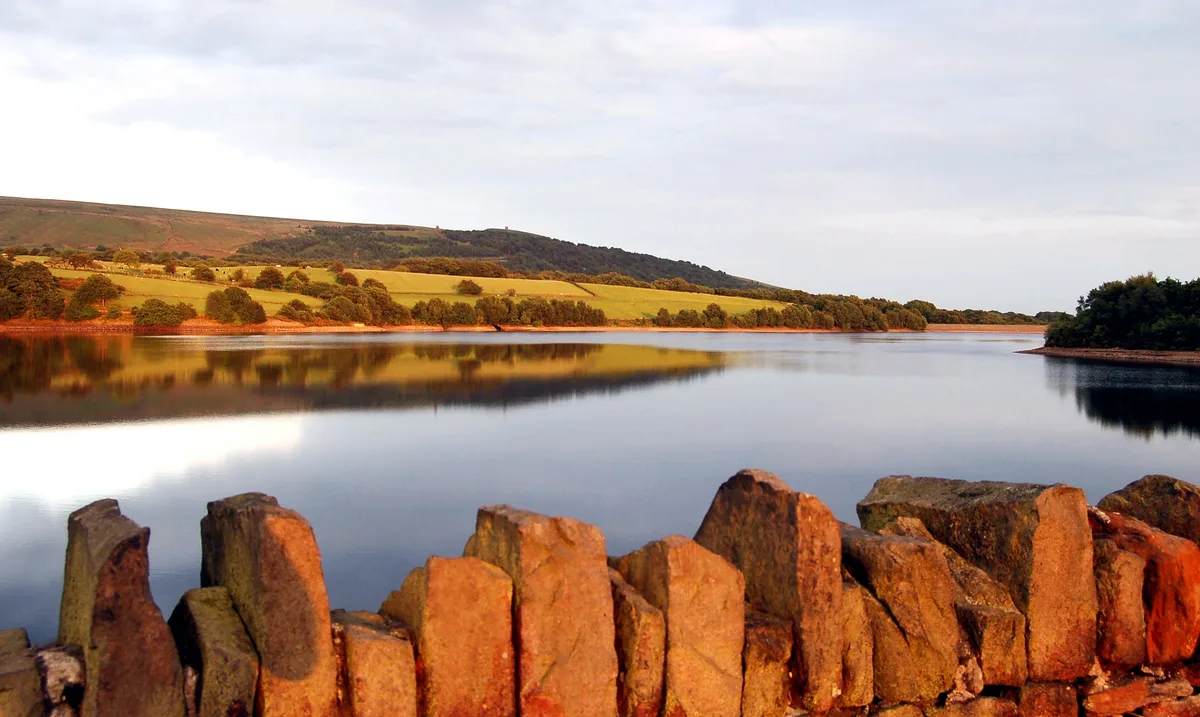
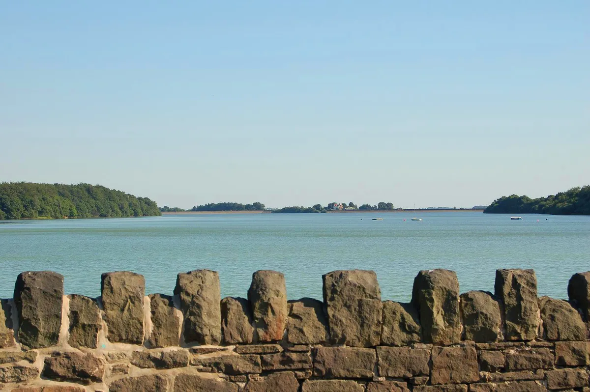
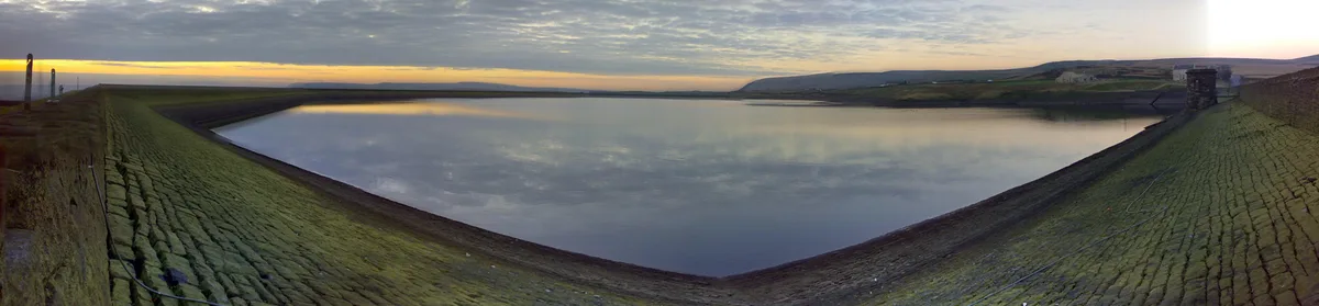
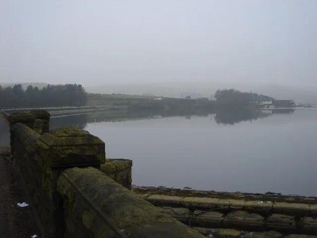
Anglezarke Reservoir
Anglezarke Reservoir — reservoir in Lancashire, England, UK.

Wikimedia Commons contributors — see linked file page for photographer and licence licence
Plan your visit
- Typical visit
- 1 h–2.5 h
- Nearest railway station
- Chorley · 3.1 km
- Free entry
- Dog-friendly
About
Anglezarke Reservoir is a reservoir in the United Kingdom. Managed by Liverpool Corporation Water Works. Part of Rivington Reservoirs. Wikidata describes it as: "reservoir in Lancashire, England, UK". Coordinates: 53.6417°, -2.5833°.
Photo gallery
Protected designations
- Site of Special Scientific Interest: West Pennine Moors SSSI
Designations sourced from Natural England open data under OGL v3.
From the Wikipedia article
Anglezarke Reservoir is the largest reservoir in the Rivington chain to the west of Anglezarke in Lancashire, England. Anglezarke Reservoir has three embankments: the Charnock Embankment, the longest, is 850 yards (777 m) long and 31 feet (9.45 m) high, the Knowsley Embankment is 240 yards (219.5 m) long and 45 feet (14 m) high and the Heapey Embankment is 280 feet (85.3 m) long and 32 feet (9.75 m) high. It is fed by the River Yarrow, which has been diverted from its original course which is now covered by the Knowsley Embankment. It served the city of Liverpool before its current status as a supply mainly for Wigan. The original `Rivington Pike Scheme' was undertaken by Thomas Hawksley between 1850 and 1857 for the Liverpool Corporation Waterworks. The scheme was to construct five reservoirs and a water treatment works at the south end of Lower Rivington with a 17-mile (27 km) pipeline to storage reservoirs at Prescot. Water from two higher level reservoirs, Rake Brook and Lower Roddlesworth, was carried south in `The Goit', a channel connecting them to the reservoirs. In November 1997, the reservoir was refilled after the 1997 summer heat wave. The water flow was so large that the reservoir required an emergency draw-down. With the water level at a temporary low, there was an opportunity to inspect the Heapey embankment on Moor Road, which had been leaking since the 1960s. The condition of the embankment and surrounding strata were such that a phased grouting operation was required to remedy the leakage. The reservoir was refilled, but was still leaking. After a second grouting and refill operation, the embankment was deemed leak-free. It appears that the original cause of the leak was an 18-inch cast iron draw-off pipe which supplied White Brook to the north of the embankment. The trench for the pipe was cut much deeper than needed, through a glacial meltwater channel. However, shutting the pipe off in the 1970s failed to remedy the situation. Waterman's…
Excerpt from Wikipedia under CC BY-SA 4.0. See the source article linked in Sources below.
- Coordinates
- 53.6417, -2.5833
- County
- Lancashire
- District
- Chorley
- Parish
- Heath Charnock
- Postcode
- PR6 9DW
- Parliamentary constituency
- Chorley
- Nearest railway station
- Chorley — 3.1 km
Sources
- wikidata: Q4763409 (CC0)
- wikipedia: Anglezarke Reservoir (CC BY-SA 4.0)
- commons: Anglezarke Reservoir - geograph.org.uk - 280267.jpg (CC BY-SA 4.0)
Other places nearby
Loading nearby places…
Nearby
 📷 3
📷 3Viewpoints · North West England
The Viewpoint
The Viewpoint is a viewpoint in the United Kingdom.
 📷 3
📷 3Reservoirs & lochs · North West England
High Bullough Reservoir
High Bullough Reservoir — reservoir in Lancashire, England, UK.
 📷 3
📷 3Historic houses · North West England
The Street
The Street — house in Heath Charnock, Lancashire, England, UK.
 Flagship📷 5
Reservoirs & lochs · North West England
Yarrow Reservoir
Yarrow Reservoir — reservoir in Lancashire, England, UK.
Campsites · North West England
Bibbys Farm Scout Camp
Bibbys Farm Scout Camp — a campsite in england north west.
 📷 3
📷 3Memorials & monuments · North West England
Wellington Bomber Crew memorial
Wellington Bomber Crew memorial is a memorial in the United Kingdom.
More places run by Liverpool Corporation Water Works
Flagship📷 5Reservoirs & lochs · North West England
Yarrow Reservoir
Yarrow Reservoir — reservoir in Lancashire, England, UK.
📷 3Reservoirs & lochs · North West England
High Bullough Reservoir
High Bullough Reservoir — reservoir in Lancashire, England, UK.
 📷 3
📷 3Reservoirs & lochs · North West England
Lower Rivington Reservoir
Lower Rivington Reservoir — reservoir in Lancashire, England, UK.
 📷 3
📷 3Reservoirs & lochs · North West England
Lower Roddlesworth Reservoir
Lower Roddlesworth Reservoir — reservoir in Lancashire, England, UK.
More places in this region
.jpg?width=1200) 📷 3
📷 3Reservoirs & lochs · North West England
Abbey Village Reservoir
Abbey Village Reservoir — reservoir in Lancashire, England, UK.
 📷 3
📷 3Reservoirs & lochs · North West England
Ashworth Moor Reservoir
Ashworth Moor Reservoir — reservoir in Greater Manchester, England, UK.
 📷 3
📷 3Reservoirs & lochs · North West England
Baystone Bank Reservoir
Baystone Bank Reservoir — reservoir in Cumbria, England, UK.
 📷 3
📷 3Reservoirs & lochs · North West England
Belmont Reservoir
Belmont Reservoir — reservoir in Lancashire, England.
Frequently asked questions
- Where is Anglezarke Reservoir?
- Anglezarke Reservoir is in Lancashire, North-West England, United Kingdom (postcode PR6 9DW), in the parish of Heath Charnock.
- Who runs Anglezarke Reservoir?
- Anglezarke Reservoir is operated by Liverpool Corporation Water Works.
- Is Anglezarke Reservoir a protected site?
- Yes — Anglezarke Reservoir is part of the West Pennine Moors SSSI Site of Special Scientific Interest.
- How do I get to Anglezarke Reservoir?
- The nearest railway station is Chorley, about 3.1 km away. Drivers can navigate to postcode PR6 9DW.