Reservoirs & lochs · North West England
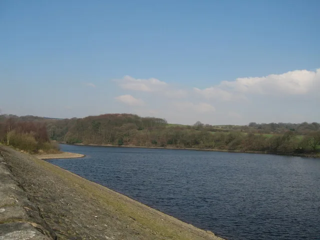
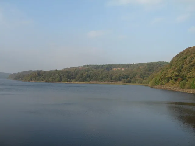
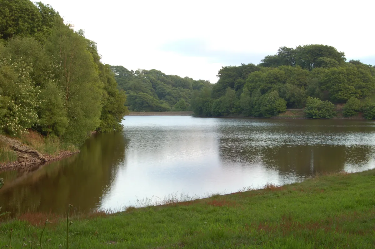
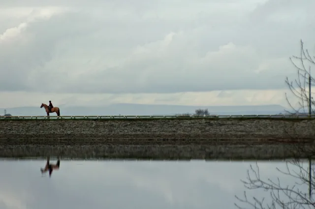
Yarrow Reservoir
Yarrow Reservoir — reservoir in Lancashire, England, UK.

Wikimedia Commons contributors — see linked file page for photographer and licence licence
Plan your visit
- Typical visit
- 1 h–2.5 h
- Nearest railway station
- Adlington · 3.5 km
- Free entry
- Dog-friendly
About
Yarrow Reservoir is a reservoir in the United Kingdom. It covers approximately 23 km². Managed by Liverpool Corporation Water Works. Part of Rivington Reservoirs. Wikidata describes it as: "reservoir in Lancashire, England, UK". Coordinates: 53.6361°, -2.5675°.
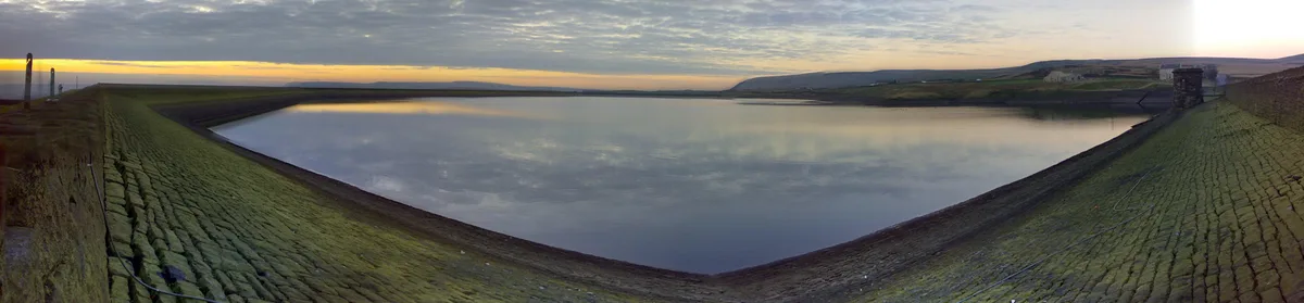
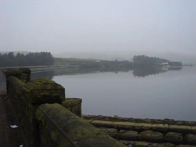
Photo gallery
Protected designations
- Site of Special Scientific Interest: West Pennine Moors SSSI
Designations sourced from Natural England open data under OGL v3.
From the Wikipedia article
Yarrow Reservoir – named after the River Yarrow – is a reservoir in the Rivington chain in Anglezarke, Lancashire, England, and has a storage capacity second to Anglezarke Reservoir. Construction of the reservoir, designed by Liverpool Borough Engineer Thomas Duncan, began in 1867. In 2002, several tons of fish were transported to this reservoir when the Upper Rivington reservoir was completely drained for essential maintenance work. The construction of Yarrow Reservoir was described in Wm. Fergusson Irvine's book A Short History of the Township of Rivington: A suitable site for the embankment having been selected, a trench was excavated on the centre line of the intended work and carried down to the solid rock right across the valley. This was filled with clay deposited in layers of 9 inches, and carefully puddled so as to produce a homogeneous watertight material. This clay wall, having reached the natural surface of the ground, was continued through the embankment, which was also built in thin layers thoroughly rammed and consolidated on both sides of the clay centre. Before commencing the erection of the embankment all peat and unsound material were stripped from the site. The inner or water slopes of the embankment have been built to an angle of 3 to 1, and outer slopes to an angle of 2 to 1. The impermeability of the dam depends upon the wall of puddled clay in the heart of the dam tied into the solid rock at the bottom and sides of the valley. The clay wall has been carried up to a batter on each side of 1 inch to every foot vertical, the thickness at the top being 6 feet. The inner slopes of the bank are protected by 15-inch pitching, consisting of the millstone grit of the neighbourhood, laid on a bed of broken stone. The outer slopes have been soiled and grassed over. The construction of the reservoir meant that a small hamlet called Alance was flooded, centred on the rebuilt Alance Bridge, and a large dwelling was demolished - Turner's Farm - which lives…
Excerpt from Wikipedia under CC BY-SA 4.0. See the source article linked in Sources below.
- Coordinates
- 53.6361, -2.5675
- County
- Lancashire
- District
- Chorley
- Parish
- Rivington
- Postcode
- BL6 7SH
- Parliamentary constituency
- Chorley
- Nearest railway station
- Adlington — 3.5 km
Sources
- wikidata: Q7336653 (CC0)
- wikipedia: Yarrow Reservoir (CC BY-SA 4.0)
- commons: Yarrowreservoir.jpg (CC BY-SA 4.0)
Other places nearby
Loading nearby places…
Nearby
Caravan parks · North West England
Wilcocks Farm Caravan Park
Wilcocks Farm Caravan Park — a caravan park in england north west.
 📷 3
📷 3Historic houses · North West England
The Street
The Street — house in Heath Charnock, Lancashire, England, UK.
 📷 3
📷 3Reservoirs & lochs · North West England
Upper Rivington Reservoir
Upper Rivington Reservoir — reservoir in Lancashire, England, UK.
 📷 3
📷 3Memorials & monuments · North West England
Wellington Bomber Crew memorial
Wellington Bomber Crew memorial is a memorial in the United Kingdom.
 📷 3
📷 3Archaeological sites · North West England
Lead Mines
Lead Mines — a archaeological in england-north-west, United Kingdom.
 📷 3
📷 3Viewpoints · North West England
The Viewpoint
The Viewpoint is a viewpoint in the United Kingdom.
More places run by Liverpool Corporation Water Works
 📷 3
📷 3Reservoirs & lochs · North West England
Anglezarke Reservoir
Anglezarke Reservoir — reservoir in Lancashire, England, UK.
 📷 3
📷 3Reservoirs & lochs · North West England
High Bullough Reservoir
High Bullough Reservoir — reservoir in Lancashire, England, UK.
 📷 3
📷 3Reservoirs & lochs · North West England
Lower Rivington Reservoir
Lower Rivington Reservoir — reservoir in Lancashire, England, UK.
 📷 3
📷 3Reservoirs & lochs · North West England
Lower Roddlesworth Reservoir
Lower Roddlesworth Reservoir — reservoir in Lancashire, England, UK.
More places in this region
.jpg?width=1200) 📷 3
📷 3Reservoirs & lochs · North West England
Abbey Village Reservoir
Abbey Village Reservoir — reservoir in Lancashire, England, UK.
 📷 3
📷 3Reservoirs & lochs · North West England
Ashworth Moor Reservoir
Ashworth Moor Reservoir — reservoir in Greater Manchester, England, UK.
 📷 3
📷 3Reservoirs & lochs · North West England
Baystone Bank Reservoir
Baystone Bank Reservoir — reservoir in Cumbria, England, UK.
 📷 3
📷 3Reservoirs & lochs · North West England
Belmont Reservoir
Belmont Reservoir — reservoir in Lancashire, England.
Frequently asked questions
- Where is Yarrow Reservoir?
- Yarrow Reservoir is in Lancashire, North-West England, United Kingdom (postcode BL6 7SH), in the parish of Rivington.
- Who runs Yarrow Reservoir?
- Yarrow Reservoir is operated by Liverpool Corporation Water Works.
- Is Yarrow Reservoir a protected site?
- Yes — Yarrow Reservoir is part of the West Pennine Moors SSSI Site of Special Scientific Interest.
- How do I get to Yarrow Reservoir?
- The nearest railway station is Adlington, about 3.5 km away. Drivers can navigate to postcode BL6 7SH.