Reservoirs & lochs · North West England
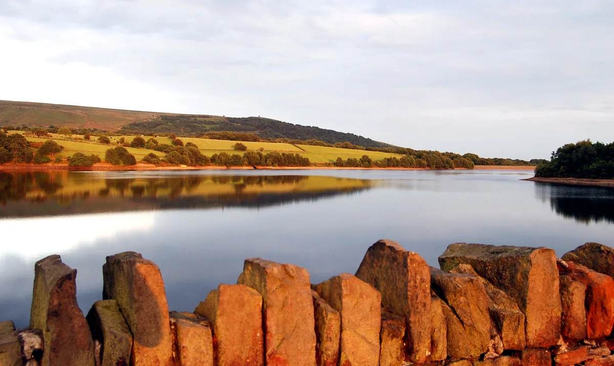
Rivington
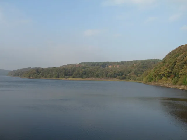
Rivington is a village and civil parish of the Borough of Chorley, Lancashire, England, occupying 2,538 acres (4.0 sq mi; 10.3 km2). It is about 6 miles (9.7 km) southeast of Chorley and about 8+1⁄2 m

David Dixon — CC BY-SA 2.0 via Wikimedia Commons licence
Plan your visit
- Typical visit
- 1 h–2.5 h
- Free entry
- Dog-friendly
About
Rivington is a village and civil parish of the Borough of Chorley, Lancashire, England, occupying 2,538 acres (4.0 sq mi; 10.3 km2). It is about 6 miles (9.7 km) southeast of Chorley and about 8+1⁄2 miles (13.7 km) northwest of Bolton. Rivington is a rural area consisting primarily of agricultural grazing land, moorland, with hill summits including Rivington Pike and Winter Hill within the West Pennine Moors. The area has a thriving tourist industry centred around reservoirs created to serve Liverpool in the Victorian era and Lever Park created as a public park by William Lever at the turn of the 20th century, with two converted barns, a replica of Liverpool Castle and open countryside. Rivington and Blackrod High School is located here. Rivington and its village had a population of 144 at the 2021 Census.
Photo gallery
From the Wikipedia article
Rivington is a village and civil parish of the Borough of Chorley, Lancashire, England, occupying 2,538 acres (4.0 sq mi; 10.3 km2). It is about 6 miles (9.7 km) southeast of Chorley and about 8+1⁄2 miles (13.7 km) northwest of Bolton. Rivington is a rural area consisting primarily of agricultural grazing land, moorland, with hill summits including Rivington Pike and Winter Hill within the West Pennine Moors. The area has a thriving tourist industry centred around reservoirs created to serve Liverpool in the Victorian era and Lever Park created as a public park by William Lever at the turn of the 20th century, with two converted barns, a replica of Liverpool Castle and open countryside. Rivington and Blackrod High School is located here. Rivington and its village had a population of 144 at the 2021 Census.
Excerpt from Wikipedia under CC BY-SA 4.0. See the source article linked in Sources below.
Background
History
A Neolithic or Bronze Age stone, with a cup and ring mark dating from between 2000 and 3000 BC, was found near the Lower Rivington Reservoir in 1999. It is possible that settlements have existed in the area around Rivington since the Bronze Age. In 2024 a neolithic axe head was found by a local man next to a footpath. It is possible that the name Coblowe on the eastern bank of the Lower Rivington Reservoir derives from the Old English hlaw, a hill, which denoted an ancient barrow or burial place. Evidence for the existence of a settlement here in Anglo-Saxon times is found in the Rivington and Coblowe names.
Sourced from Wikipedia under CC BY-SA 4.0.
- Coordinates
- 53.6255, -2.5664
- County
- Lancashire
- District
- Chorley
- Parish
- Rivington
- Postcode
- BL6 7SL
- Parliamentary constituency
- Chorley
Sources
- wikipedia: Rivington (CC BY-SA 4.0)
Other places nearby
Loading nearby places…
Nearby
 📷 4
📷 4Historic churches · North West England
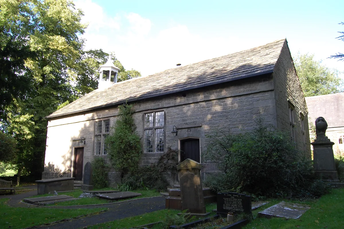
Rivington Unitarian Chapel
Rivington Unitarian Chapel — church in Rivington, Lancashire, England, UK.
 📷 3
📷 3Historic churches · North West England
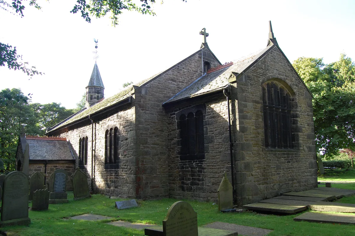
Rivington Church
Rivington Church — church in Rivington, Lancashire, England, UK.
 📷 3
📷 3Reservoirs & lochs · North West England
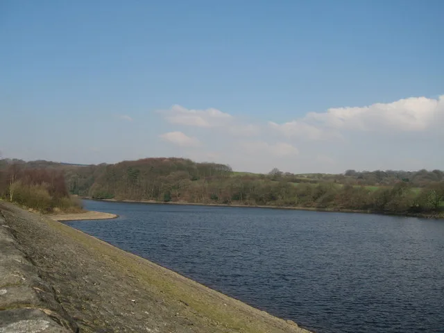
Upper Rivington Reservoir
Upper Rivington Reservoir — reservoir in Lancashire, England, UK.
 📷 3
📷 3Natural landmarks · North West England
Picnic Area near Go Ape
Picnic Area near Go Ape — a other in england-north-west, United Kingdom.
Caravan parks · North West England
Home Farm Caravan Site
Home Farm Caravan Site — a caravan park in england north west.
 📷 4
📷 4Historic houses · North West England
Great House Barn
Great House Barn — a Grade II*-listed historic house in england-north-west, United Kingdom.
More places in this region
 Flagship📷 5
Reservoirs & lochs · North West England
Yarrow Reservoir
Yarrow Reservoir — reservoir in Lancashire, England, UK.
.jpg?width=1200) 📷 3
📷 3Reservoirs & lochs · North West England
Abbey Village Reservoir
Abbey Village Reservoir — reservoir in Lancashire, England, UK.
 📷 3
📷 3Reservoirs & lochs · North West England
Anglezarke Reservoir
Anglezarke Reservoir — reservoir in Lancashire, England, UK.
 📷 3
📷 3Reservoirs & lochs · North West England
Ashworth Moor Reservoir
Ashworth Moor Reservoir — reservoir in Greater Manchester, England, UK.
Frequently asked questions
- Where is Rivington?
- Rivington is in North West England, in the United Kingdom — coordinates 53.6255°, -2.5664°.
- Is Rivington free to visit?
- Yes — admission to Rivington is free.