Museums · North West England
Borough of Chorley
The Borough of Chorley is a local government district with borough status in Lancashire, England. It is named after the town of Chorley, which is an unparished area. The borough extends to several vil

Stephen McKay — CC BY-SA 2.0 via Wikimedia Commons licence
Plan your visit
- Typical visit
- 1.5 h–3 h
- Best time of year
- Year-round
- Family-friendly
- Limited wheelchair access
About
The Borough of Chorley is a local government district with borough status in Lancashire, England. It is named after the town of Chorley, which is an unparished area. The borough extends to several villages and hamlets including Adlington, Buckshaw Village, Croston, Eccleston, Euxton and Whittle-le-Woods. The neighbouring districts are West Lancashire, South Ribble, Blackburn with Darwen, Bolton and Wigan.
Photo gallery
Heritage listing
{{ubl|From left to right|Top: Chorley town hall |Middle: Adlington war memorial and Eccleston village centre|Bottom: Whittle-le-Woods village centre and part of Buckshaw Village crossing the Chorley and South Ribble boundaries}}
From the Wikipedia article
The Borough of Chorley is a local government district with borough status in Lancashire, England. It is named after the town of Chorley, which is an unparished area. The borough extends to several villages and hamlets including Adlington, Buckshaw Village, Croston, Eccleston, Euxton and Whittle-le-Woods. The neighbouring districts are West Lancashire, South Ribble, Blackburn with Darwen, Bolton and Wigan.
Excerpt from Wikipedia under CC BY-SA 4.0. See the source article linked in Sources below.
Background
History
The town of Chorley had been governed by improvement commissioners from 1853. The commissioners were reconstituted as a local board in 1863. The board was in turn replaced in 1881 when the town was made a municipal borough. The modern district was created on 1 April 1974 under the Local Government Act 1972, covering the area of four former districts, which were all abolished at the same time: The new district was named Chorley, and the borough status previously held by the town was passed to the new district on the day that it came into being, allowing the chair of the council to take the title of mayor, continuing Chorley's series of mayors dating back to 1881.
Sourced from Wikipedia under CC BY-SA 4.0.
- Coordinates
- 53.6530, -2.6320
- County
- Lancashire
- District
- Chorley
- Parish
- Chorley, unparished area
- Postcode
- PR7 1BQ
- Parliamentary constituency
- Chorley
- Opening
- Tu,Th,Sa 09:00-16:00
Sources
- wikipedia: Borough of Chorley (CC BY-SA 4.0)
Other places nearby
Loading nearby places…
Nearby
.jpg?width=1200) 📷 3
📷 3Heritage railway stations · North West England
The Pattern of Life
The Pattern of Life — Public artwork (relief).
 📷 3
📷 3Theatres · North West England
Odeon Chorley
Odeon Chorley in England North West, United Kingdom.
 📷 4
📷 4Theatres · North West England
Chorley Theatre
Chorley Theatre is a theatre in the United Kingdom.
 📷 4
📷 4Memorials & monuments · North West England
Reverend Wilby
Reverend Wilby — a memorial in england-north-west, United Kingdom.
 📷 3
📷 3Historic churches · North West England
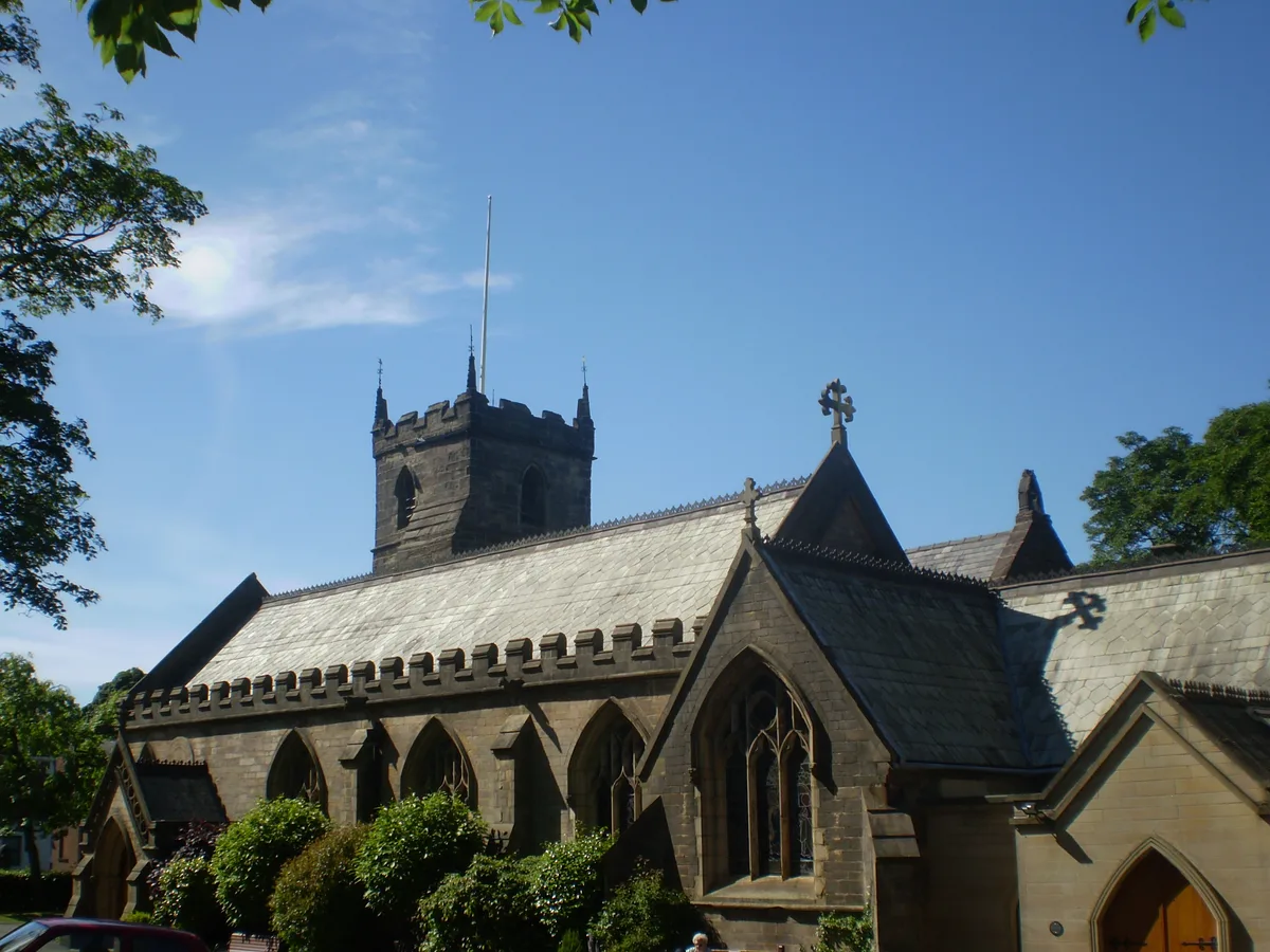
St Laurence's Church, Chorley
St Laurence's Church, Chorley — church in Chorley, Lancashire, England, UK.
📷 3Memorials & monuments · North West England
"Russ" Walker
"Russ" Walker — a memorial in england-north-west, United Kingdom.
More museums in this region
 📷 3
📷 3Museums · North West England
Abbot Hall Art Gallery
Abbot Hall Art Gallery — Grade I listed art museum in Kendal, United Kingdom.
 📷 4
📷 4Museums · North West England
Bancroft Shed
Bancroft Shed — mill museum in Barnoldswick, Pendle, Lancashire, England, UK.
 📷 3
📷 3Museums · North West England
Blackburn Museum and Art Gallery
Blackburn Museum and Art Gallery — museum in Lancashire, England.
 📷 5
📷 5Museums · North West England
Bolton Steam Museum
Bolton Steam Museum — industrial museum in England, United Kingdom.
Frequently asked questions
- Where is Borough of Chorley?
- Borough of Chorley is in North West England, in the United Kingdom — coordinates 53.6530°, -2.6320°.
- Is Borough of Chorley wheelchair accessible?
- Partially — OpenStreetMap notes limited wheelchair access at Borough of Chorley. Check ahead for specific facilities.
- What are the opening hours for Borough of Chorley?
- OpenStreetMap records opening hours as: Tu,Th,Sa 09:00-16:00. Check the official site to confirm seasonal changes.