Towns & cities · South Wales
Winford
Winford — village and civil parish in North Somerset, Somerset, United Kingdom.

Wikimedia Commons contributors — see linked file page for photographer and licence licence
Plan your visit
- Typical visit
- 3 h–6 h
- Nearest railway station
- Parson Street · 6.6 km
- Free entry
- Family-friendly
- Dog-friendly
About
Winford is a town, city, village or settlement in the United Kingdom. Recent population estimates put it at around 1,955 people. Address: BS40. Wikidata describes it as: "village and civil parish in North Somerset, Somerset, United Kingdom". Coordinates: 51.3830°, -2.6603°.
Photo gallery
Protected designations
- Site of Special Scientific Interest: Severn Estuary SSSI
Designations sourced from Natural England open data under OGL v3.
From the Wikipedia article
Winford is a village and civil parish within the Chew Valley, Somerset, England. It is within the unitary authority of North Somerset about 8 miles (12.9 km) south of Bristol. The parish has a population of 2,153. The parish includes the village of Felton which is close to the A38, Bristol International Airport and Hartcliff Rocks Quarry and Lulsgate Quarry Sites of Special Scientific Interest. On Felton Common, between the village and the airport, is the church of St Katharine and the Noble Army of Martyrs, which was built around 1868, and the remains of a windmill which has been converted into a private house. The small village of Regil also falls within the parish, although it has its own small church dedicated to St James, one pub, a village hall and several farms. Winford village lies on the route of the Monarch's Way long-distance footpath and has one pub, a village post office and several farms in the surrounding area.
Excerpt from Wikipedia under CC BY-SA 4.0. See the source article linked in Sources below.
Background
History
Winford was listed in the Domesday Book of 1086 as Wenfre, meaning 'The carriage journey' from the Old English woenfaru. The term journey can also mean route. The parish was part of the hundred of Hartcliffe.
Sourced from Wikipedia under CC BY-SA 4.0.
- Coordinates
- 51.3830, -2.6603
- District
- North Somerset
- Parish
- Winford
- Postcode
- BS40
- Parliamentary constituency
- North Somerset
- Population
- 1,955
- Nearest railway station
- Parson Street — 6.6 km
- Official site
- www.n-somerset.gov.uk
Sources
- wikidata: Q795358 (CC0)
- wikipedia: Winford (CC BY-SA 4.0)
- commons: Winfordchurch.jpg (CC BY-SA 4.0)
Other places nearby
Loading nearby places…
Nearby
 📷 3
📷 3Historic churches · South Wales
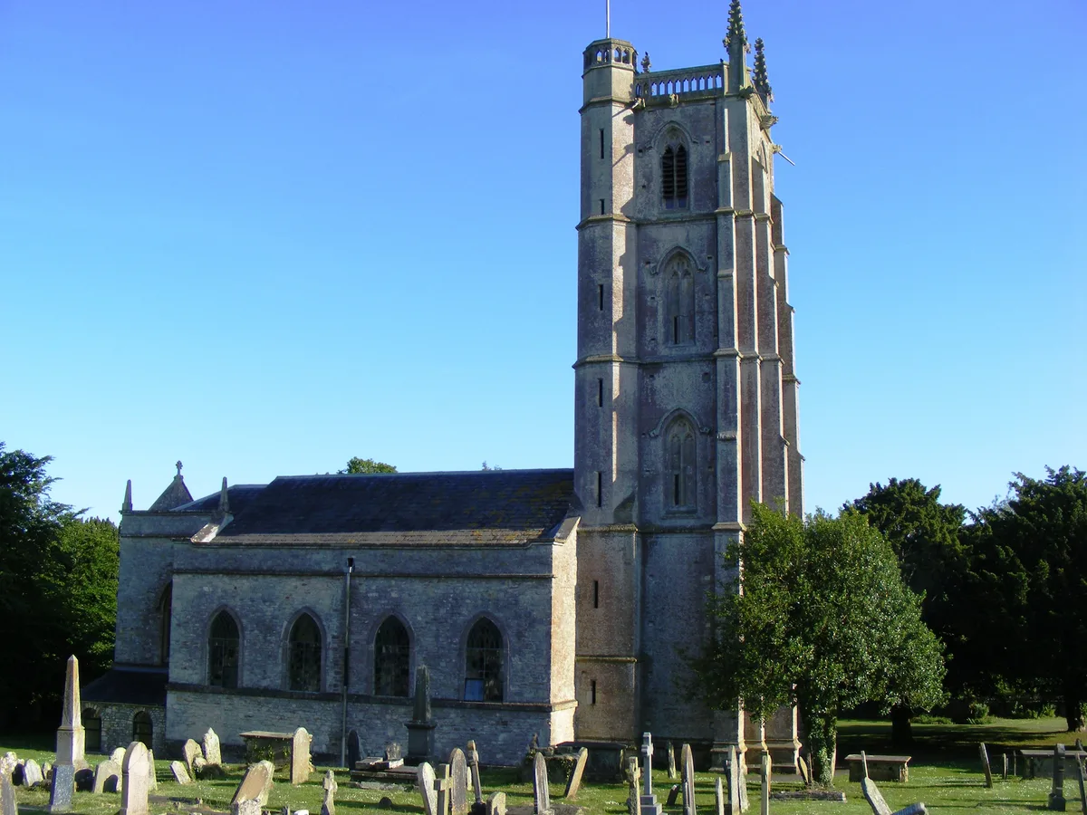
Church of St Mary and St Peter, Winford
Church of St Mary and St Peter, Winford — church in Winford, Somerset, England, UK.
 📷 3
📷 3Mills · South Wales
Littleton gunpowder works
Littleton gunpowder works — powder mill in Winford, Somerset, England, UK.
 📷 4
📷 4Viewpoints · South Wales
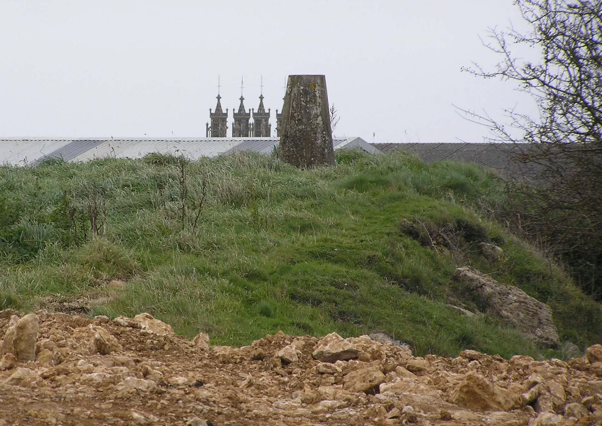
Hartcliff Rocks
Hartcliff Rocks is a viewpoint in the United Kingdom.
 📷 3
📷 3Mountains & hills · South Wales
Dundry Hill
Dundry Hill — Named summit at 233 m.
 📷 3
📷 3Reservoirs & lochs · South Wales
Barrow Gurney Reservoir 1
Barrow Gurney Reservoir 1 — reservoir in Somerset, United Kingdom.
 📷 3
📷 3Reservoirs & lochs · South Wales
Barrow Gurney Tank 2
Barrow Gurney Tank 2 — reservoir in Somerset, United Kingdom.
More towns in this region
 📷 4
📷 4Towns & cities · South Wales
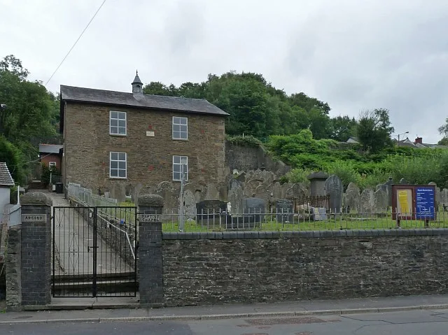
Argoed
Argoed — village and community in Caerphilly County Borough, Wales.
 Flagship📷 3
Towns & cities · South Wales
Betws
Betws — village and community in Carmarthenshire, Wales.
 Flagship📷 5
Towns & cities · South Wales
Caerleon
Caerleon — village and community in Newport, Wales, UK.
 Flagship📷 3
Towns & cities · South Wales
Camrose
Camrose — village and community in Pembrokeshire, Wales, UK.
Frequently asked questions
- Where is Winford?
- Winford is in South Wales, United Kingdom (postcode BS40), in the parish of Winford.
- Is Winford a protected site?
- Yes — Winford is part of the Severn Estuary SSSI Site of Special Scientific Interest.
- Is Winford free to visit?
- Yes, Winford is free to enter.
- How do I get to Winford?
- The nearest railway station is Parson Street, about 6.6 km away. Drivers can navigate to postcode BS40.