Towns & cities · East Midlands
Quarnford
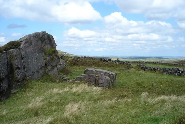
Quarnford — village and civil parish in Staffordshire, UK.

Eirian Evans — CC BY-SA 2.0 via Wikimedia Commons licence
Plan your visit
- Typical visit
- 3 h–6 h
- Nearest railway station
- Buxton Miniature Railway · 6.7 km
- Free entry
- Family-friendly
- Dog-friendly
About
Quarnford is a town, city, village or settlement in the United Kingdom. Recent population estimates put it at around 234 people. Wikidata describes it as: "village and civil parish in Staffordshire, UK". Coordinates: 53.2028°, -1.9631°.
Photo gallery
Protected designations
- Site of Special Scientific Interest: Leek Moors SSSI
Designations sourced from Natural England open data under OGL v3.
From the Wikipedia article
Quarnford is a village and civil parish in the Staffordshire Moorlands district of Staffordshire, England. According to the 2001 census it had a population of 244, reducing marginally to 242 at the 2011 census. The village is in the Peak District, between Buxton and Leek. The village (as opposed to the parish) is known by the name "Flash" and is the highest village in Britain, being some 1518 ft above sea level. The local church of St. Paul's was built starting in 1743, its graveyard contains graves dating back to at least 1791. Although the village historically was almost an outpost due to its relative isolation and small economic significance, it is situated in some of the most picturesque and unspoilt areas of the English countryside.
Excerpt from Wikipedia under CC BY-SA 4.0. See the source article linked in Sources below.
- Coordinates
- 53.2028, -1.9631
- County
- Staffordshire
- District
- Staffordshire Moorlands
- Parish
- Quarnford
- Postcode
- SK17 0SW
- Parliamentary constituency
- Staffordshire Moorlands
- Population
- 234
- Nearest railway station
- Buxton Miniature Railway — 6.7 km
Sources
Other places nearby
Loading nearby places…
Nearby
 📷 3
📷 3Mountains & hills · East Midlands
Oliver Hill
Oliver Hill — Named summit at 513 m.
 📷 3
📷 3Mountains & hills · East Midlands
Cheeks Hill
Cheeks Hill — Named summit at 520 m.
 📷 5
📷 5Wildlife reserves · East Midlands
Black Brook
Black Brook — nature reserve in Staffordshire, UK.
 📷 3
📷 3Natural landmarks · East Midlands
Gib Torr Rocks
Gib Torr Rocks — a other in england-east-midlands, United Kingdom.
_-_geograph.org.uk_-_1518946.jpg?width=1200) 📷 3
📷 3Memorials & monuments · East Midlands
Danebower Colliery ventilation chimney
Danebower Colliery ventilation chimney is a memorial in the United Kingdom.
Campsites · West Midlands
Gradbach Scout Camp
Gradbach Scout Camp — a campsite in england west midlands.
More towns in this region
 Flagship📷 3
Towns & cities · East Midlands
Aldborough
Aldborough — village in Norfolk, England, UK.
 Flagship📷 4
Towns & cities · East Midlands
Alderford
Alderford — village and civil parish in Norfolk, UK.
 Flagship📷 5
Towns & cities · East Midlands
Ashmanhaugh
Ashmanhaugh — village in Norfolk, England, UK.
 Flagship📷 3
Towns & cities · East Midlands
Attlebridge
Attlebridge — a village located in Broadland, United Kingdom.
Frequently asked questions
- Where is Quarnford?
- Quarnford is in Staffordshire, the East Midlands, United Kingdom (postcode SK17 0SW), in the parish of Quarnford.
- Is Quarnford a protected site?
- Yes — Quarnford is part of the Leek Moors SSSI Site of Special Scientific Interest.
- Is Quarnford free to visit?
- Yes, Quarnford is free to enter.
- How do I get to Quarnford?
- The nearest railway station is Buxton Miniature Railway, about 6.7 km away. Drivers can navigate to postcode SK17 0SW.