Castles · North Wales
Oswestry
Oswestry ( OZ-wəss-tree; Welsh: Croesoswallt) is a market town, civil parish and historic railway town in Shropshire, England, close to the Welsh border. It is at the junction of the A5, A483 and A495

habiloid — CC BY-SA 2.0 via Wikimedia Commons licence
Plan your visit
- Typical visit
- 1.5 h–3 h
- Family-friendly
- Limited wheelchair access
About
Oswestry ( OZ-wəss-tree; Welsh: Croesoswallt) is a market town, civil parish and historic railway town in Shropshire, England, close to the Welsh border. It is at the junction of the A5, A483 and A495 roads. The town was the administrative headquarters of the Borough of Oswestry until that was abolished in 2009. At the 2021 Census, the population of Oswestry was 17,509. The town is five miles (8.0 km) from the Welsh border and has a mixed English and Welsh heritage. Oswestry is the largest settlement within the Oswestry Uplands, a designated natural area and national character area.
Photo gallery
From the Wikipedia article
Oswestry ( OZ-wəss-tree; Welsh: Croesoswallt) is a market town, civil parish and historic railway town in Shropshire, England, close to the Welsh border. It is at the junction of the A5, A483 and A495 roads. The town was the administrative headquarters of the Borough of Oswestry until that was abolished in 2009. At the 2021 Census, the population of Oswestry was 17,509. The town is five miles (8.0 km) from the Welsh border and has a mixed English and Welsh heritage. Oswestry is the largest settlement within the Oswestry Uplands, a designated natural area and national character area.
Excerpt from Wikipedia under CC BY-SA 4.0. See the source article linked in Sources below.
Background
History
The railway station, once on the main line of the Cambrian Railways, was closed in 1966 as a consequence of the Beeching cuts. Opened in 1840, the section from Whitchurch to Welshpool (Buttington Junction), via Ellesmere, Whittington, Oswestry and Llanymynech, closed on 18 January 1965, leaving only a short branch line from to continue to serve Oswestry – but only until 7 November 1966. This former Great Western Railway (GWR) branch had once run into a separate GWR Oswestry terminus, but this has long since disappeared and the land redeveloped as a bus station and supermarket. Trains were re-routed into the main Cambrian station from 7 July 1924. The main building of the Cambrian station is…
Description
The Domesday Book of 1086 records the castle being built by Rainald, a Norman Sheriff of Shropshire: . Alan fitz Flaad (died c.1120), a Breton knight, was granted the feudal barony of Oswestry by King Henry I who, soon after his accession, invited Alan to England with other Breton friends, and gave him forfeited lands in Norfolk and Shropshire, including some which had previously belonged to Ernulf de Hesdin (killed at Antioch while on crusade) and Robert of Bellême. Alan's duties to the Crown included supervision of the Welsh border. He also founded Sporle Priory in Norfolk. He married Ada or Adeline, daughter of Ernulf de Hesdin. Their eldest son William FitzAlan was made High Sheriff of…
Sourced from Wikipedia under CC BY-SA 4.0.
- Coordinates
- 52.8598, -3.0538
- District
- Shropshire
- Parish
- Oswestry
- Postcode
- SY11 1PZ
- Parliamentary constituency
- North Shropshire
- Official site
- www.attfieldtheatre.co.uk
Sources
- wikipedia: Oswestry (CC BY-SA 4.0)
Other places nearby
Loading nearby places…
Nearby
 📷 3
📷 3Theatres · North Wales
Attfield Theatre
Attfield Theatre is a theatre in the United Kingdom.
📷 3Museums · North Wales
Oswestry Town Museum
Oswestry Town Museum — a museum in wales-north, United Kingdom.
 📷 3
📷 3Castles · North Wales
Oswestry Castle
Oswestry Castle — a castle in wales-north, United Kingdom.
 📷 5
📷 5Theatres · North Wales
Kinokulture
Kinokulture — a cinema heritage in wales-north, United Kingdom.
 📷 3
📷 3Museums · North Wales
Cambrian Railways Museum
Cambrian Railways Museum — a museum in wales-north, United Kingdom.
 📷 3
📷 3Chapels · North Wales
Hermon Chapel
Hermon Chapel — chapel in Oswestry Civil Parish, Shropshire, England, UK.
More castles in this region
 📷 5
📷 5Castles · North Wales
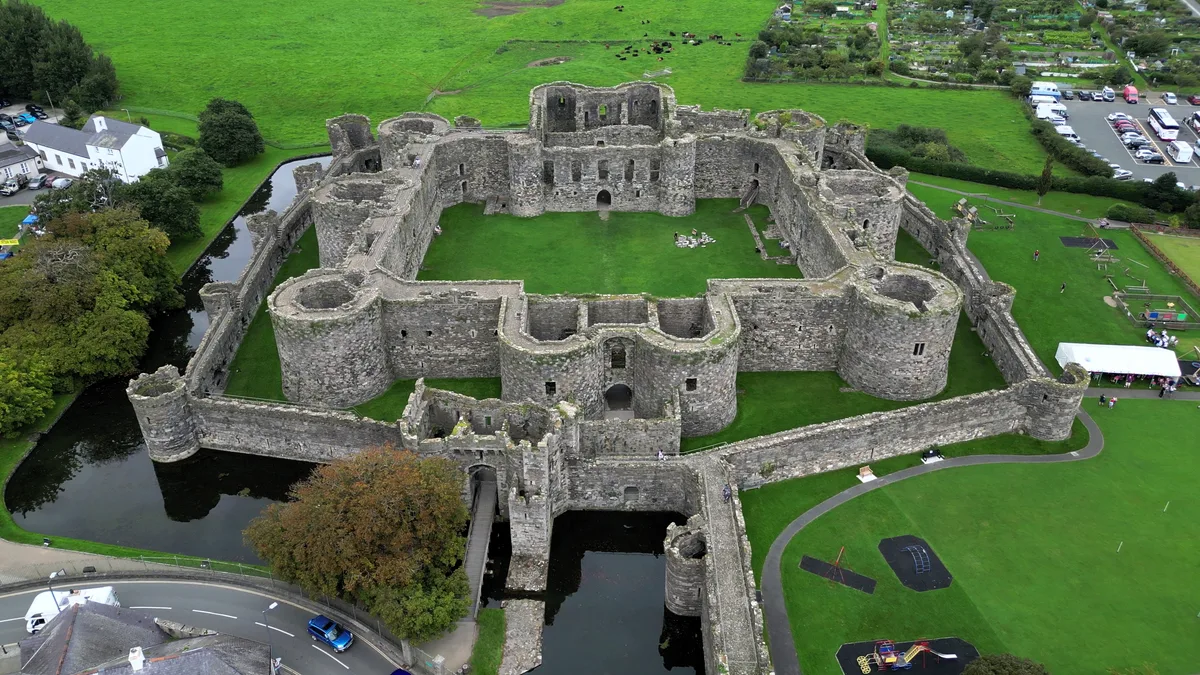
Beaumaris Castle
Beaumaris Castle — castle in Beaumaris, Anglesey, Wales.
 📷 3
📷 3Castles · North Wales
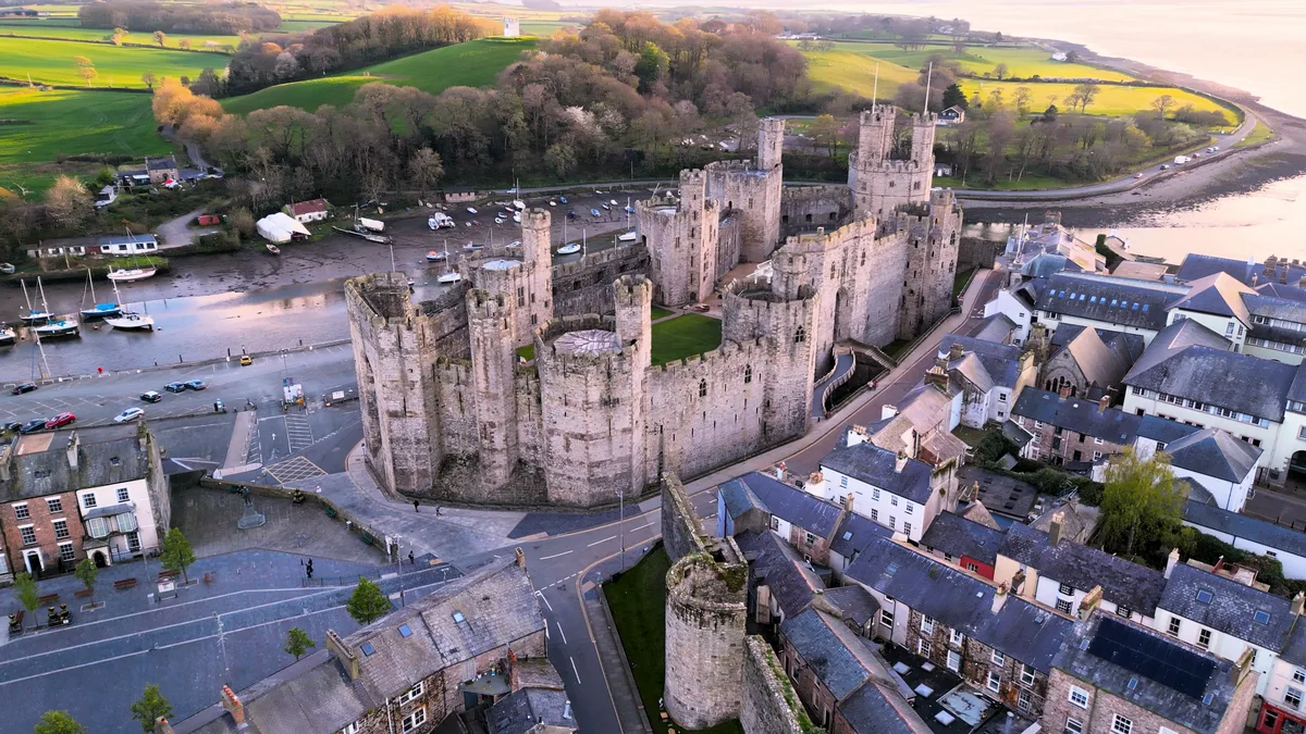
Caernarfon Castle
Caernarfon Castle — castle in Caernarfon, North Wales.
 📷 4
📷 4Castles · North Wales
Chirk Castle
Chirk Castle — medieval fortress in Wrexham County Borough, Wales.
 📷 5
📷 5Castles · North Wales
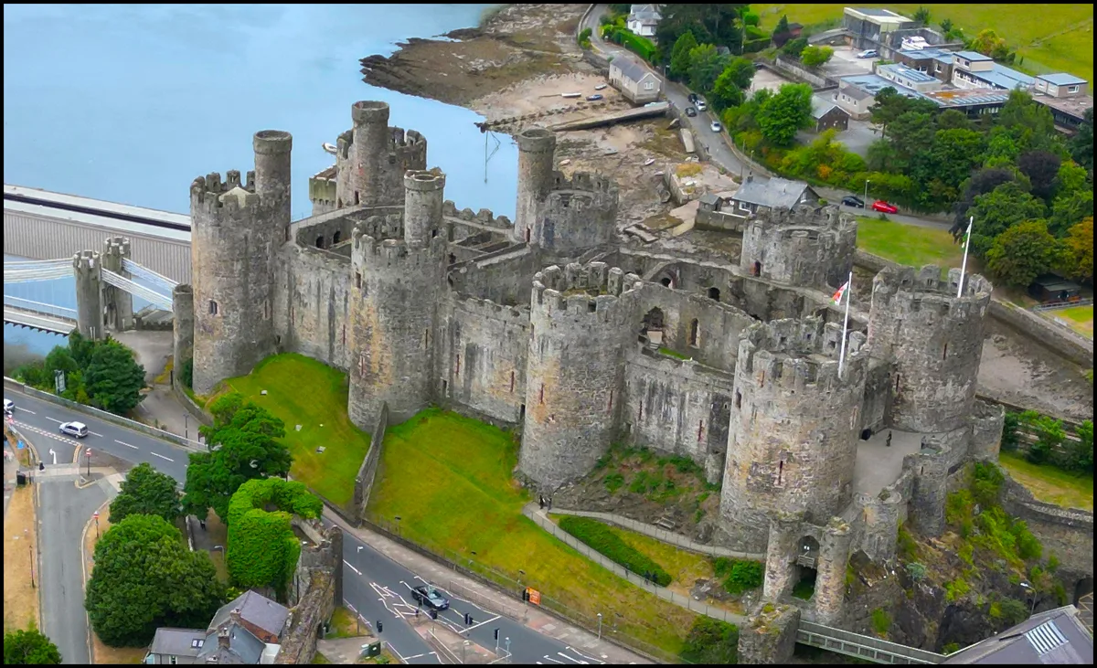
Conwy Castle
Conwy Castle — castle in Conwy, North Wales.
Frequently asked questions
- Where is Oswestry?
- Oswestry is in North Wales, United Kingdom (postcode SY11 1PZ), in the parish of Oswestry.
- Does Oswestry charge admission?
- Oswestry typically charges admission. Check the official site for current ticket prices and opening hours.
- How do I get to Oswestry?
- Drivers can navigate to postcode SY11 1PZ. It sits within the North Shropshire parliamentary constituency.