Towns & cities · North Wales
Llanyblodwel
Llanyblodwel — village and civil parish in Shropshire, United Kingdom.

Wikimedia Commons contributors — see linked file page for photographer and licence licence
Plan your visit
- Typical visit
- 3 h–6 h
- Nearest railway station
- Penygarreg Lane Halt · 3.8 km
- Free entry
- Family-friendly
- Dog-friendly
About
Llanyblodwel is a town, city, village or settlement in the United Kingdom. Recent population estimates put it at around 755 people. Wikidata describes it as: "village and civil parish in Shropshire, United Kingdom". Coordinates: 52.7979°, -3.1264°.
Photo gallery
From the Wikipedia article
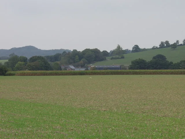
Llanyblodwel is a village and civil parish in Shropshire, England; the spelling "Llanyblodwell" was commonly used in the past, and the village was sometimes simply referred to as "Blodwel". The population of the civil parish at the 2011 census was 767. It lies 7 miles (11 km) west of the nearest town, Oswestry, in the valley of the River Tanat. Simon Jenkins, in his guide to English churches says of Llanyblodwel that "the Welsh Marches are seldom so lovely as where the River Tanat crosses the border through the steep wooded valleys west of Oswestry." The parish had a population of 817 at the time of the 2001 census. It was formerly in the Llanyblodwel and Pant ward of the borough of Oswestry. The village is located in a scenic rural area, with attractive views of the Welsh hills across the border. There were formerly several limestone quarries around Llanyblodwel, and limited quarrying still takes place.
Excerpt from Wikipedia under CC BY-SA 4.0. See the source article linked in Sources below.
Background
Architecture
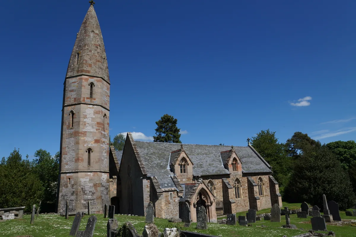
In the centre of the village is a listed narrow stone bridge over the Tanat, built in 1710. The grade I listed parish church of St Michael the Archangel was heavily rebuilt in the mid 19th century to designs by its then-vicar, the Rev. John Parker. The design has been referred to in the Pevsner Architectural Guides as "bizarre", but "unforgettable", particularly the tower, which was apparently modelled on that of Freiburg Minster. On the other hand, Jenkins describes the church as having been built "for strength on a difficult site" and acknowledging that this was in no sense a scholarly work but "...hobby architecture, a Gothic Portmeirion." The interior is even more unconventional, with…
Sourced from Wikipedia under CC BY-SA 4.0.
- Coordinates
- 52.7979, -3.1264
- District
- Shropshire
- Parish
- Llanyblodwel
- Postcode
- SY10 8NQ
- Parliamentary constituency
- North Shropshire
- Population
- 755
- Nearest railway station
- Penygarreg Lane Halt — 3.8 km
Sources
- wikidata: Q762540 (CC0)
- wikipedia: Llanyblodwel (CC BY-SA 4.0)
- commons: Horseshoe Inn Llanyblodwell - geograph.org.uk - 1802407.jpg (CC BY-SA 4.0)
Other places nearby
Loading nearby places…
Nearby
 📷 3
📷 3Historic bridges · North Wales
Llanyblodwel Bridge
Llanyblodwel Bridge — a Grade II*-listed bridge in wales-north, United Kingdom.
 📷 5
📷 5Historic churches · North Wales
St Michael the Archangel, Llanyblodwel
St Michael the Archangel, Llanyblodwel — Grade I listed church in Shropshire, England, UK.
 📷 3
📷 3Castles · North Wales
Carreghofa Castle
Carreghofa Castle — castle formerly in Carreghofa, Powys, Wales.
Caravan parks · North Wales
Tanat Caravan Park
Tanat Caravan Park — a caravan park in wales north.
 📷 3
📷 3Museums · North Wales
Tanat Valley Light Railway Museum
Tanat Valley Light Railway Museum — a museum in wales-north, United Kingdom.
 📷 5
📷 5Historic bridges · North Wales
Bridge Over Tanat Feeder to Ne of Carreghofa Mill
Bridge Over Tanat Feeder to Ne of Carreghofa Mill — Grade II listed building-listed bridge in wales-north, United Kingdom.
More towns in this region
 📷 5
📷 5Towns & cities · North Wales
Bangor
Bangor — city in Gwynedd, Wales.
 Flagship📷 3
Towns & cities · North Wales
Beddgelert
Beddgelert — village and community in Gwynedd, Wales.
 Flagship📷 5
Towns & cities · North Wales
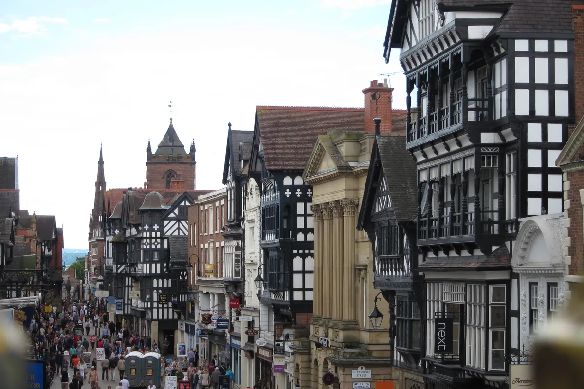
Chester
Chester — city in Cheshire, England.
 Flagship📷 3
Towns & cities · North Wales
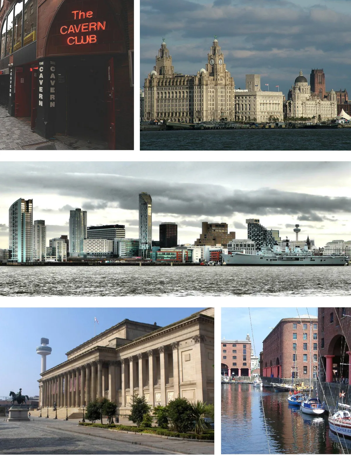
Liverpool
Liverpool — city in Merseyside, England, United Kingdom.
Frequently asked questions
- Where is Llanyblodwel?
- Llanyblodwel is in North Wales, United Kingdom (postcode SY10 8NQ), in the parish of Llanyblodwel.
- Is Llanyblodwel free to visit?
- Yes, Llanyblodwel is free to enter.
- How do I get to Llanyblodwel?
- The nearest railway station is Penygarreg Lane Halt, about 3.8 km away. Drivers can navigate to postcode SY10 8NQ.