Towns & cities · West Midlands
Mellor
Also known as: Mellor, Manceinion Fwyaf
Mellor — village in Greater Manchester, UK.

Wikimedia Commons contributors — see linked file page for photographer and licence licence
Plan your visit
- Typical visit
- 3 h–6 h
- Nearest railway station
- Marple · 1.9 km
- Free entry
- Family-friendly
- Dog-friendly
About
Mellor is a town, city, village or settlement in the United Kingdom. Recent population estimates put it at around 2,394 people. Address: SK6. Wikidata describes it as: "village in Greater Manchester, UK". Coordinates: 53.3969°, -2.0285°.
Photo gallery
From the Wikipedia article
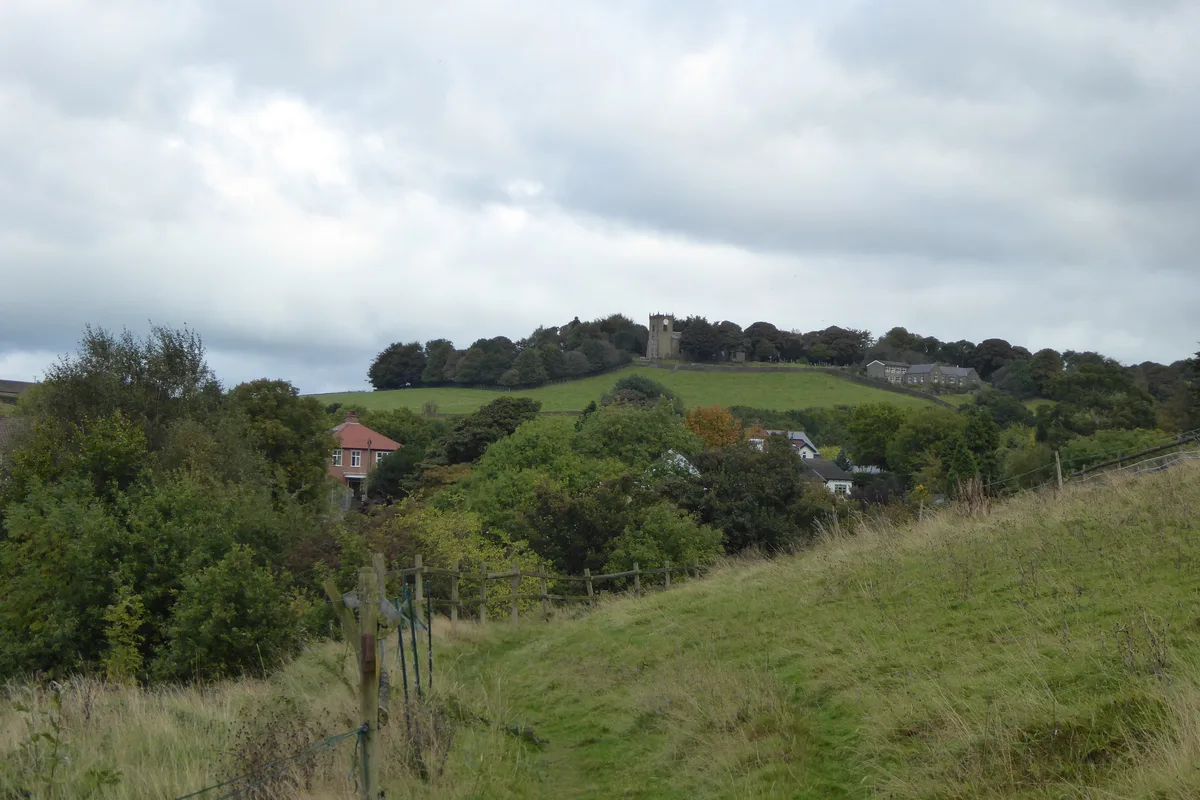
Mellor is a village in the Stockport district, in Greater Manchester, England; it lies between Marple Bridge and New Mills in Derbyshire. It was a civil parish in the county of Derbyshire until 1936, when it was transferred to Cheshire. In 1974, it became part of the Metropolitan Borough of Stockport, in Greater Manchester.
Excerpt from Wikipedia under CC BY-SA 4.0. See the source article linked in Sources below.
Background
History
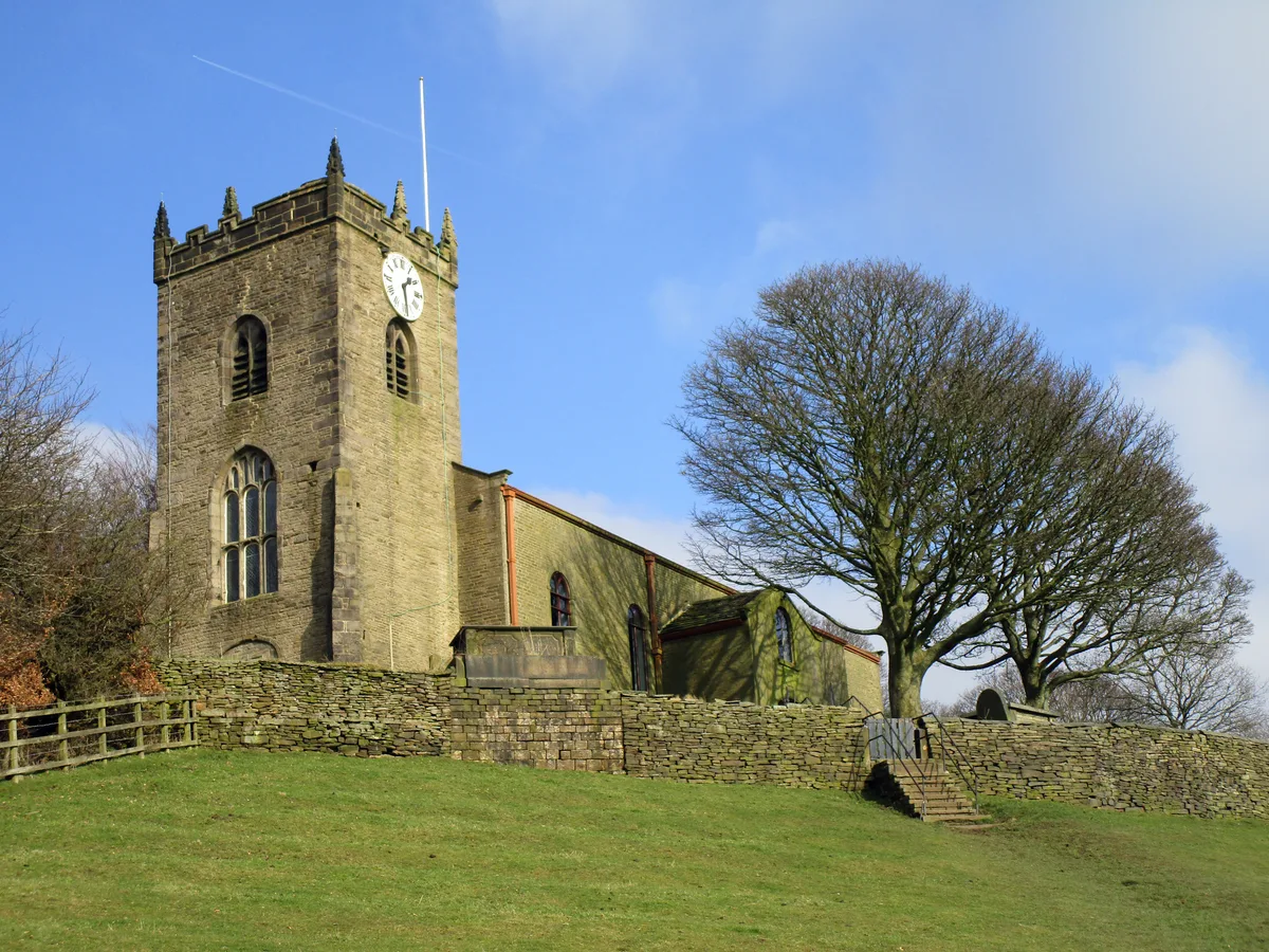
The name Mellor does not appear in the Norman-era Domesday Book, although the neighbouring settlement of Ludworth (recorded as Lodeuorde) is listed. It is possible that Ludworth originally included Mellor and that they split into two distinct areas at a later date. The Saxons built a church at the southernmost end of the Iron Age settlement at some point in the 7th or 8th centuries. The church was subsequently destroyed and rebuilt, possibly several times. St. Thomas' Church has the oldest known wooden pulpit in Britain, possibly the world. Dating from the reign of Edward II (1307–1327), it is octagonal and carved from a single piece of wood. The church also has a 12th-century font.…
Sourced from Wikipedia under CC BY-SA 4.0.
- Coordinates
- 53.3969, -2.0285
- District
- Stockport
- Parish
- Stockport, unparished area
- Postcode
- SK6
- Parliamentary constituency
- Hazel Grove
- Population
- 2,394
- Nearest railway station
- Marple — 1.9 km
Sources
- wikidata: Q683822 (CC0)
- wikipedia: Mellor, Greater Manchester (CC BY-SA 4.0)
- commons: View of Mellor 2008.jpg (CC BY-SA 4.0)
Other places nearby
Loading nearby places…
Nearby
 📷 3
📷 3Historic churches · West Midlands
St. Thomas' Church, Mellor
St. Thomas' Church, Mellor — church in Mellor, Greater Manchester, England, UK.
 Flagship📷 3
Hill forts · West Midlands
Mellor hill fort
Mellor hill fort — prehistoric site in North West England.
 📷 3
📷 3Memorials & monuments · West Midlands
Mellor War Memorial
Mellor War Memorial — Grade II listed building-listed memorial in england-west-midlands, United Kingdom.
Campsites · West Midlands
Linnet Clough Scout Camp
Linnet Clough Scout Camp — a campsite in england west midlands.
 📷 3
📷 3Archaeological sites · West Midlands
Mellor Mill dig site
Mellor Mill dig site — a archaeological in england-west-midlands, United Kingdom.
📷 3Historic bridges · West Midlands
Bridge over mill stream immediately east of Bottoms Bridge
Bridge over mill stream immediately east of Bottoms Bridge — Grade II listed building-listed bridge in england-west-midlands, United Kingdom.
More towns in this region
 Flagship📷 3
Towns & cities · West Midlands
Adderbury
Adderbury — village and civil parish in Cherwell district, Oxfordshire, England.
 Flagship📷 3
Towns & cities · West Midlands
Admington
Admington — village in Warwickshire, England, UK.
 Flagship📷 3
Towns & cities · West Midlands
Aldington
Aldington — village in Worcestershire, United Kingdom.
 Flagship📷 5
Towns & cities · West Midlands
Anstey
Anstey — large village in Leicestershire, England.
Frequently asked questions
- Where is Mellor?
- Mellor is in the West Midlands, United Kingdom (postcode SK6), in the parish of Stockport, unparished area.
- Is Mellor free to visit?
- Yes, Mellor is free to enter.
- How do I get to Mellor?
- The nearest railway station is Marple, about 1.9 km away. Drivers can navigate to postcode SK6.