Parks · East Midlands
Hayfield, Derbyshire
Hayfield (SK037870) is a village and civil parish in High Peak, Derbyshire, England, with a population of around 2,700. The village is 3 miles (4.8 km) east of New Mills, 4.5 miles (7.2 km) south of G

Stephen McKay — CC BY-SA 2.0 via Wikimedia Commons licence
Plan your visit
- Typical visit
- 1 h–2 h
- Free entry
- Family-friendly
- Dog-friendly
About
Hayfield (SK037870) is a village and civil parish in High Peak, Derbyshire, England, with a population of around 2,700. The village is 3 miles (4.8 km) east of New Mills, 4.5 miles (7.2 km) south of Glossop and 10 miles (16 km) north of Buxton, in the basin of the River Sett. The civil parish includes Hayfield village itself, the hamlets of Little Hayfield and part of Birch Vale, and a significant proportion of the Kinder Scout plateau.
Photo gallery
From the Wikipedia article
Hayfield (SK037870) is a village and civil parish in High Peak, Derbyshire, England, with a population of around 2,700. The village is 3 miles (4.8 km) east of New Mills, 4.5 miles (7.2 km) south of Glossop and 10 miles (16 km) north of Buxton, in the basin of the River Sett. The civil parish includes Hayfield village itself, the hamlets of Little Hayfield and part of Birch Vale, and a significant proportion of the Kinder Scout plateau.
Excerpt from Wikipedia under CC BY-SA 4.0. See the source article linked in Sources below.
Background
History
The area was once woodland but this was largely cleared, allowing for sheep farming, although the soil was not good enough for arable farming. The village lies on the line of a Roman road from Buxton (Aqua Arnemetia) to Glossop (Ardotalia). It is also on an important former packhorse route between Cheshire and Yorkshire. (some sources state the village was recorded as Hedfeld), and Kinder was recorded separately as Chendre. It was included in the Royal Forest of the Peak in medieval times, but was not a parish until it was created perpetual curacy by Richard II. although tithes were paid to the Abbot of Basingwerke in North Wales. St Matthew's Church, Highgate Hall, Fox Hall (dated 1625)…
Description
Eventually woollen manufacturing became a main industry within the village, and the propensity toward three-storied terraced houses within the village reflects this—the top floor, with its better light conditions, was where the loom was operated. In Descriptions of the Country from 30–40 miles Around Manchester (1795), John Aikten wrote: "The inhabitants [of Hayfield] are principally clothiers, though the cotton branch of late has gained a small footing." During World War II, the village was home to evacuees from all over the country. However, on 3 July 1942, a stray bomb intended for Manchester was dropped on a row of terraced houses in Watery Hey. Six people died. But with industrial…
Sourced from Wikipedia under CC BY-SA 4.0.
- Coordinates
- 53.3800, -1.9400
- County
- Derbyshire
- District
- High Peak
- Parish
- Hayfield
- Postcode
- SK22 2HT
- Parliamentary constituency
- High Peak
- Official site
- www.neighbourhood.statistics.gov.uk
Sources
- wikipedia: Hayfield, Derbyshire (CC BY-SA 4.0)
Other places nearby
Loading nearby places…
Nearby
Mountain bike trails · East Midlands
Pump track
Pump track — a mtb trail in england east midlands.
 📷 3
📷 3Viewpoints · East Midlands
Twenty Trees
Twenty Trees is a viewpoint in the United Kingdom.
 📷 3
📷 3Memorials & monuments · East Midlands
Hayfield War Memorial
Hayfield War Memorial is a memorial in the United Kingdom.
Hotels · East Midlands
Kinder Lodge
Kinder Lodge — a hotel in england east midlands.
 📷 3
📷 3Chapels · East Midlands
Methodist Chapel
Methodist Chapel — chapel in Hayfield, High Peak, Derbyshire, England, UK.
Campsites · East Midlands
Hayfield Campsite
Hayfield Campsite — a campsite in england east midlands.
More parks in this region
 📷 5
📷 5Parks · East Midlands
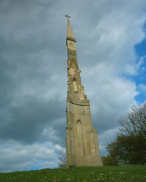
Cholera Monument Grounds and Clay Wood
Cholera Monument Grounds and Clay Wood — park in Sheffield, South Yorkshire, England, UK.
 📷 5
📷 5Parks · East Midlands
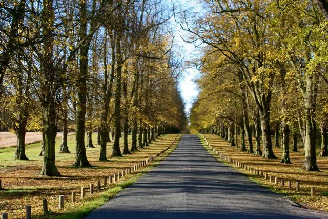
Clumber Park
Clumber Park — estate in Worksop, Nottinghamshire, England, UK.
 📷 3
📷 3Parks · East Midlands
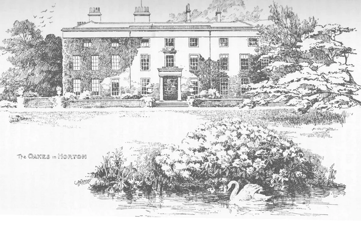
Oakes Park
Oakes Park — privately owned park in Sheffield, South Yorkshire, England, UK.
 📷 3
📷 3Parks · East Midlands
Abbeyfield Park
Abbeyfield Park — park in Pitsmoor, United Kingdom.
Frequently asked questions
- Where is Hayfield, Derbyshire?
- Hayfield, Derbyshire is in Derbyshire, the East Midlands, United Kingdom (postcode SK22 2HT), in the parish of Hayfield.
- Is Hayfield, Derbyshire free to visit?
- Yes, Hayfield, Derbyshire is free to enter.
- How do I get to Hayfield, Derbyshire?
- Drivers can navigate to postcode SK22 2HT. It sits within the High Peak parliamentary constituency.