Hill forts · South West England
Lindinis
Lindinis — former small town now known as llchester.

Wikimedia Commons contributors — see linked file page for photographer and licence licence
Plan your visit
- Typical visit
- 1 h–2 h
- Nearest railway station
- Yeovil Pen Mill · 7.9 km
- Free entry
- Dog-friendly
About
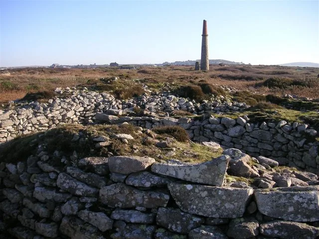
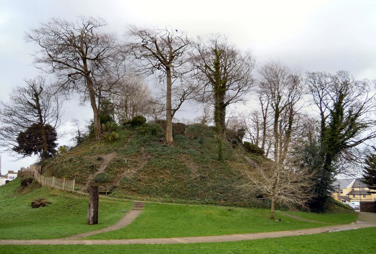
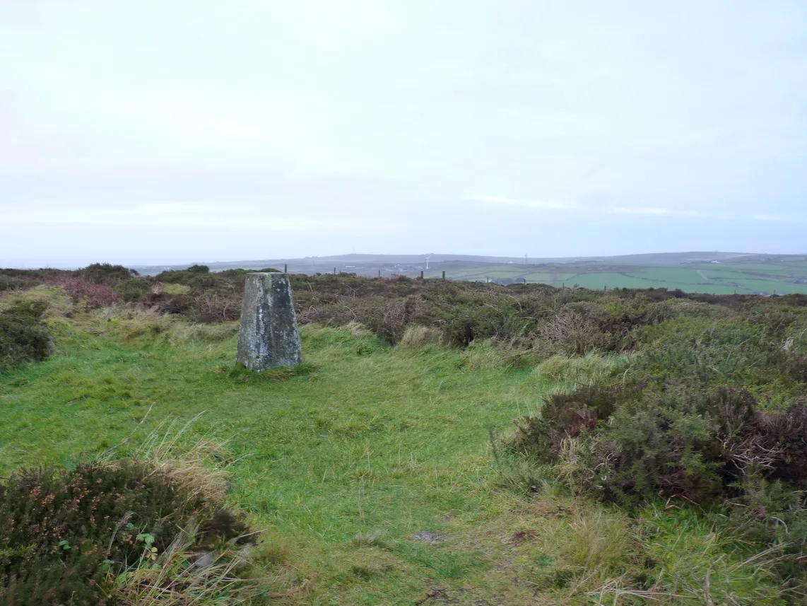
Lindinis is a hill fort in the United Kingdom. Wikidata describes it as: "former small town now known as llchester". Coordinates: 51.0010°, -2.6820°.
Photo gallery
From the Wikipedia article
Lindinis or Lendiniae was a small town in the Roman province of Britannia. Today it is known as Ilchester, located in the English county of Somerset in the United Kingdom.
Excerpt from Wikipedia under CC BY-SA 4.0. See the source article linked in Sources below.
- Coordinates
- 51.0010, -2.6820
- District
- Somerset
- Parish
- Ilchester
- Postcode
- BA22 8LW
- Parliamentary constituency
- Glastonbury and Somerton
- Nearest railway station
- Yeovil Pen Mill — 7.9 km
- Official site
- www.pastscape.org.uk
Sources
- wikidata: Q820110 (CC0)
- wikipedia: Lindinis (CC BY-SA 4.0)
- commons: Boundary of Ilchester - geograph.org.uk - 1412173.jpg (CC BY-SA 4.0)
Other places nearby
Loading nearby places…
Nearby
 📷 3
📷 3Memorials & monuments · South West England
Shorland Monument In Churhcyard About 8 Metres South West Of West Door, Church Of St Mary Major
Shorland Monument In Churhcyard About 8 Metres South West Of West Door, Church Of St Mary Major — Grade II listed building-listed memorial in england-south-west, United Kingdom.
 📷 3
📷 3Memorials & monuments · South West England
Ilchester War Memorial
Ilchester War Memorial — Grade II listed building-listed memorial in england-south-west, United Kingdom.
 📷 3
📷 3Memorials & monuments · South West England
Trent Monument In Churchyard About 2 Metres South Of Chancel, Church Of St Mary Major
Trent Monument In Churchyard About 2 Metres South Of Chancel, Church Of St Mary Major — Grade II listed building-listed memorial in england-south-west, United Kingdom.
 📷 5
📷 5Towns & cities · South West England
Ilchester
Ilchester — village and civil parish in Somerset, England.
 📷 3
📷 3Museums · South West England
Ilchester Museum
Ilchester Museum — a museum in england-south-west, United Kingdom.
 📷 3
📷 3Historic bridges · South West England
Ilchester Bridge
Ilchester Bridge — Grade II listed building-listed bridge in england-south-west, United Kingdom.
More places in this region
 📷 5
📷 5Hill forts · South West England
Ballowall Barrow
Ballowall Barrow — archaeological site in St Just, Cornwall, England, UK.
 📷 5
📷 5Hill forts · South West England
Barnstaple Castle
Barnstaple Castle — castle in Devon, England, UK.
 📷 5
📷 5Hill forts · South West England
Bartinney Castle
Bartinney Castle — Iron Age enclosure in Cornwall, England, UK.
 📷 5
📷 5Hill forts · South West England
Berry's Wood
Berry's Wood — iron Age hill fort in south Devon, England, UK.
Frequently asked questions
- Where is Lindinis?
- Lindinis is in South-West England, United Kingdom (postcode BA22 8LW), in the parish of Ilchester.
- Is Lindinis free to visit?
- Yes, Lindinis is free to enter.
- How do I get to Lindinis?
- The nearest railway station is Yeovil Pen Mill, about 7.9 km away. Drivers can navigate to postcode BA22 8LW.