Natural landmarks · Northern Ireland
Killydrum
Also known as: Coill an Droma
Killydrum in Northern Ireland, United Kingdom.

Kenneth Allen — CC BY-SA 2.0 via Wikimedia Commons licence
Plan your visit
- Typical visit
- 1 h–2 h
- Free entry
- Dog-friendly
About
Killydrum is a place of interest in Northern Ireland, United Kingdom — drawn from open-data sources for visitor reference. See the linked Wikipedia article for the full description.
Photo gallery
From the Wikipedia article
Killydrum (from Irish Coill an Droma 'wood of the ridge') is a townland in County Fermanagh, Northern Ireland. It has previously been referred to as Kildrome (1659) and Killdrum (1695). This townland belongs to the land division of Old Barr in the area of Boho. Killydrum is notable for the holy well named after St Faber' called Tober Faber, and its associated bullán. The area is historically linked to the home or castle of a chieftain called O'Fialain. In the Ordnance Survey Letters of O' Donovan, the surveyor notes that (the virgin) St. Faber first attempted to build her church in Killydrum near the holy well, however the first days construction was destroyed overnight by an invisible being. A passing deer indicated that there was another place where she could build her church without threat and carried her books on its horns down to Monea. When the deer continued its journey across the Sillees river, it slipped on the banks and it took a while for the books to be re-attached. This slip was thought to be brought about by a genius or sheaver (shaver)who inhabited the river who did everything in his power to prevent the spread of Christianity in the region. Once St Faber understood this she cursed the river with sterility of fish and fertility in destroying human life and may it run uphill with the following phrase MI-ADH EISC A'S ADH BAIDHTE AG RITH ANAGHAIDH AN AIRD GO LA BRATHA. Another interpretation of the name Killydrum is 'church of the ridge' which makes sense in this context.
Excerpt from Wikipedia under CC BY-SA 4.0. See the source article linked in Sources below.
- Coordinates
- 54.3766, -7.8434
- District
- Fermanagh and Omagh
- Postcode
- BT93 6FP
- Parliamentary constituency
- Fermanagh and South Tyrone
Sources
Other places nearby
Loading nearby places…
Nearby
 📷 3
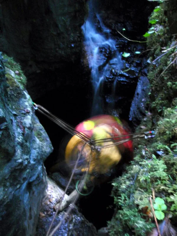
📷 3Mountains & hills · Northern Ireland
Noon's Hole
Noon's Hole — cave in Northern Ireland.
 📷 4
📷 4Natural landmarks · Northern Ireland
Agharahan
Agharahan in Northern Ireland, United Kingdom.
 📷 4
📷 4Natural landmarks · Northern Ireland
Drumbegger
Drumbegger in Northern Ireland, United Kingdom.
 📷 3
📷 3Natural landmarks · Northern Ireland
Caves of the Tullybrack and Belmore hills
Caves of the Tullybrack and Belmore hills in Northern Ireland, United Kingdom.
 📷 2
📷 2Natural landmarks · Northern Ireland
Aghakeeran
Aghakeeran in Northern Ireland, United Kingdom.
 📷 3
📷 3Natural landmarks · Northern Ireland
Reyfad
Reyfad in Northern Ireland, United Kingdom.
More natural landmarks in this region
 Flagship📷 4
Natural landmarks · Northern Ireland
Lough Erne
Lough Erne — lake in County Fermanagh, Northern Ireland, UK.
 Flagship📷 4
Natural landmarks · Northern Ireland
Lough Neagh
Lough Neagh — large lake in Northern Ireland.
 📷 3
📷 3Natural landmarks · Northern Ireland
Ballysaggart Lough
Ballysaggart Lough — lake in the United Kingdom.
 📷 5
📷 5Natural landmarks · Northern Ireland
Belmore Mountain
Belmore Mountain — mountain in the United Kingdom.
Frequently asked questions
- Where is Killydrum?
- Killydrum is in Northern Ireland, United Kingdom (postcode BT93 6FP).
- Is Killydrum free to visit?
- Yes, Killydrum is free to enter.
- How do I get to Killydrum?
- Drivers can navigate to postcode BT93 6FP. It sits within the Fermanagh and South Tyrone parliamentary constituency.