Natural landmarks · Northern Ireland
Belmore Mountain
Also known as: Sliabh Bhéal Mór
Belmore Mountain — mountain in the United Kingdom.

Wikimedia Commons contributors — see linked file page for photographer and licence licence
Plan your visit
- Typical visit
- 1 h–2 h
- Free entry
- Dog-friendly
About
Belmore Mountain is a named natural landmark in the United Kingdom. Wikidata describes it as: "mountain in the United Kingdom". Coordinates: 54.3238°, -7.7886°.
Photo gallery
From the Wikipedia article
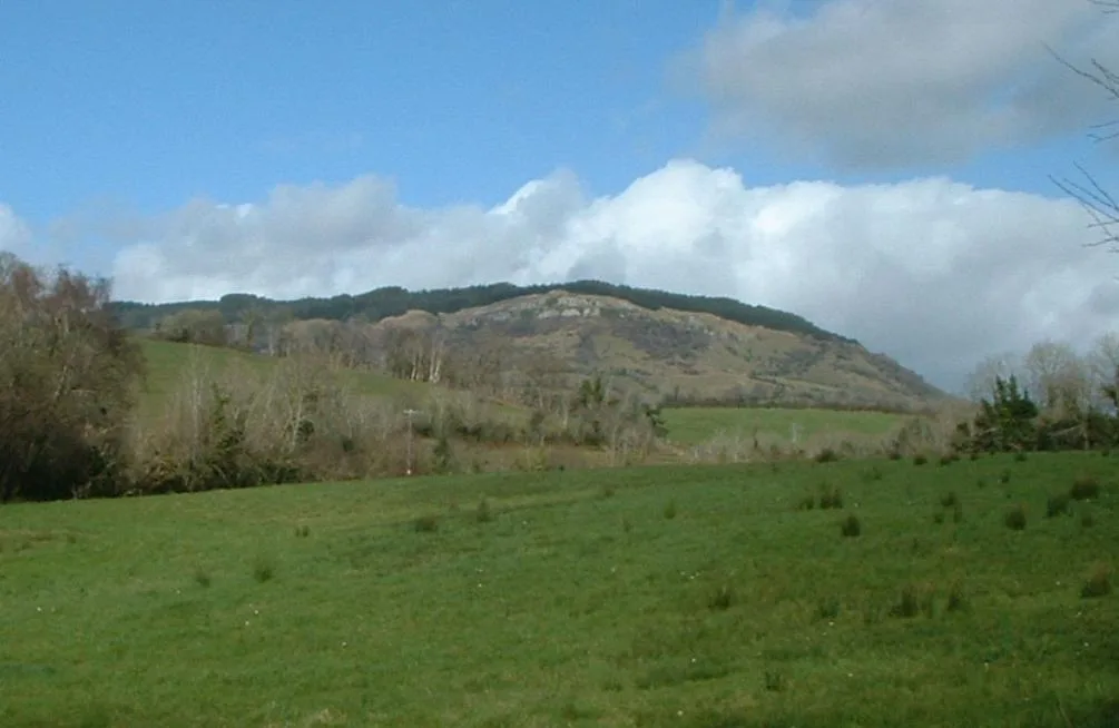
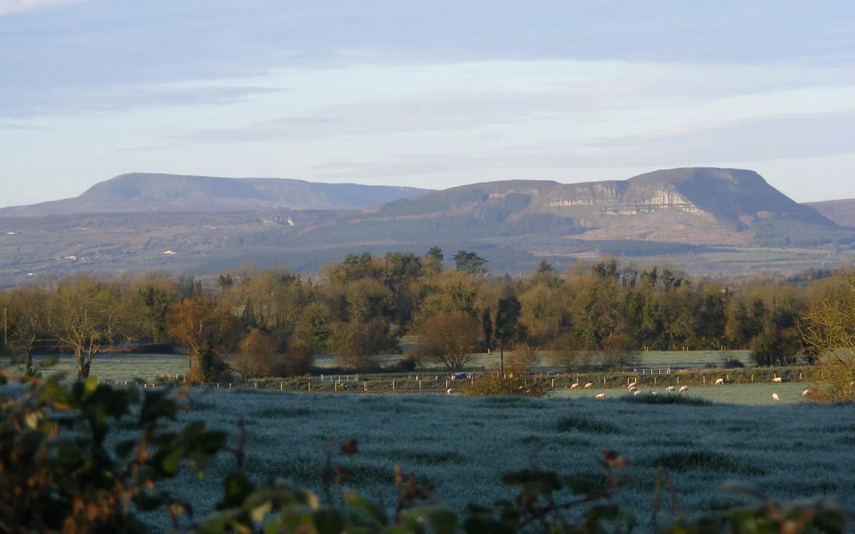
Belmore Mountain (from Irish Sliabh Bhéal Mór , meaning 'big mouth mountain') is a hill in the townland of Gortgall, western County Fermanagh, Northern Ireland. With a summit roughly 398 metres (1,306 ft) above sea level, it is the second highest point in Fermanagh, the highest being at Cuilcagh on the Northern Ireland–Republic of Ireland border in the south of the county. The historian John O Donovan (1834) states that the indigenous population called the mountain Bel Mor Muintir Pheodachain . Belmore Mountain dominates the skyline in the nearby county town of Enniskillen and gives its name to Belmore Street.
Excerpt from Wikipedia under CC BY-SA 4.0. See the source article linked in Sources below.
- Coordinates
- 54.3238, -7.7886
- District
- Fermanagh and Omagh
- Postcode
- BT74 5AY
- Parliamentary constituency
- Fermanagh and South Tyrone
Sources
- wikidata: Q3777139 (CC0)
- wikipedia: Belmore Mountain (CC BY-SA 4.0)
- commons: Belmore Mountain.JPG (CC BY-SA 4.0)
Other places nearby
Loading nearby places…
Nearby
 📷 5
📷 5Mountains & hills · Northern Ireland
Belmore Mountain
Belmore Mountain — Named summit at 398 m.
Natural landmarks · Northern Ireland
Moylehid
Moylehid in Northern Ireland, United Kingdom.

Natural landmarks · Northern Ireland
Belcoo Fault
Belcoo Fault in Northern Ireland, United Kingdom.
 📷 3
📷 3Caves · Northern Ireland
Pollnagollum Cave
Pollnagollum Cave is a cave in the United Kingdom.
 📷 3
📷 3Mountains & hills · Northern Ireland
Boho Caves
Boho Caves — cave in United Kingdom.
 📷 4
📷 4Natural landmarks · Northern Ireland
Arney River
Arney River in Northern Ireland, United Kingdom.
More natural landmarks in this region
 Flagship📷 4
Natural landmarks · Northern Ireland
Lough Erne
Lough Erne — lake in County Fermanagh, Northern Ireland, UK.
 Flagship📷 4
Natural landmarks · Northern Ireland
Lough Neagh
Lough Neagh — large lake in Northern Ireland.
 📷 3
📷 3Natural landmarks · Northern Ireland
Ballysaggart Lough
Ballysaggart Lough — lake in the United Kingdom.
 📷 5
📷 5Natural landmarks · Northern Ireland
Benaughlin Mountain
Benaughlin Mountain — mountain in the United Kingdom.
Frequently asked questions
- Where is Belmore Mountain?
- Belmore Mountain is in Northern Ireland, United Kingdom (postcode BT74 5AY).
- Is Belmore Mountain free to visit?
- Yes, Belmore Mountain is free to enter.
- How do I get to Belmore Mountain?
- Drivers can navigate to postcode BT74 5AY. It sits within the Fermanagh and South Tyrone parliamentary constituency.