Caves · Northern Ireland
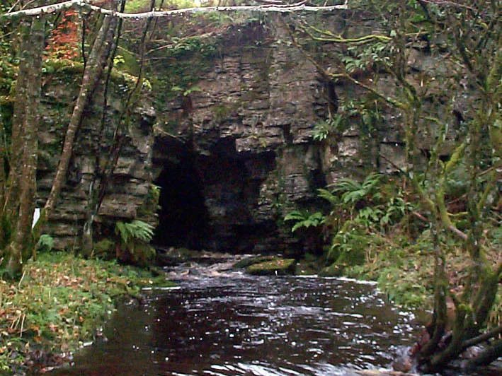
Pollnagollum Cave
Also known as: Poll na gColm, Poulnagollum
Pollnagollum Cave is a cave in the United Kingdom.

Wikimedia Commons contributors — see linked file page for photographer and licence licence
Plan your visit
- Typical visit
- 45 min–1.5 h
- Free entry
- Family-friendly
- Dog-friendly
About
Pollnagollum Cave is a named cave entrance in the United Kingdom. Also known as: Poll na gColm, Poulnagollum. Coordinates: 54.3367°, -7.8129°.
Photo gallery
From the Wikipedia article
Pollnagollum–Poulelva (usually referred to as Pollnagollum or Poulnagollum) is an active stream passage cave situated in County Clare, Ireland.
Excerpt from Wikipedia under CC BY-SA 4.0. See the source article linked in Sources below.
Background
History
The first known exploration of the cave was by T. J. Westropp in 1880, venturing as far as the Main Junction, but it was not until the 20th century that serious exploration began. E. A. Baker undertook the first systematic exploration of the cave in 1912 and returned in 1925. During the 1925 trip, Baker carried out a partial survey. In 1935 the Yorkshire Ramblers' Club recorded the first descent of Poulelva. In 1944 the Royal Irish Academy published a major survey and article by J. C. Coleman and N. J. Dunnington. In 1952 cavers from the RAF discovered Branch Passage Gallery and in 1953 they connected it to the rest of the cave. A full survey was carried out in the 1960s by the University…
Description
At over 16 km in length, Pollnagollum is the longest cave on the island of Ireland and the third deepest cave in the State. The system primarily consists of winding stream passages which interconnect in various ways, offering a great variety of through trips. The cave is usually entered via the Pollnagollum entrance, with the main streamway encountered a short distance inside. The main streamway continues for most of the length of the cave with several smaller inlets entering along its length. Near the southern end of the cave the 30 m Poulelva pot is encountered; the two entrances are often used for through-trips. Much of the water in the cave is fed from the sinks of Upper Pollnagollum,…
Sourced from Wikipedia under CC BY-SA 4.0.
- Coordinates
- 54.3367, -7.8129
- District
- Fermanagh and Omagh
- Postcode
- BT74 5BF
- Parliamentary constituency
- Fermanagh and South Tyrone
- Official site
- www.ubss.org.uk
Sources
- osm: w190908035 (ODbL)
- wikipedia: Pollnagollum (CC BY-SA 4.0)
- commons: Pollnagollum.jpg (CC BY-SA 4.0)
Other places nearby
Loading nearby places…
Nearby
 📷 3
📷 3Mountains & hills · Northern Ireland
Boho Caves
Boho Caves — cave in United Kingdom.
 📷 3
📷 3Natural landmarks · Northern Ireland
Carn
Carn in Northern Ireland, United Kingdom.
 📷 4
📷 4Natural landmarks · Northern Ireland
Boho
Boho in Northern Ireland, United Kingdom.
📷 3Natural landmarks · Northern Ireland
Knocknahunshin
Knocknahunshin in Northern Ireland, United Kingdom.
 📷 5
📷 5Mountains & hills · Northern Ireland
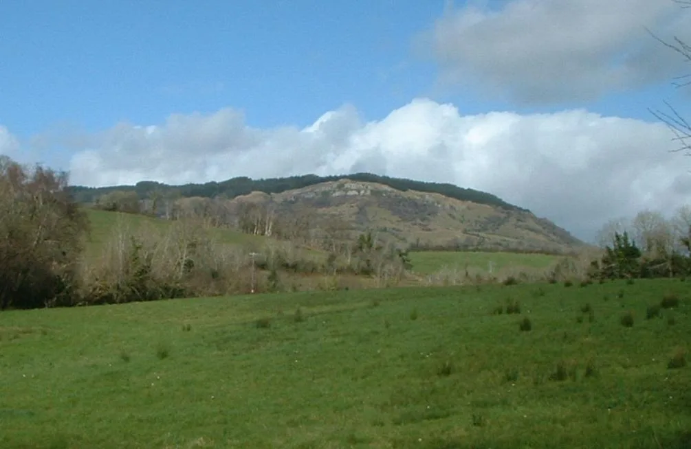
Belmore Mountain
Belmore Mountain — Named summit at 398 m.
 📷 5
📷 5Natural landmarks · Northern Ireland
Belmore Mountain
Belmore Mountain — mountain in the United Kingdom.
More caves in this region


Frequently asked questions
- Where is Pollnagollum Cave?
- Pollnagollum Cave is in Northern Ireland, United Kingdom (postcode BT74 5BF).
- Is Pollnagollum Cave free to visit?
- Yes, Pollnagollum Cave is free to enter.
- How do I get to Pollnagollum Cave?
- Drivers can navigate to postcode BT74 5BF. It sits within the Fermanagh and South Tyrone parliamentary constituency.