Natural landmarks · Northern Ireland
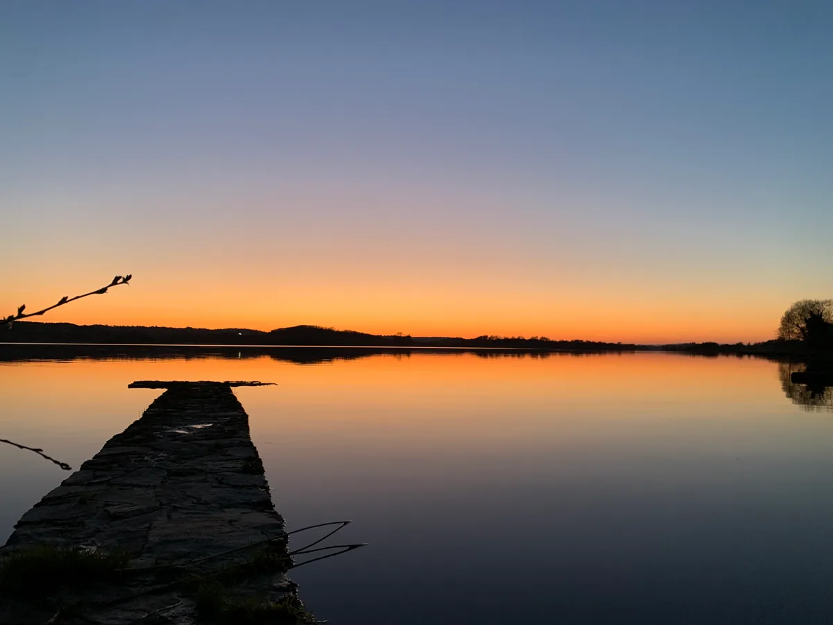
Lough Erne
Lough Erne — lake in County Fermanagh, Northern Ireland, UK.

Wikimedia Commons contributors — see linked file page for photographer and licence licence
Plan your visit
- Typical visit
- 1 h–2 h
- Free entry
- Dog-friendly
About
Lough Erne is a named natural landmark in the United Kingdom. It covers approximately 105 km². Wikidata describes it as: "lake in County Fermanagh, Northern Ireland, UK". Coordinates: 54.4826°, -7.8062°.
Photo gallery
From the Wikipedia article
Lough Erne ( LOKH URN, from Irish Loch Éirne) is two connected lakes in County Fermanagh, Northern Ireland. It is the second-largest lake system in Northern Ireland and Ulster, and the fourth largest in Ireland. The lakes are widened sections of the River Erne, which flows north and then curves west into the Atlantic. The smaller southern lake is called the Upper Lough as it is higher up the river. The larger northern lake is called the Lower Lough or Broad Lough. The town of Enniskillen lies on the short stretch of river between the lakes. The lake has more than 150 islands, along with many coves and inlets. The River Erne is 80 miles (129 km) long and drains an area of about 1,680 square miles (4,350 km2).
Excerpt from Wikipedia under CC BY-SA 4.0. See the source article linked in Sources below.
Background
History
The Menapii are the only known Celtic tribe specifically named on Ptolemy’s AD 150 map of Ireland, where they located their first colony, Menapia, on the Leinster coast circa 216 BC. They later settled around Lough Erne, becoming known as the Fir Manach, and giving their name to Fermanagh and Monaghan. Mongán mac Fiachnai, a 7th-century King of Ulster, is the protagonist of several legends linking him with Manannán mac Lir. They spread across Ireland, evolving into historic Irish (also Scottish and Manx) clans. The Annals of Ulster were written in the late 15th century on Belle Isle, an island in Upper Lough Erne. During the Second World War, RAF Castle Archdale was based on Lough Erne,…
Sourced from Wikipedia under CC BY-SA 4.0.
- Coordinates
- 54.4826, -7.8062
- Address
- County Fermanagh, Northern Ireland
- Official site
- rsis.ramsar.org
Sources
- wikidata: Q1324180 (CC0)
- wikipedia: Lough Erne (CC BY-SA 4.0)
- commons: Lough Erne.jpg (CC BY-SA 4.0)
Other places nearby
Loading nearby places…
Nearby
 📷 3
📷 3Natural landmarks · Northern Ireland
Lower Lough Erne
Lower Lough Erne — lake in Northern Ireland.
 📷 3
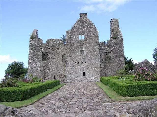
📷 3Castles · Northern Ireland
Tully Castle
Tully Castle — castle in County Fermanagh, Northern Ireland.
 📷 2
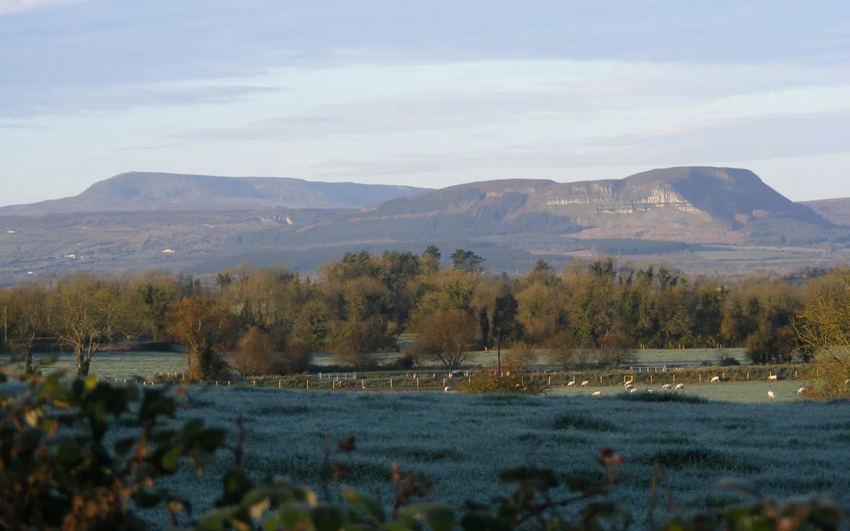
📷 2Natural landmarks · Northern Ireland
Lurg
Lurg in Northern Ireland, United Kingdom.
 📷 3
📷 3Natural landmarks · Northern Ireland
A46 road
A46 road in Northern Ireland, United Kingdom.
 📷 4
📷 4Islands · Northern Ireland
Lustymore Island
Lustymore Island — island in United Kingdom.
 📷 5
📷 5Islands · Northern Ireland
Lusty Beg Island
Lusty Beg Island — island in United Kingdom.
More natural landmarks in this region
 Flagship📷 4
Natural landmarks · Northern Ireland
Lough Neagh
Lough Neagh — large lake in Northern Ireland.
 📷 3
📷 3Natural landmarks · Northern Ireland
Ballysaggart Lough
Ballysaggart Lough — lake in the United Kingdom.
 📷 5
📷 5Natural landmarks · Northern Ireland
Belmore Mountain
Belmore Mountain — mountain in the United Kingdom.
 📷 5
📷 5Natural landmarks · Northern Ireland
Benaughlin Mountain
Benaughlin Mountain — mountain in the United Kingdom.
Frequently asked questions
- Where is Lough Erne?
- Lough Erne is in Northern Ireland, in the United Kingdom — coordinates 54.4826°, -7.8062°.
- Is Lough Erne free to visit?
- Yes — admission to Lough Erne is free.