Mountains & hills · Northern Ireland
Noon's Hole
Noon's Hole — cave in Northern Ireland.

Wikimedia Commons contributors — see linked file page for photographer and licence licence
Plan your visit
- Typical visit
- 3 h–8 h
- Best time of year
- Late spring – early autumn (May–Oct)
- Free entry
- Dog-friendly
About
Noon's Hole is a named summit in the United Kingdom. Wikidata describes it as: "cave in Northern Ireland". Coordinates: 54.3820°, -7.8521°.
Photo gallery
From the Wikipedia article
Noon's Hole (Irish grid ref H12684431) lies about 5 km northwest of the centre of Boho, in the townland of Old Barr in the civil parish of Devenish, County Fermanagh, Northern Ireland, close to the border with Boho parish. The cave is under part of the escarpment on the east side of the Glenade Sandstone uplands. At 81 m (266 ft), this pothole was thought to have the deepest shaft in Ireland, but this honour was passed to the nearby Reyfad Pot, which contains an entrance shaft of 88 m (289 ft). The continuation of the cave system (incorporating the Afternoon Series and High Noon's) contains 3.7 km (2.3 mi) of passage, and it connects to the resurgence at Arch Cave through three cave dives, making this system the 8th deepest in Ireland, at 108 m (354 ft). Noon's Hole was previously called "Sumera", meaning "abyss", but gained notoriety and a new name in the 1820s, following the notorious murder of Dominick Noone, whose body was thrown into the cave. Ordnance Survey maps still use both names.
Excerpt from Wikipedia under CC BY-SA 4.0. See the source article linked in Sources below.
- Coordinates
- 54.3820, -7.8521
- District
- Fermanagh and Omagh
- Postcode
- BT93 6FS
- Parliamentary constituency
- Fermanagh and South Tyrone
Sources
- wikidata: Q15262448 (CC0)
- wikipedia: Noon's Hole (CC BY-SA 4.0)
- commons: Noon's Hole pitch head.jpg (CC BY-SA 4.0)
Other places nearby
Loading nearby places…
Nearby
 📷 4
📷 4Natural landmarks · Northern Ireland
Agharahan
Agharahan in Northern Ireland, United Kingdom.
 📷 3
📷 3Natural landmarks · Northern Ireland
Caves of the Tullybrack and Belmore hills
Caves of the Tullybrack and Belmore hills in Northern Ireland, United Kingdom.
 📷 3
📷 3Natural landmarks · Northern Ireland
Killydrum
Killydrum in Northern Ireland, United Kingdom.
 📷 2
📷 2Natural landmarks · Northern Ireland
Aghakeeran
Aghakeeran in Northern Ireland, United Kingdom.
 📷 4
📷 4Natural landmarks · Northern Ireland
Drumbegger
Drumbegger in Northern Ireland, United Kingdom.
 📷 3
📷 3Natural landmarks · Northern Ireland
Reyfad
Reyfad in Northern Ireland, United Kingdom.
More mountains in this region
 📷 5
📷 5Mountains & hills · Northern Ireland
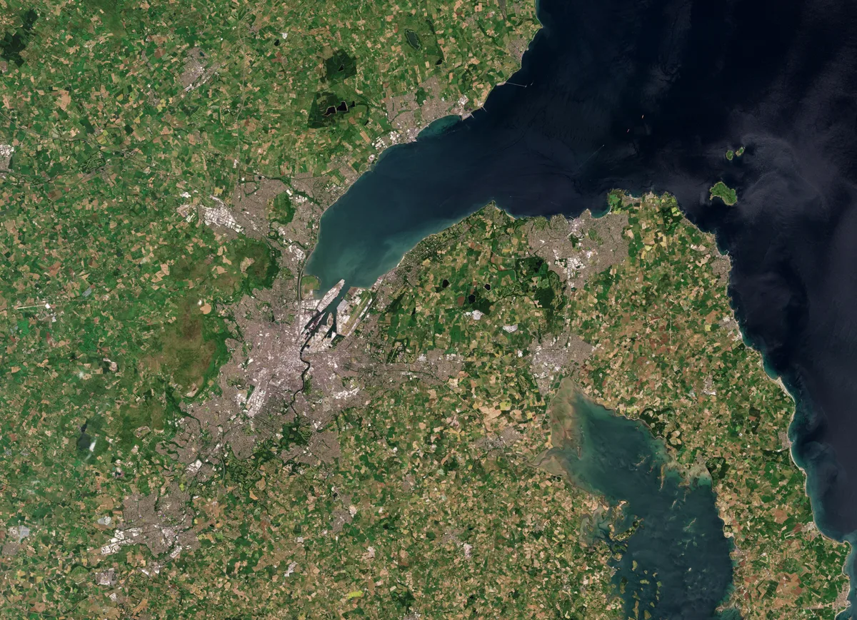
Belfast Lough
Belfast Lough — intertidal inlet in Northern Ireland.
 📷 5
📷 5Mountains & hills · Northern Ireland
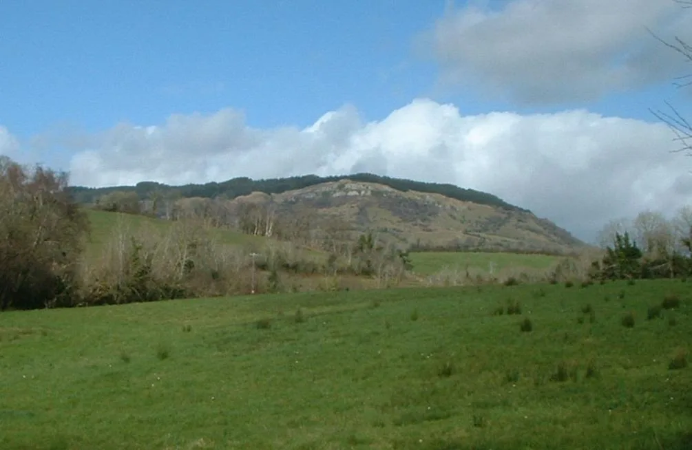
Belmore Mountain
Belmore Mountain — Named summit at 398 m.
 📷 4
📷 4Mountains & hills · Northern Ireland
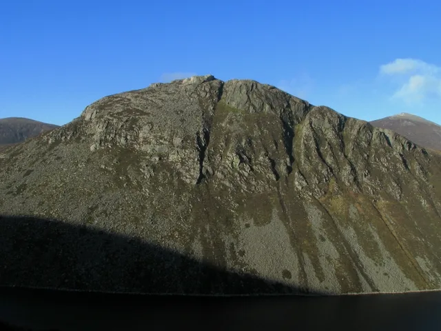
Ben Crom
Ben Crom — Named summit at 526 m.
 📷 3
📷 3Mountains & hills · Northern Ireland
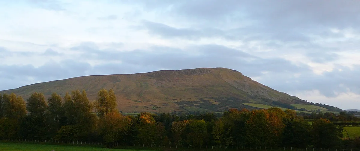
Benbradagh
Benbradagh — Named summit at 465 m.
Frequently asked questions
- Where is Noon's Hole?
- Noon's Hole is in Northern Ireland, United Kingdom (postcode BT93 6FS).
- Is Noon's Hole free to visit?
- Yes, Noon's Hole is free to enter.
- How do I get to Noon's Hole?
- Drivers can navigate to postcode BT93 6FS. It sits within the Fermanagh and South Tyrone parliamentary constituency.