Mountains & hills · North East England
High Tove
High Tove — Named summit at 515 m.

Wikimedia Commons contributors — see linked file page for photographer and licence licence
Plan your visit
- Typical visit
- 3 h–8 h
- Best time of year
- Late spring – early autumn (May–Oct)
- Nearest railway station
- Threlkeld Quarry · 8.6 km
- Free entry
- Dog-friendly
About
High Tove is a named summit in the United Kingdom. Wikidata describes it as: "Named summit at 515 m.". Coordinates: 54.5388°, -3.1002°.
Photo gallery
Protected designations
- Site of Special Scientific Interest: River Derwent and Tributaries SSSI
- Site of Special Scientific Interest: Armboth Fells SSSI
Designations sourced from Natural England open data under OGL v3.
From the Wikipedia article
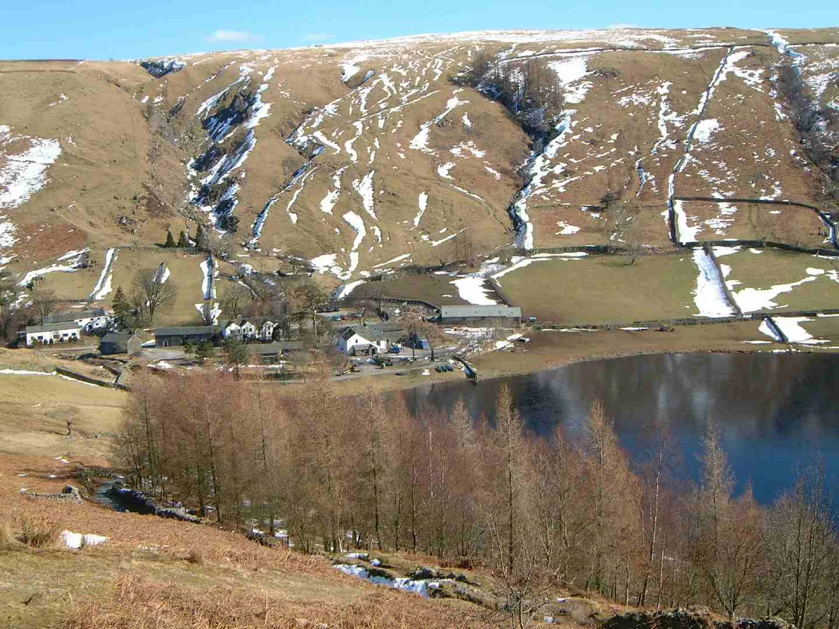
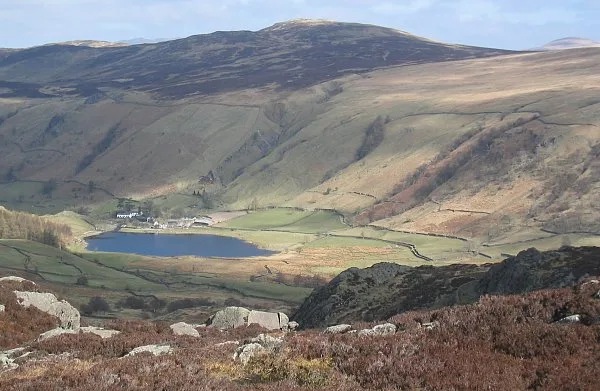
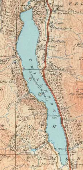
High Tove is a fell in the English Lake District, close to the geographical centre of the Cumbrian hills. It forms part of the watershed between the Derwentwater and Thirlmere catchments, a ridge running broadly north-south.
Excerpt from Wikipedia under CC BY-SA 4.0. See the source article linked in Sources below.
- Coordinates
- 54.5388, -3.1002
- District
- Cumberland
- Parish
- Borrowdale
- Postcode
- CA12 5UW
- Parliamentary constituency
- Penrith and Solway
- Nearest railway station
- Threlkeld Quarry — 8.6 km
Sources
- osm: n29765661 (ODbL)
- wikipedia: High Tove (CC BY-SA 4.0)
- commons: High Tove and Watendlath.jpg (CC BY-SA 4.0)
Other places nearby
Loading nearby places…
Nearby
 📷 3
📷 3Natural landmarks · North East England
High Tove
High Tove — mountain in United Kingdom.
 📷 3
📷 3Natural landmarks · North East England
Armboth Fell
Armboth Fell — mountain in United Kingdom.
 📷 3
📷 3Mountains & hills · North East England
High Seat
High Seat — Named summit at 609 m.
Vineyards · North East England
Reecastle Crag hillfort
Reecastle Crag hillfort — a UK vineyard in england north east, producing English or Welsh wine from cool-climate grape varieties.
 📷 3
📷 3Natural landmarks · North East England
Grange Fell
Grange Fell — mountain in United Kingdom.
 Flagship📷 3
Reservoirs & lochs · North East England
Thirlmere
Thirlmere — reservoir in the United Kingdom.
More mountains in this region
 📷 3
📷 3Mountains & hills · North East England
Angletarn Pikes
Angletarn Pikes — Named summit at 566 m.
 📷 3
📷 3Mountains & hills · North East England
Angletarn Pikes South Top
Angletarn Pikes South Top — Named summit at 563.6 m.
 📷 3
📷 3Mountains & hills · North East England
Ard Crags
Ard Crags — Named summit at 581 m.
 📷 3
📷 3Mountains & hills · North East England
Arnison Crag
Arnison Crag — Named summit at 433 m.
Frequently asked questions
- Where is High Tove?
- High Tove is in North-East England, United Kingdom (postcode CA12 5UW), in the parish of Borrowdale.
- Is High Tove a protected site?
- Yes — High Tove is part of the River Derwent and Tributaries SSSI Site of Special Scientific Interest and the Armboth Fells SSSI Site of Special Scientific Interest.
- Is High Tove free to visit?
- Yes, High Tove is free to enter.
- How do I get to High Tove?
- Drivers can navigate to postcode CA12 5UW. It sits within the Penrith and Solway parliamentary constituency.