Archaeological sites · Scottish Lowlands
Hadrian's Wall vallum between east side of road at Burgh Head, and boundary south of Ash Tree Square, Burgh-by-Sands in wall miles 71 and 72
Hadrian's Wall vallum between east side of road at Burgh Head, and boundary south of Ash Tree Square, Burgh-by-Sands in wall miles 71 and 72 — archaeological site in Burgh by Sands, Cumbria, England, UK.

Jonathan Thacker — CC BY-SA 2.0 via Wikimedia Commons licence
Plan your visit
- Typical visit
- 45 min–1.5 h
- Nearest railway station
- Carlisle · 8.5 km
- Free entry
- Dog-friendly
About
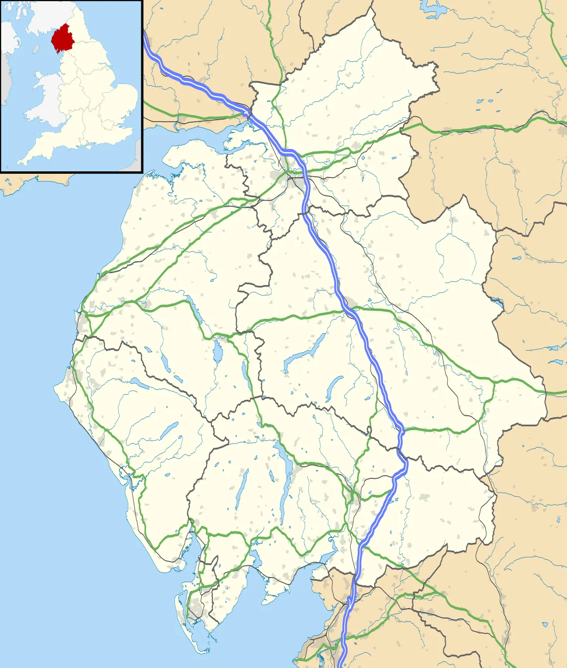
Hadrian's Wall vallum between east side of road at Burgh Head, and boundary south of Ash Tree Square, Burgh-by-Sands in wall miles 71 and 72 is an archaeological site in the United Kingdom. It covers approximately 2 km². Heritage designation: scheduled monument. Part of Hadrian's Wall. Wikidata describes it as: "archaeological site in Burgh by Sands, Cumbria, England, UK". Coordinates: 54.9213°, -3.0543°.
Photo gallery
Protected designations
- Site of Special Scientific Interest: Upper Solway Flats & Marshes SSSI
- Area of Outstanding Natural Beauty: Solway Coast
- Ramsar wetland: Upper Solway Flats & Marshes
Designations sourced from Natural England open data under OGL v3.
Place summary
Hadrian's Wall vallum is an archaeological site located in the Scottish Lowlands, specifically in the parish of Burgh by Sands (postcode CA5). This section of the wall, situated between the east side of the road at Burgh Head and the boundary south of Ash Tree Square, is designated as a scheduled monument. The area is also recognised as a Site of Special Scientific Interest (SSSI), part of an Area of Outstanding Natural Beauty (AONB), and a RAMSAR site.
AI-generated from the structured facts on this page (operator, designation, listing, era). Not a substitute for visiting.
- Coordinates
- 54.9213, -3.0543
- District
- Cumberland
- Parish
- Burgh by Sands
- Postcode
- CA5 6AN
- Parliamentary constituency
- Penrith and Solway
- Nearest railway station
- Carlisle — 8.5 km
Sources
- wikidata: Q17675717 (CC0)
Other places nearby
Loading nearby places…
Nearby
 📷 3
📷 3Hill forts · Scottish Lowlands
Aballava
Aballava is a hill fort in the United Kingdom.
 📷 4
📷 4Towns & cities · Scottish Lowlands
Burgh by Sands
Burgh by Sands — village and civil parish in Cumbria, England, UK.
 📷 5
📷 5Historic churches · Scottish Lowlands
St Michael's Church, Burgh by Sands
St Michael's Church, Burgh by Sands — Grade I listed church in Burgh by Sands, Cumberland, Cumbria , England, UK.
 📷 3
📷 3Memorials & monuments · Scottish Lowlands
Burgh by Sands War Memorial
Burgh by Sands War Memorial — Grade II listed building-listed memorial in scotland-lowlands, United Kingdom.
 📷 3
📷 3Historic bridges · Scottish Lowlands
West Green Bridge
West Green Bridge — Grade II listed building-listed bridge in scotland-lowlands, United Kingdom.

Archaeological sites · Scottish Lowlands
Roman fort and watch tower, 800m SSW of Amberfield
Roman fort and watch tower, 800m SSW of Amberfield — archaeological site in Burgh by Sands, Carlisle, England, UK.
More archaeological sites in this region
 📷 3
📷 3Archaeological sites · Scottish Lowlands
Barcombe Hill Roman signal station
Barcombe Hill Roman signal station — archaeological site in Bardon Mill, Northumberland, England, UK.
 📷 3
📷 3Archaeological sites · Scottish Lowlands
Bibra Roman Fort
Bibra Roman Fort — archaeological site in Holme St Cuthbert, Cumberland, Cumbria , England, UK.
 📷 3
📷 3Archaeological sites · Scottish Lowlands
Birdoswald Roman fort and the section of Hadrian's Wall and vallum between the River Irthing and the field boundaries east of milecastle 50
Birdoswald Roman fort and the section of Hadrian's Wall and vallum between the River Irthing and the field boundaries east of milecastle 50 — archaeological site in Waterhead, Carlisle, England, UK.
 📷 3
📷 3Archaeological sites · Scottish Lowlands
Boomby Lane 1 and 2 Roman temporary camps
Boomby Lane 1 and 2 Roman temporary camps — archaeological site in Beaumont, Carlisle, England, UK.
Frequently asked questions
- Where is Hadrian's Wall vallum between east side of road at Burgh Head, and boundary south of Ash Tree Square, Burgh-by-Sands in wall miles 71 and 72?
- Hadrian's Wall vallum between east side of road at Burgh Head, and boundary south of Ash Tree Square, Burgh-by-Sands in wall miles 71 and 72 is in the Scottish Lowlands, United Kingdom (postcode CA5 6AN), in the parish of Burgh by Sands.
- Is Hadrian's Wall vallum between east side of road at Burgh Head, and boundary south of Ash Tree Square, Burgh-by-Sands in wall miles 71 and 72 a listed building?
- Hadrian's Wall vallum between east side of road at Burgh Head, and boundary south of Ash Tree Square, Burgh-by-Sands in wall miles 71 and 72 is officially recognised as scheduled monument listed.
- Is Hadrian's Wall vallum between east side of road at Burgh Head, and boundary south of Ash Tree Square, Burgh-by-Sands in wall miles 71 and 72 a protected site?
- Yes — Hadrian's Wall vallum between east side of road at Burgh Head, and boundary south of Ash Tree Square, Burgh-by-Sands in wall miles 71 and 72 is part of the Upper Solway Flats & Marshes SSSI Site of Special Scientific Interest and the Solway Coast National Landscape (AONB).
- How do I get to Hadrian's Wall vallum between east side of road at Burgh Head, and boundary south of Ash Tree Square, Burgh-by-Sands in wall miles 71 and 72?
- Drivers can navigate to postcode CA5 6AN. It sits within the Penrith and Solway parliamentary constituency.