Towns & cities · Scottish Lowlands
Burgh by Sands
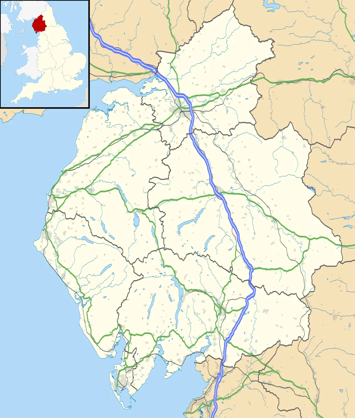
Burgh by Sands — village and civil parish in Cumbria, England, UK.

Wikimedia Commons contributors — see linked file page for photographer and licence licence
Plan your visit
- Typical visit
- 3 h–6 h
- Nearest railway station
- Carlisle · 8.4 km
- Free entry
- Family-friendly
- Dog-friendly
About
Burgh by Sands is a town, city, village or settlement in the United Kingdom. Recent population estimates put it at around 1,143 people. Address: CA5. Wikidata describes it as: "village and civil parish in Cumbria, England, UK". Coordinates: 54.9231°, -3.0508°.
Photo gallery
Protected designations
- Site of Special Scientific Interest: Upper Solway Flats & Marshes SSSI
- Area of Outstanding Natural Beauty: Solway Coast
- Ramsar wetland: Upper Solway Flats & Marshes
Designations sourced from Natural England open data under OGL v3.
From the Wikipedia article
Burgh by Sands ( ) is a village and civil parish in the Cumberland unitary authority area of Cumbria, England, situated near the Solway Firth. The parish includes the village of Burgh by Sands along with Longburgh, Dykesfield, Boustead Hill, Moorhouse and Thurstonfield. It is notable as the site of the first recorded North African (Mauri) military unit in Roman Britain, garrisoning the frontier fort of Aballava on Hadrian's Wall in the 3rd century AD. It is also where Edward I of England died in 1307. According to the 2021 census the parish had a population of 1,242. The village is about seven miles (11 km) west of Carlisle city centre. The village has a primary school, a pub and a post office. It also has a statue of Edward I at some distance to the north. Burgh was on the Carlisle Navigation canal from 1823 to 1853, after which it was served by the Port Carlisle railway, which was built on the bed of the canal, until its closure in 1932. From 1856 to 1964, railway trains operating on the Carlisle to Silloth line once again stopped at Burgh-by-Sands station.
Excerpt from Wikipedia under CC BY-SA 4.0. See the source article linked in Sources below.
Background
History
The line of Hadrian's Wall runs through the village, and the site once was that of a major Roman fort, Aballava. It is also the death-place of King Edward I of England. In the 12th century, Burgh by Sands Castle and lands of Burgh by Sands belonged to members of the Feudal barony of Burgh by Sands, among them Ada de Engaine. Her granddaughter's second marriage founded a younger branch of the Moulton family, a branch of which held this castle in the 13th century. In the 14th century the Dacre family inherited it by marriage to the heiress. King Edward I, while on his way to war against the Scots, died of dysentery on the marshes near Burgh, and his corpse lay in state at the village's…
Sourced from Wikipedia under CC BY-SA 4.0.
- Coordinates
- 54.9231, -3.0508
- District
- Cumberland
- Parish
- Burgh by Sands
- Postcode
- CA5
- Parliamentary constituency
- Penrith and Solway
- Population
- 1,143
- Nearest railway station
- Carlisle — 8.4 km
Sources
- wikidata: Q1015005 (CC0)
- wikipedia: Burgh by Sands (CC BY-SA 4.0)
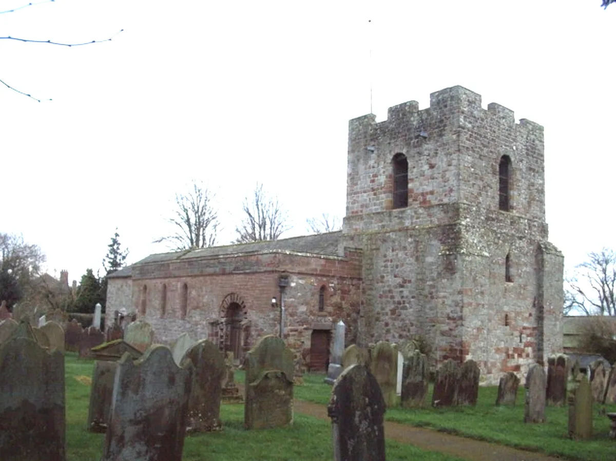
- commons: St Michael's Church, Burgh by Sands - geograph.org.uk - 351846.jpg (CC BY-SA 4.0)
Other places nearby
Loading nearby places…
Nearby
 📷 3
📷 3Hill forts · Scottish Lowlands
Aballava
Aballava is a hill fort in the United Kingdom.
 📷 3
📷 3Memorials & monuments · Scottish Lowlands
Burgh by Sands War Memorial
Burgh by Sands War Memorial — Grade II listed building-listed memorial in scotland-lowlands, United Kingdom.
 📷 5
📷 5Historic churches · Scottish Lowlands
St Michael's Church, Burgh by Sands
St Michael's Church, Burgh by Sands — Grade I listed church in Burgh by Sands, Cumberland, Cumbria , England, UK.
 📷 3
📷 3Archaeological sites · Scottish Lowlands
Hadrian's Wall vallum between east side of road at Burgh Head, and boundary south of Ash Tree Square, Burgh-by-Sands in wall miles 71 and 72
Hadrian's Wall vallum between east side of road at Burgh Head, and boundary south of Ash Tree Square, Burgh-by-Sands in wall miles 71 and 72 — archaeological site in Burgh by Sands, Cumbria, England, UK.
 📷 3
📷 3Archaeological sites · Scottish Lowlands
Burgh by Sands Roman fort, Beaumont camp, Burgh Castle and Hadrian's Wall from boundary west of churchyard, Beaumont to Burgh Head in wall miles 70 and 71
Burgh by Sands Roman fort, Beaumont camp, Burgh Castle and Hadrian's Wall from boundary west of churchyard, Beaumont to Burgh Head in wall miles 70 and 71 — archaeological site in Beaumont, Carlisle, England, UK.
 📷 3
📷 3Historic bridges · Scottish Lowlands
West Green Bridge
West Green Bridge — Grade II listed building-listed bridge in scotland-lowlands, United Kingdom.
More towns in this region
 Flagship📷 3
Towns & cities · Scottish Lowlands
Carlisle
Carlisle — city in Cumberland, Cumbria, England.
 Flagship📷 3
Towns & cities · Scottish Lowlands
Durham
Durham — city and the county town of County Durham in North East England.
 Flagship📷 5
Towns & cities · Scottish Lowlands
Newcastle upon Tyne
Newcastle upon Tyne — city in Tyne and Wear, England, UK.
 Flagship📷 3
Towns & cities · Scottish Lowlands
Sunderland
Sunderland — city in Tyne and Wear, North East England.
Frequently asked questions
- Where is Burgh by Sands?
- Burgh by Sands is in the Scottish Lowlands, United Kingdom (postcode CA5), in the parish of Burgh by Sands.
- Is Burgh by Sands a protected site?
- Yes — Burgh by Sands is part of the Upper Solway Flats & Marshes SSSI Site of Special Scientific Interest and the Solway Coast National Landscape (AONB).
- Is Burgh by Sands free to visit?
- Yes, Burgh by Sands is free to enter.
- How do I get to Burgh by Sands?
- Drivers can navigate to postcode CA5. It sits within the Penrith and Solway parliamentary constituency.