Towns & cities · West Midlands
Alderley Edge
Alderley Edge — village and civil parish in Cheshire East, UK.

Wikimedia Commons contributors — see linked file page for photographer and licence licence
Plan your visit
- Typical visit
- 3 h–6 h
- Nearest railway station
- Alderley Edge · 0.1 km
- Free entry
- Family-friendly
- Dog-friendly
- Wheelchair accessible
About
Alderley Edge is a town, city, village or settlement in the United Kingdom. Recent population estimates put it at around 4,409 people. Address: SK9. Wikidata describes it as: "village and civil parish in Cheshire East, UK". Coordinates: 53.3030°, -2.2360°.
Photo gallery
From the Wikipedia article
Alderley Edge is a village and civil parish in Cheshire, England, 6 miles (10 km) north-west of Macclesfield and 12 miles (19 km) south of Manchester. It lies at the base of a wooded sandstone escarpment, The Edge, overlooking the Cheshire Plain. As of the 2021 census, its population was 4,777. The village is known for its affluence, expensive homes and location within Cheshire's Golden Triangle. Its cafes and designer shops attract Premier League footballers, actors and businesspeople, making it one of the UK's most sought-after places to live outside London.
Excerpt from Wikipedia under CC BY-SA 4.0. See the source article linked in Sources below.
Background
History
There are many historic buildings including Chorley Old Hall, which is the oldest surviving manor house in Cheshire. To the south of the village is the Alderley Park estate, former ancestral home of the Stanleys. The village is notable for its Victorian villas. The first villa was constructed in the early 1840s and by 1850 thirty "handsome residences" had been erected, mainly by the cotton barons from Manchester who moved out of the city as the railway was built. The buildings are varied in style with examples of mock Tudor, Italian, neo-Georgian and Arts and Crafts Movement designs. The wide range of materials used reflects this somewhat eclectic mix of styles, and includes stone, brick,…
Description
The Edge is a wide red sandstone escarpment situated above the village of Alderley. An edge is used as a descriptive term for high land in Cheshire and adjacent counties. The Edge rises gradually from Macclesfield until, at a distance of 7 or 8 kilometres, it terminates abruptly, having reached a height of nearly 215 metres above sea level and 110 metres above the Cheshire Plain below it. It was formed by weathering of resistant sandstone over layers and faulting. The northern side, shaped like a horse shoe or hough, gives its name to The Hough, a hamlet of scattered houses descending towards Alderley village. Owned by the National Trust, it is a public access wooded area attracting 300,000…
Sourced from Wikipedia under CC BY-SA 4.0.
- Coordinates
- 53.3030, -2.2360
- District
- Cheshire East
- Parish
- Alderley Edge
- Postcode
- SK9
- Parliamentary constituency
- Tatton
- Population
- 4,409
- Nearest railway station
- Alderley Edge — 0.1 km
Sources
- wikidata: Q986046 (CC0)
- wikipedia: Alderley Edge (CC BY-SA 4.0)
- commons: The Wizard Inn - Alderley Edge.jpg (CC BY-SA 4.0)
Other places nearby
Loading nearby places…
Nearby
 📷 3
📷 3Memorials & monuments · West Midlands
Alderley Edge War Memorial
Alderley Edge War Memorial — Grade II listed building-listed memorial in england-west-midlands, United Kingdom.
 📷 3
📷 3Theatres · North West England
Festival Hall
Festival Hall in England North West, United Kingdom.
 📷 3
📷 3Historic churches · West Midlands
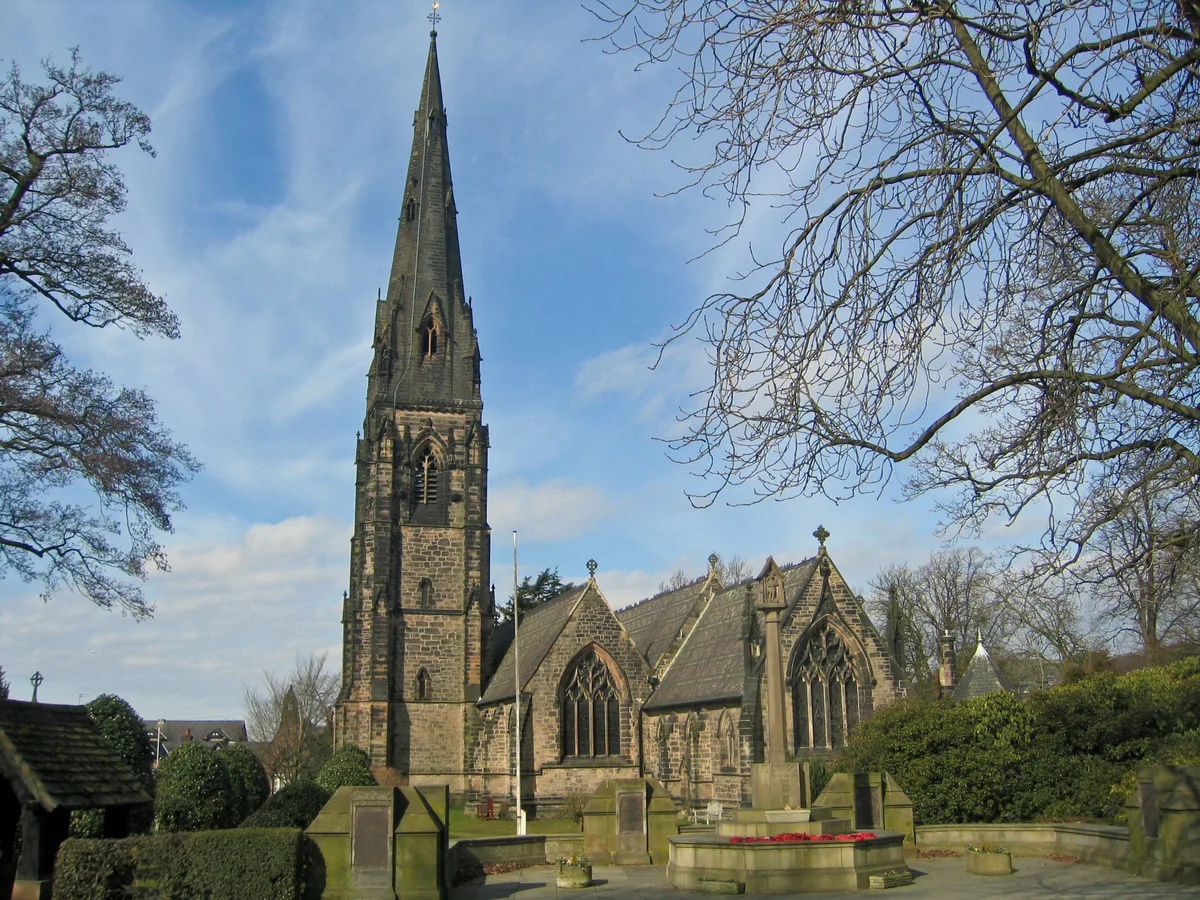
St Philip's Church, Alderley Edge
St Philip's Church, Alderley Edge — church in Cheshire East, Cheshire, England, UK.
 📷 5
📷 5Natural landmarks · West Midlands
Alderley Edge School for Girls
Alderley Edge School for Girls — a school heritage in england-west-midlands, United Kingdom.
 📷 4
📷 4Historic churches · West Midlands
Alderley Edge Methodist Church
Alderley Edge Methodist Church — a Grade II*-listed church in england-west-midlands, United Kingdom.
📷 5Natural landmarks · West Midlands
The Ryleys School
The Ryleys School — a school heritage in england-west-midlands, United Kingdom.
More towns in this region
 Flagship📷 3
Towns & cities · West Midlands
Adderbury
Adderbury — village and civil parish in Cherwell district, Oxfordshire, England.
 Flagship📷 3
Towns & cities · West Midlands
Admington
Admington — village in Warwickshire, England, UK.
 Flagship📷 3
Towns & cities · West Midlands
Aldington
Aldington — village in Worcestershire, United Kingdom.
 Flagship📷 5
Towns & cities · West Midlands
Anstey
Anstey — large village in Leicestershire, England.
Frequently asked questions
- Where is Alderley Edge?
- Alderley Edge is in the West Midlands, United Kingdom (postcode SK9), in the parish of Alderley Edge.
- Is Alderley Edge free to visit?
- Yes, Alderley Edge is free to enter.
- How do I get to Alderley Edge?
- The nearest railway station is Alderley Edge, about 0.1 km away. Drivers can navigate to postcode SK9.