Towns & cities · West Midlands
Barnett Brook
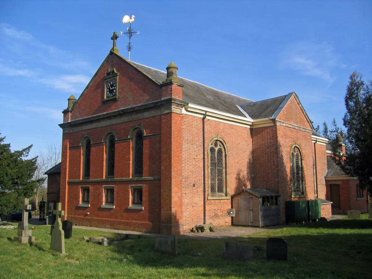
Barnett Brook — village in Cheshire, England, UK.

Nigel Williams — CC BY-SA 2.0 via Wikimedia Commons licence
Plan your visit
- Typical visit
- 3 h–6 h
- Nearest railway station
- Wrenbury · 4.1 km
- Free entry
- Family-friendly
- Dog-friendly
About
Barnett Brook is a town, city, village or settlement in the United Kingdom. Wikidata describes it as: "village in Cheshire, England, UK". Coordinates: 52.9900°, -2.5600°.
Photo gallery
From the Wikipedia article
Barnett Brook is a hamlet in the Newhall and Dodcott cum Wilkesley civil parishes in the Cheshire East area of Cheshire, England. The hamlet is situated around a road bridge carrying Sheppenhall Lane across Barnett Brook, a tributary of the River Weaver. The sandstone bridge dates from the early to mid 19th century and is a grade II listed building.
Excerpt from Wikipedia under CC BY-SA 4.0. See the source article linked in Sources below.
- Coordinates
- 52.9900, -2.5600
- District
- Cheshire East
- Parish
- Dodcott cum Wilkesley
- Postcode
- SY13 4AY
- Parliamentary constituency
- Chester South and Eddisbury
- Nearest railway station
- Wrenbury — 4.1 km
Sources
- wikidata: Q601231 (CC0)
- wikipedia: Barnett Brook (CC BY-SA 4.0)
Other places nearby
Loading nearby places…
Nearby
 📷 3
📷 3Historic bridges · West Midlands
Barnett Brook Bridge
Barnett Brook Bridge — Grade II listed building-listed bridge in england-west-midlands, United Kingdom.
 📷 3
📷 3Historic churches · West Midlands
St Mary's and St Michael's Church, Burleydam
St Mary's and St Michael's Church, Burleydam — church in Burleydam, Cheshire, England, UK.
 📷 5
📷 5Castles · West Midlands
Newhall, Cheshire
Newhall is a village (at SJ609454) and civil parish in the unitary authority of Cheshire East and the ceremonial county of Cheshire, England. The village lies 3½ miles to the west of Audlem and 5 mil
 📷 3
📷 3Theatres · West Midlands
Day-Star Theatre
Day-Star Theatre is a theatre in the United Kingdom.
 📷 3
📷 3Historic bridges · West Midlands
Bennetts Bridge (No 80) At SJ652452
Bennetts Bridge (No 80) At SJ652452 — Grade II listed building-listed bridge in england-west-midlands, United Kingdom.
 📷 3
📷 3Historic churches · West Midlands
St James' Church, Audlem
St James' Church, Audlem — church in Cheshire East, Cheshire, England, UK.
More towns in this region
 Flagship📷 3
Towns & cities · West Midlands
Adderbury
Adderbury — village and civil parish in Cherwell district, Oxfordshire, England.
 Flagship📷 3
Towns & cities · West Midlands
Admington
Admington — village in Warwickshire, England, UK.
 Flagship📷 3
Towns & cities · West Midlands
Aldington
Aldington — village in Worcestershire, United Kingdom.
 Flagship📷 5
Towns & cities · West Midlands
Anstey
Anstey — large village in Leicestershire, England.
Frequently asked questions
- Where is Barnett Brook?
- Barnett Brook is in the West Midlands, United Kingdom (postcode SY13 4AY), in the parish of Dodcott cum Wilkesley.
- Is Barnett Brook free to visit?
- Yes, Barnett Brook is free to enter.
- How do I get to Barnett Brook?
- The nearest railway station is Wrenbury, about 4.1 km away. Drivers can navigate to postcode SY13 4AY.