Archaeological sites · West Midlands
Gaddum's Wood
Gaddum's Wood is a archaeological site in the United Kingdom.

Milestone Society — CC BY-SA 2.0 via Wikimedia Commons licence
Plan your visit
- Typical visit
- 45 min–1.5 h
- Nearest railway station
- Mobberley · 2.4 km
- Free entry
- Dog-friendly
About
Gaddum's Wood is an archaeological site in the United Kingdom. Coordinates: 53.3240°, -2.2990°. This entry is part of The Great Britain Guide, a free, ad-free, open-data tourist directory.
Photo gallery
From the Wikipedia article
Gaddum's Wood is a woodland in Cheshire, England, near Wilmslow. It covers a total area of 0.52 hectares (1.28 acres). It is owned and managed by the Woodland Trust.
Excerpt from Wikipedia under CC BY-SA 4.0. See the source article linked in Sources below.
- Coordinates
- 53.3240, -2.2990
- District
- Cheshire East
- Parish
- Mobberley
- Postcode
- WA16 7LH
- Parliamentary constituency
- Tatton
- Nearest railway station
- Mobberley — 2.4 km
Sources
- wikidata: Q5516328 (CC0)
- wikipedia: Gaddum's Wood (CC BY-SA 4.0)
Other places nearby
Loading nearby places…
Nearby
 📷 3
📷 3Historic churches · West Midlands
St Wilfrid's Church, Mobberley
St Wilfrid's Church, Mobberley — Grade I listed church in Cheshire East, Cheshire, England, UK.
 📷 3
📷 3Historic churches · West Midlands
Standing cross St Wilfrid's churchyard
Standing cross St Wilfrid's churchyard — a Grade II*-listed church in england-west-midlands, United Kingdom.
 📷 4
📷 4Historic houses · West Midlands
Saltersley Hall
Saltersley Hall — a Grade II*-listed historic house in england-west-midlands, United Kingdom.
 📷 5
📷 5Parks · West Midlands
Lindow Moss
Lindow Moss, also known as Saltersley Common, is a raised mire peat bog on the edge of Wilmslow in Cheshire, England. It has been used as common land since the medieval period and is best known for th
 📷 3
📷 3Memorials & monuments · West Midlands
Morley Green War Memorial
Morley Green War Memorial — a memorial in england-west-midlands, United Kingdom.
📷 3Memorials & monuments · West Midlands
Millennium Year Memorial
Millennium Year Memorial — a memorial in england-west-midlands, United Kingdom.
More archaeological sites in this region
 📷 3
📷 3Archaeological sites · West Midlands
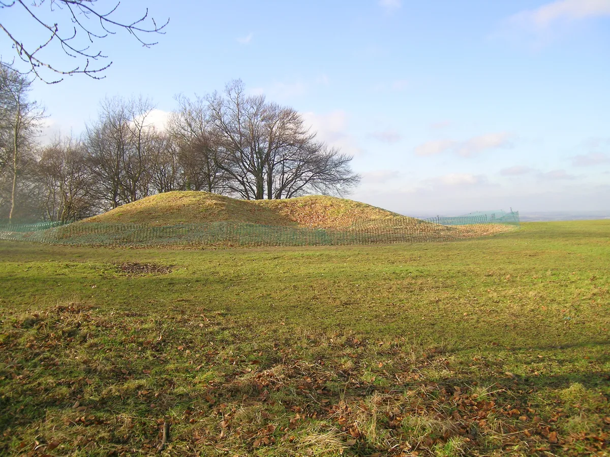
A Neolithic barrow on Whiteleaf Hill, 50m east of Whiteleaf Cross
A Neolithic barrow on Whiteleaf Hill, 50m east of Whiteleaf Cross — archaeological site in Princes Risborough, Buckinghamshire, England, UK.
 📷 3
📷 3Archaeological sites · West Midlands
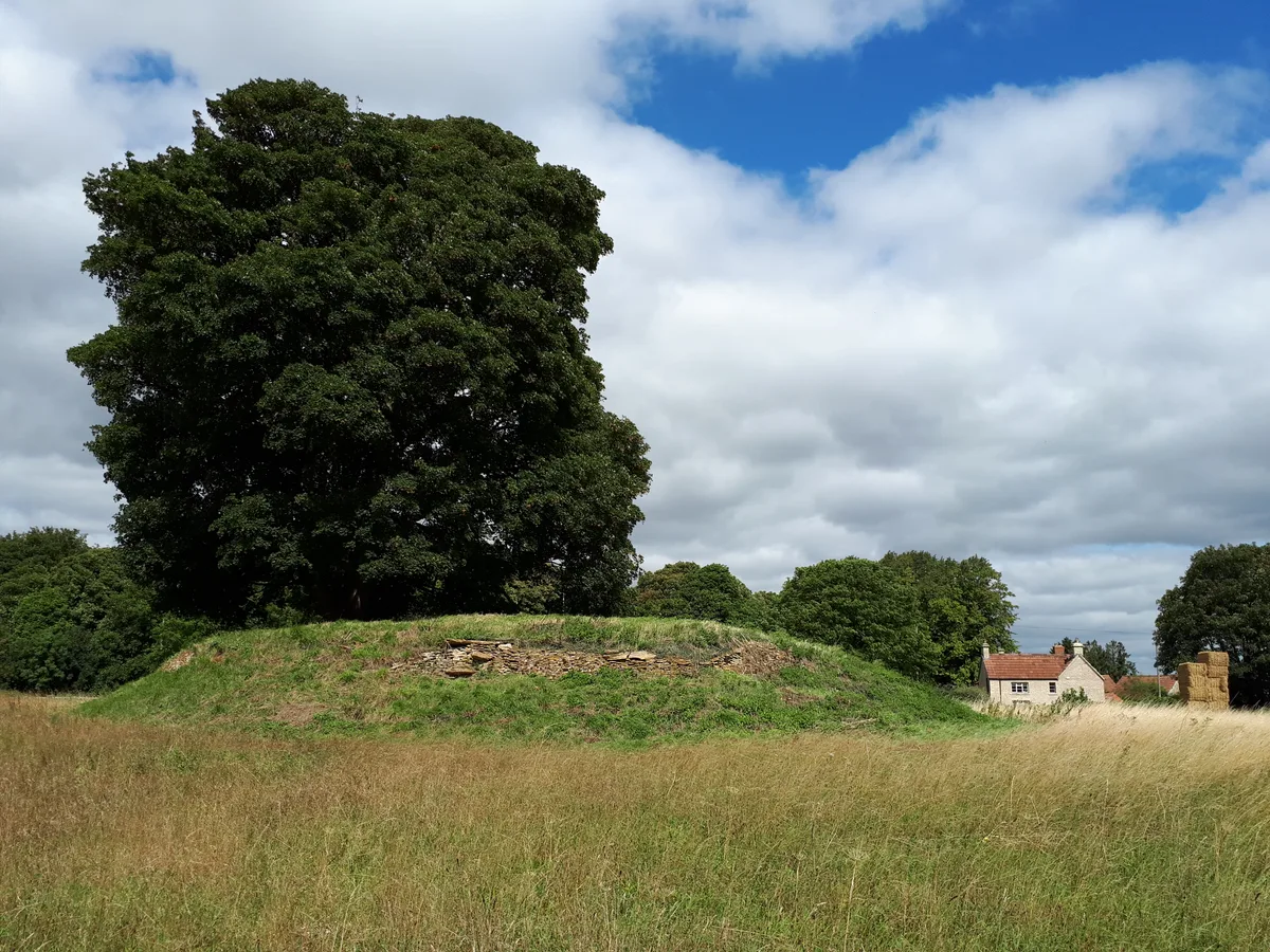
Asthall Barrow: an Anglo-Saxon burial mound 100m SSW of Barrow Farm
Asthall Barrow: an Anglo-Saxon burial mound 100m SSW of Barrow Farm — archaeological site in Asthall, West Oxfordshire, England, UK.
 📷 3
📷 3Archaeological sites · West Midlands
Barnhill moated site at Hambleton
Barnhill moated site at Hambleton — archaeological site in Hambleton, Rutland, England, UK.
 📷 2
📷 2Archaeological sites · West Midlands
Bottom Wood
Bottom Wood — English nature reserve.
Frequently asked questions
- Where is Gaddum's Wood?
- Gaddum's Wood is in the West Midlands, United Kingdom (postcode WA16 7LH), in the parish of Mobberley.
- Who owns Gaddum's Wood?
- Gaddum's Wood is owned by Woodland Trust.
- How do I get to Gaddum's Wood?
- The nearest railway station is Mobberley, about 2.4 km away. Drivers can navigate to postcode WA16 7LH.