Towns & cities · North West England
Grayrigg
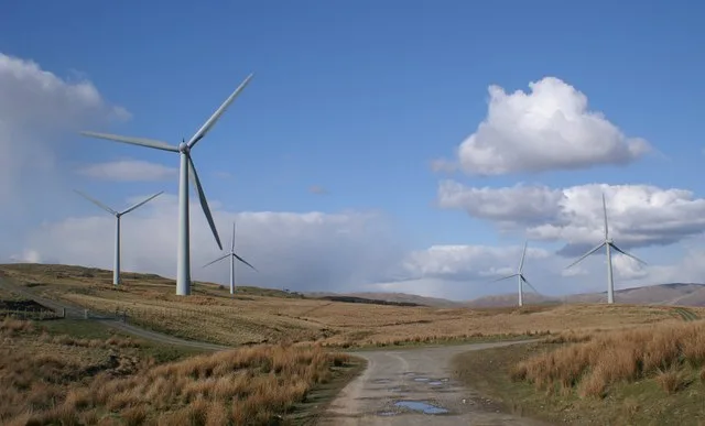
Grayrigg — a village located in South Lakeland, United Kingdom.

Wikimedia Commons contributors — see linked file page for photographer and licence licence
Plan your visit
- Typical visit
- 3 h–6 h
- Nearest railway station
- Kendal · 7.0 km
- Free entry
- Family-friendly
- Dog-friendly
About
Grayrigg is a town, city, village or settlement in the United Kingdom. Recent population estimates put it at around 214 people. Wikidata describes it as: "a village located in South Lakeland, United Kingdom". Coordinates: 54.3670°, -2.6500°.
Photo gallery
Protected designations
- Site of Special Scientific Interest: River Kent and Tributaries SSSI
- Site of Special Scientific Interest: River Eden and Tributaries SSSI
Designations sourced from Natural England open data under OGL v3.
From the Wikipedia article
Grayrigg is a small village and civil parish in the Westmorland and Furness district of Cumbria, England. In the 2001 census the parish had a population of 223, increasing at the 2011 census to 242. It lies on undulated and partly mountainous land, 4.9 miles (8 km) north east of Kendal, on the north side of the West Coast Main Line, and west side of the M6 motorway.
Excerpt from Wikipedia under CC BY-SA 4.0. See the source article linked in Sources below.
Background
History
Historically a part of Westmorland, Grayrigg and its surrounding area have provided evidence of an ancient Roman camp. During the Middle Ages Grayrigg formed a chapelry and township centred on the chapel dedicated to St John the Evangelist, which is still in use. It also used to have a Quaker meeting house, now known as the Beckhouse which is just outside of Grayrigg. It was originally built in 1696 before being extended in 1713 and it was closed in 1846; but it was reopened in 1871 before closing for the last time in 1952.
Sourced from Wikipedia under CC BY-SA 4.0.
- Coordinates
- 54.3670, -2.6500
- District
- Westmorland and Furness
- Parish
- Grayrigg
- Postcode
- LA8 9BU
- Parliamentary constituency
- Westmorland and Lonsdale
- Population
- 214
- Nearest railway station
- Kendal — 7 km
Sources
- wikidata: Q919231 (CC0)
- wikipedia: Grayrigg (CC BY-SA 4.0)
- commons: St John the Evangelist Church, Grayrigg.jpg (CC BY-SA 4.0)
Other places nearby
Loading nearby places…
Nearby
 📷 3
📷 3Historic bridges · North West England
Ivy Bridge
Ivy Bridge — Grade II listed building-listed bridge in england-north-west, United Kingdom.
 📷 3
📷 3Historic bridges · North West England
Docker Viaduct
Docker Viaduct is a historic bridge in the United Kingdom.
 📷 3
📷 3Manor houses · North West England
Shaw End Mansion
Shaw End Mansion — a manor in england-north-west, United Kingdom.
 📷 3
📷 3Natural landmarks · North West England
Lambrigg Fell
Lambrigg Fell — 339m high mountain in England.
 📷 3
📷 3Mountains & hills · North West England
Lambrigg Fell
Lambrigg Fell — Named summit at 339 m.
Mountains & hills · North West England
Whinfell Beacon
Whinfell Beacon — Named summit at 472 m.
More towns in this region
 Flagship📷 5
Towns & cities · North West England
Aughton
Aughton — village and civil parish within the West Lancashire district of Lancashire, England.
 Flagship📷 5
Towns & cities · North West England
Haigh
Haigh — village and civil parish of the Metropolitan Borough of Wigan in Greater Manchester, England.
 Flagship📷 5
Towns & cities · North West England
Lancaster
Lancaster — county town of Lancashire, England.
 Flagship📷 3
Towns & cities · North West England
Preston
Preston — city and the administrative centre of Lancashire, England.
Frequently asked questions
- Where is Grayrigg?
- Grayrigg is in North-West England, United Kingdom (postcode LA8 9BU), in the parish of Grayrigg.
- Is Grayrigg a protected site?
- Yes — Grayrigg is part of the River Kent and Tributaries SSSI Site of Special Scientific Interest and the River Eden and Tributaries SSSI Site of Special Scientific Interest.
- Is Grayrigg free to visit?
- Yes, Grayrigg is free to enter.
- How do I get to Grayrigg?
- The nearest railway station is Kendal, about 7.0 km away. Drivers can navigate to postcode LA8 9BU.