Mountains & hills · South East England
Gander Down
Gander Down — Named summit at 30 m.

Wikimedia Commons contributors — see linked file page for photographer and licence licence
Plan your visit
- Typical visit
- 3 h–8 h
- Best time of year
- Late spring – early autumn (May–Oct)
- Nearest railway station
- Brading · 0.6 km
- Free entry
- Dog-friendly
About
Gander Down is a named summit in the United Kingdom. Wikidata describes it as: "Named summit at 30 m.". Coordinates: 50.6737°, -1.1343°.
Photo gallery
Protected designations
- Area of Outstanding Natural Beauty: Isle Of Wight
- Ramsar wetland: Solent & Southampton Water
Designations sourced from Natural England open data under OGL v3.
From the Wikipedia article
Culver Down is a chalk down to the north of Sandown, Isle of Wight. It is the easternmost point of the Island.
Excerpt from Wikipedia under CC BY-SA 4.0. See the source article linked in Sources below.
Background
History
The public parts of this prominent headland are owned and managed by the National Trust, and afford views of the English Channel. For many years the whole site was a military zone and not open to the public. There are several historic military features on the down, a number of private dwellings, the Culver Haven pub, and the very visible Monument. The military barracks which once adjoined the monument has been almost completely erased, but there is a substantial fort, now under the ownership of the National Trust and occasionally opened to the public. Part of the fort is leased to Micronair, manufacturing crop-spraying and military equipment. It is a Palmerston Fort, constructed in the…
Description
The monument is a memorial to Charles Anderson-Pelham, the 2nd Baron Yarborough (later first Earl of Yarborough and also Baron Worsley), founder of the Royal Yacht Squadron at Cowes. It was originally erected in 1849 on the highest point of Bembridge Down, 3/4 mile to the west, and was moved to its present position in the 1860s when its former site was used for the construction of one of the Palmerston forts.
Sourced from Wikipedia under CC BY-SA 4.0.
- Coordinates
- 50.6737, -1.1343
- District
- Isle of Wight
- Parish
- Brading
- Postcode
- PO36 0EB
- Parliamentary constituency
- Isle of Wight East
- Nearest railway station
- Brading — 0.6 km
Sources
- osm: n4126207478 (ODbL)
- wikipedia: Culver Down (CC BY-SA 4.0)
- commons: Culver bill1.jpg (CC BY-SA 4.0)
Other places nearby
Loading nearby places…
Nearby
 📷 5
📷 5Forts · South East England
Pill Box
Pill Box is a fort in the United Kingdom.
 📷 5
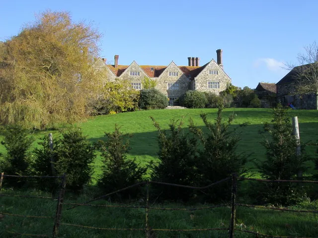
📷 5Stately homes · South East England
Yaverland Manor
Yaverland Manor — Grade I listed English country house in Isle of Wight, England, UK.
 📷 5
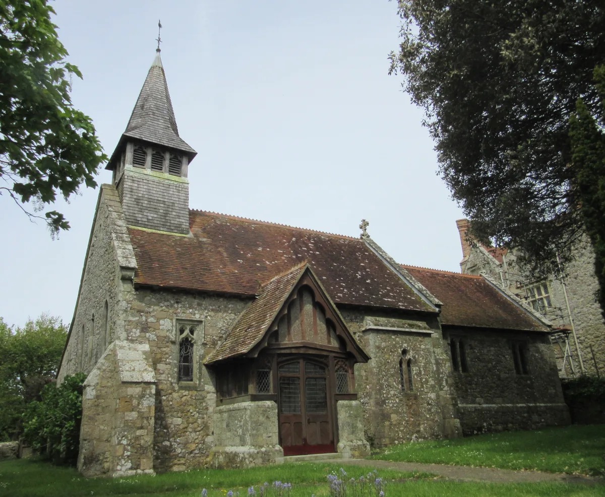
📷 5Historic churches · South East England
St. John the Baptist Church, Yaverland
St. John the Baptist Church, Yaverland — church in Sandown, Isle of Wight, England, UK.
 📷 5
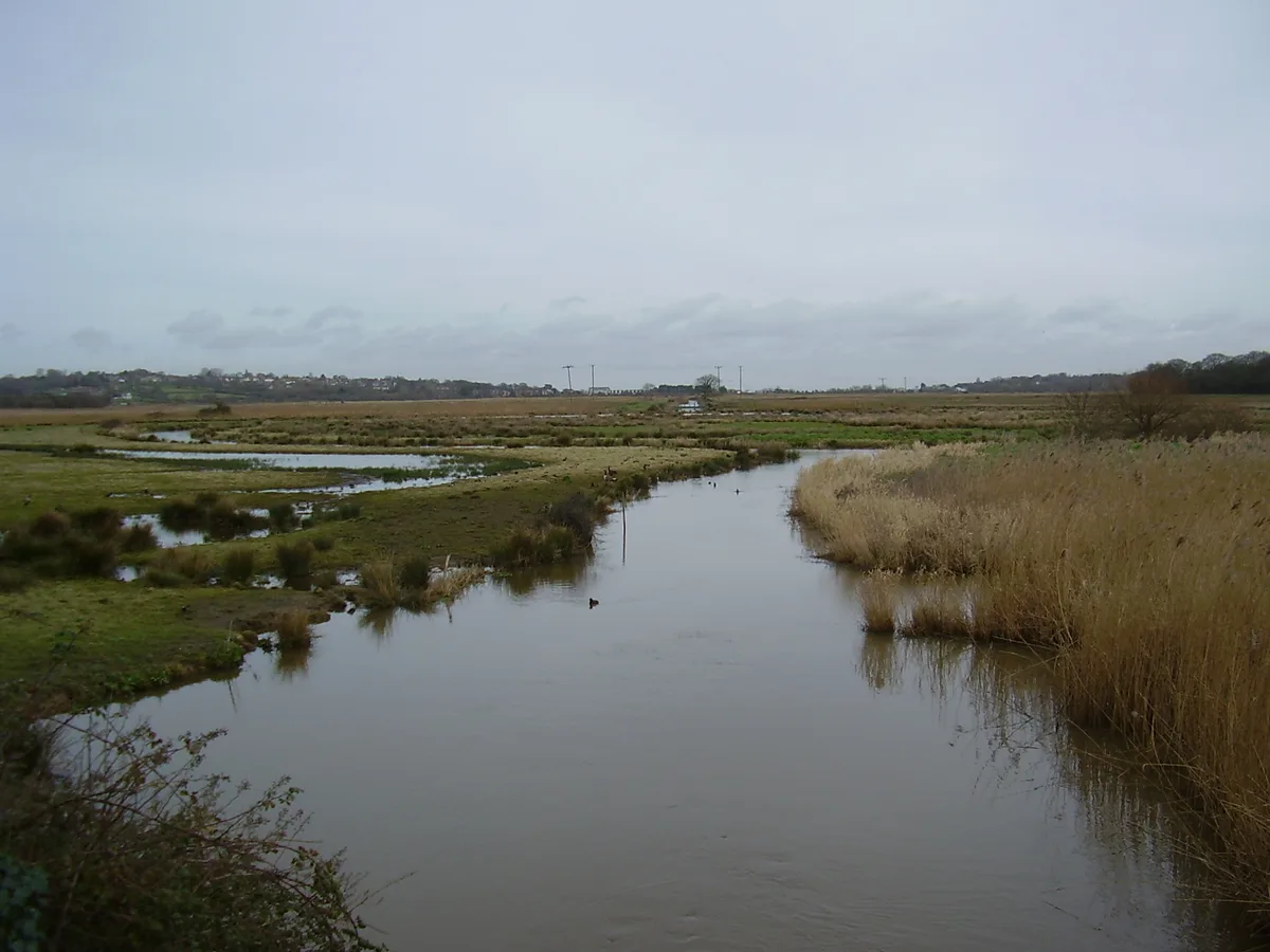
📷 5Wildlife reserves · South East England
Brading Marshes RSPB reserve
Brading Marshes RSPB reserve — RSPB nature reserve on the Isle of Wight.
 📷 5
📷 5Natural landmarks · South East England
Brading Railway Station Signal Box
Brading Railway Station Signal Box — a other in england-south-east, United Kingdom.
 📷 5
📷 5Museums · South East England
Brading Railway Heritage Centre
Brading Railway Heritage Centre — a museum in england-south-east, United Kingdom.
More mountains in this region
 📷 5
📷 5Mountains & hills · South East England
Alum Bay
Alum Bay is a mountain or hill in the United Kingdom.
 📷 5
📷 5Mountains & hills · South East England
Arish Mell
Arish Mell — bay in Dorset, England.
 📷 5
📷 5Mountains & hills · South East England
Balaclava Bay
Balaclava Bay — bay in Dorset, England.
 📷 5
📷 5Mountains & hills · South East England
Balch Cave
Balch Cave — Cave in Somerset, England.
Frequently asked questions
- Where is Gander Down?
- Gander Down is in South-East England, United Kingdom (postcode PO36 0EB), in the parish of Brading.
- Is Gander Down a protected site?
- Yes — Gander Down is part of the Isle Of Wight National Landscape (AONB) and the Solent & Southampton Water Ramsar wetland.
- Is Gander Down free to visit?
- Yes, Gander Down is free to enter.
- How do I get to Gander Down?
- The nearest railway station is Brading, about 0.6 km away. Drivers can navigate to postcode PO36 0EB.