Towns & cities · South East England
St Helens
Also known as: St Helens, Ynys Wyth
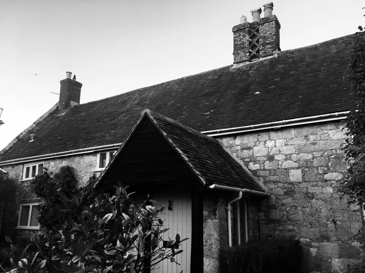
St Helens — village and civil parish on the Isle of Wight, England.

Wikimedia Commons contributors — see linked file page for photographer and licence licence
Plan your visit
- Typical visit
- 3 h–6 h
- Nearest railway station
- Brading · 2.9 km
- Free entry
- Family-friendly
- Dog-friendly
About
St Helens is a town, city, village or settlement in the United Kingdom. Recent population estimates put it at around 1,213 people. Address: PO33. Wikidata describes it as: "village and civil parish on the Isle of Wight, England". Coordinates: 50.6980°, -1.1124°.
Photo gallery
Protected designations
- Site of Special Scientific Interest: Brading Marshes to St. Helen's Ledges SSSI
- Area of Outstanding Natural Beauty: Isle Of Wight
- Ramsar wetland: Solent & Southampton Water
Designations sourced from Natural England open data under OGL v3.
From the Wikipedia article
St Helens is a village and civil parish located on the eastern side of the Isle of Wight. The village developed around village greens. This is claimed to be the largest in England but some say it is the second largest. The greens are often used for cricket matches during the summer and football in the winter, and also include a children's playground. The village is a short distance from the coast, about a ten-minute walk to St Helens Duver. The Duver was once the location of the island's first golf course (one of England's first golf courses), which for a while was almost as famous as the golf course at St Andrews. It is now a popular beach for tourists during the summer season and is protected by the National Trust. It is linked to other parts of the island by Southern Vectis bus route 8 serving Ryde, Bembridge, Sandown and Newport including intermediate villages.
Excerpt from Wikipedia under CC BY-SA 4.0. See the source article linked in Sources below.
Background
History
The origin of St Helens seems to revolve around the Cluniac Priory and the monastic church, built circa 1080. In 1340 a French raid landed at St Helens but was repulsed by Sir Theobald Russell. In 1346 Edward III set sail from St Helens to invade Normandy. After Henry V suppressed the alien priories in 1414 the old church became the parish church. The original church eventually became unsafe and a new one was built further inland. In 1720 a great wave destroyed the old church, though the church tower still stands to this day; the seaward side is painted as a sea mark. It is believed that Admiral Lord Nelson's last view of England was of the St Helens seamark - HMS Victory had anchored…
Sourced from Wikipedia under CC BY-SA 4.0.
- Coordinates
- 50.6980, -1.1124
- District
- Isle of Wight
- Parish
- St Helens
- Postcode
- PO33
- Parliamentary constituency
- Isle of Wight East
- Population
- 1,213
- Nearest railway station
- Brading — 2.9 km
- Official site
- www.neighbourhood.statistics.gov.uk
Sources
- wikidata: Q1860807 (CC0)
- wikipedia: St Helens, Isle of Wight (CC BY-SA 4.0)
- commons: St helens old church1.jpg (CC BY-SA 4.0)
Other places nearby
Loading nearby places…
Nearby
 Flagship📷 5
Stately homes · South East England
Eddington Manor
Eddington Manor — manor house in St. Helens, Isle of Wight, England, UK.
 📷 5
📷 5Historic churches · South East England
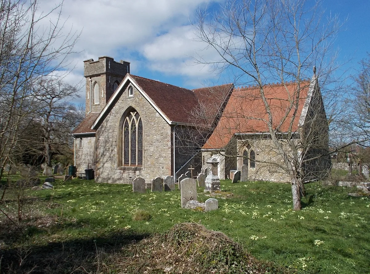
St. Helen's Church, St. Helens
St. Helen's Church, St. Helens — church in Nettlestone and Seaview, Isle of Wight, England, UK.
Caravan parks · South East England
Carpenters Farm Campsite
Carpenters Farm Campsite — a caravan park in england south east.
Caravan parks · South East England
Nodes Point Holiday Park
Nodes Point Holiday Park — a caravan park in england south east. Brand: Parkdean Resorts.
 📷 5
📷 5Memorials & monuments · South East England
St Helen's Old Church (ruin)
St Helen's Old Church (ruin) is a memorial in the United Kingdom.
 📷 5
📷 5Memorials & monuments · South East England
Kerry Fields
Kerry Fields — a memorial in england-south-east, United Kingdom.
More towns in this region
 Flagship📷 10
Towns & cities · South East England
Aldermaston
Aldermaston — village and civil parish in West Berkshire in England, UK.
 Flagship📷 10
Towns & cities · South East England
Aldingbourne
Aldingbourne — village and civil parish in Arun, West Sussex, UK.
 Flagship📷 10
Towns & cities · South East England
Aldington
Aldington — village and civil parish in the Ashford District of Kent, England.
 Flagship📷 10
Towns & cities · South East England
Aldworth
Aldworth — village and civil parish in the English county of Berkshire.
Frequently asked questions
- Where is St Helens?
- St Helens is in South-East England, United Kingdom (postcode PO33), in the parish of St Helens.
- Is St Helens a protected site?
- Yes — St Helens is part of the Brading Marshes to St. Helen's Ledges SSSI Site of Special Scientific Interest and the Isle Of Wight National Landscape (AONB).
- Is St Helens free to visit?
- Yes, St Helens is free to enter.
- How do I get to St Helens?
- The nearest railway station is Brading, about 2.9 km away. Drivers can navigate to postcode PO33.