Forts · South East England
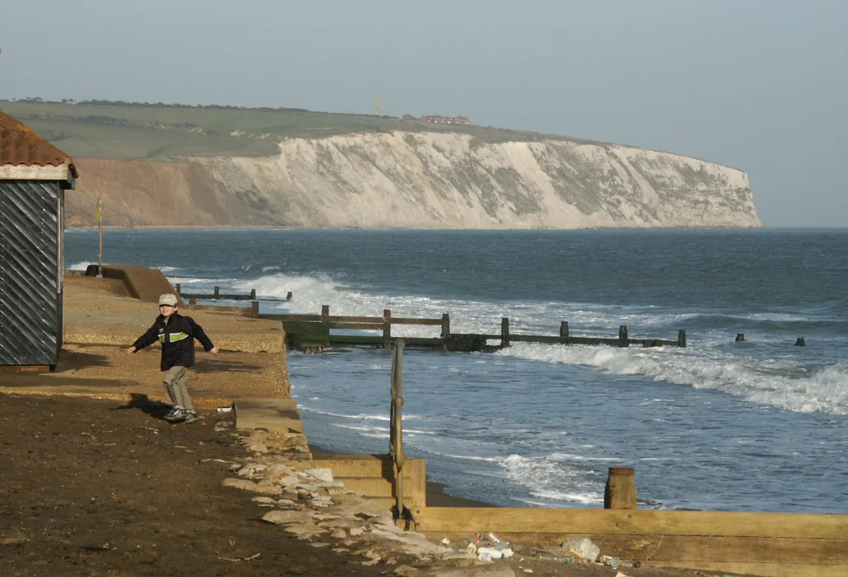
Pill Box
Pill Box is a fort in the United Kingdom.

Paul Coueslant — CC BY-SA 2.0 via Wikimedia Commons licence
Plan your visit
- Typical visit
- 45 min–1.5 h
- Nearest railway station
- Brading · 0.5 km
About
Pill Box is a fortified site in South-East England. The site is within the Isle Of Wight National Landscape (AONB), and is a Ramsar wetland of international importance. It sits within the Isle of Wight East parliamentary constituency. The nearest railway station is Brading, about 0.5 km away. Postcode area PO36.
Photo gallery
Protected designations
- Area of Outstanding Natural Beauty: Isle Of Wight
- Ramsar wetland: Solent & Southampton Water
Designations sourced from Natural England open data under OGL v3.
Place summary
Pill Box is a fort located in Brading, South-East England, within the Isle of Wight Area of Outstanding Natural Beauty. It is also part of the Ramsar-designated Solent & Southampton Water, highlighting its ecological significance.
AI-generated from the structured facts on this page (operator, designation, listing, era). Not a substitute for visiting.
- Coordinates
- 50.6737, -1.1407
- District
- Isle of Wight
- Parish
- Brading
- Postcode
- PO36 0AG
- Parliamentary constituency
- Isle of Wight East
- Nearest railway station
- Brading — 0.5 km
Sources
- osm: n5007317463 (ODbL)
Other places nearby
Loading nearby places…
Nearby
 📷 5
📷 5Mountains & hills · South East England
Gander Down
Gander Down — Named summit at 30 m.
 📷 5
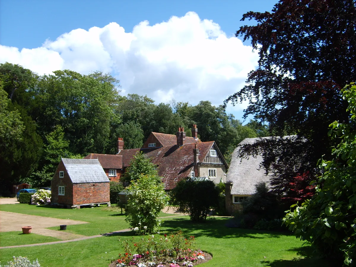
📷 5Stately homes · South East England
Morton Manor
Morton Manor — architectural structure in Brading, Isle of Wight, England, UK.
 📷 5
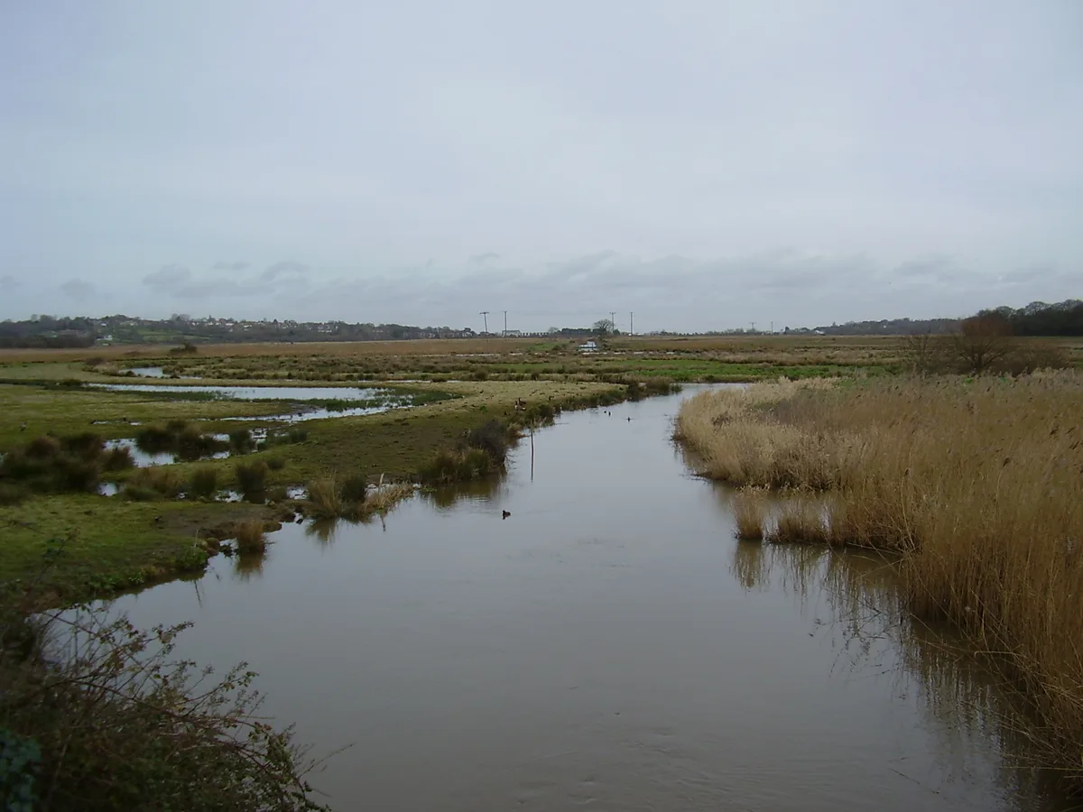
📷 5Wildlife reserves · South East England
Brading Marshes RSPB reserve
Brading Marshes RSPB reserve — RSPB nature reserve on the Isle of Wight.
 📷 5
📷 5Museums · South East England
Brading Railway Heritage Centre
Brading Railway Heritage Centre — a museum in england-south-east, United Kingdom.
 📷 5
📷 5Natural landmarks · South East England
Brading Railway Station Signal Box
Brading Railway Station Signal Box — a other in england-south-east, United Kingdom.
 📷 5
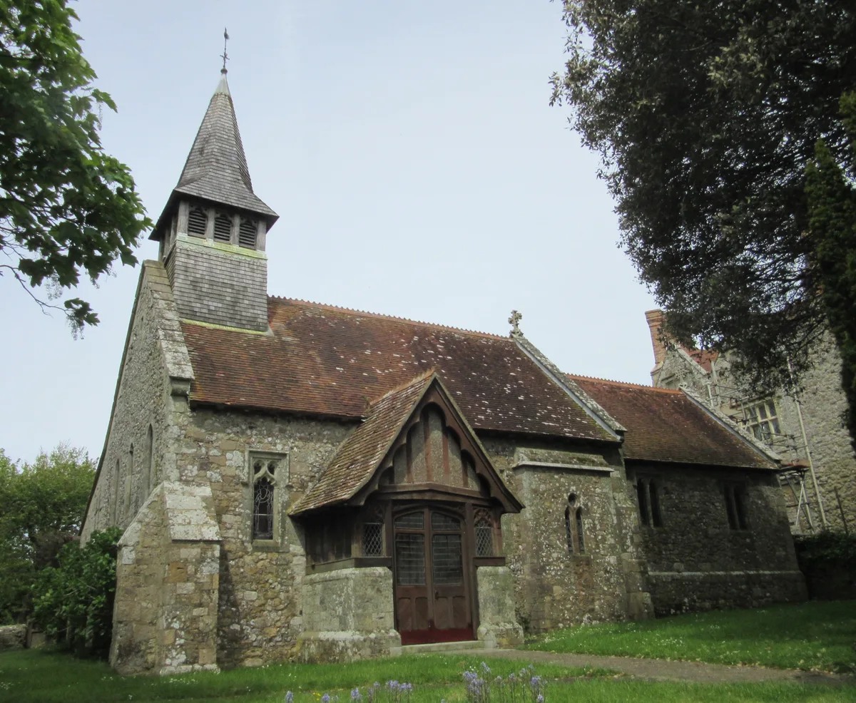
📷 5Historic churches · South East England
St. John the Baptist Church, Yaverland
St. John the Baptist Church, Yaverland — church in Sandown, Isle of Wight, England, UK.
More forts in this region
 📷 5
📷 5Forts · South East England
Admiralty Pier Turret
Admiralty Pier Turret is a fort in the United Kingdom.
 📷 5
📷 5Forts · South East England
Ashley Bombing Range(WW2)
Ashley Bombing Range(WW2) is a fort in the United Kingdom.
 📷 5
📷 5Forts · South East England
Battle of Aldbourne Chase
Battle of Aldbourne Chase — Battlefield site, dating to 1643-09-18.
'_-_cropped.jpg?width=1200) 📷 5
📷 5Forts · South East England
Battle of Cheriton
Battle of Cheriton is a fort in the United Kingdom.
Frequently asked questions
- Where is Pill Box?
- Pill Box is in South-East England, United Kingdom (postcode PO36 0AG), in the parish of Brading.
- Is Pill Box a protected site?
- Yes — Pill Box is part of the Isle Of Wight National Landscape (AONB) and the Solent & Southampton Water Ramsar wetland.
- How do I get to Pill Box?
- The nearest railway station is Brading, about 0.5 km away. Drivers can navigate to postcode PO36 0AG.