Canals · North West England
Fletcher's Canal
Fletcher's Canal — canal in Greater Manchester, England.

Wikimedia Commons contributors — see linked file page for photographer and licence licence
Plan your visit
- Typical visit
- 1 h–2 h
- Nearest railway station
- Clifton · 0.6 km
- Free entry
- Dog-friendly
About
Fletcher's Canal is a canal in the United Kingdom. Wikidata describes it as: "canal in Greater Manchester, England". Coordinates: 53.5266°, -2.3199°.
Photo gallery
From the Wikipedia article
Fletcher's Canal was a 1.5-mile (2.4 km) long canal in Greater Manchester, which connected the Wet Earth Colliery to the Manchester, Bolton and Bury Canal at Clifton Aqueduct. The canal is now derelict and no longer used. The canal was built on the south bank of the River Irwell through the area now known as Clifton Country Park. West of Pilkington's long sections of the canal are evident, although none of these sections hold water. As the canal passes through Clifton Country Park a footpath is maintained along the former towpath. Some of the original features are still evident, albeit in extremely poor condition.
Excerpt from Wikipedia under CC BY-SA 4.0. See the source article linked in Sources below.
Background
History
Between 1752 and 1756, James Brindley devised a method of pumping water from the nearby Wet Earth Colliery using power harnessed from the River Irwell via a water wheel. Around 1790-91 Matthew Fletcher began widening some of the original Brindley water channels to create a new canal, latterly known as Fletcher's Canal. In 1799 Benjamin Outram installed a lock along the canal, to avoid taking too much water. The canal construction was completed and navigable by 1800. In 1867 the original Brindley water wheel was decommissioned and replaced with a water turbine. This was replaced by a steam pump in 1924. Wet Earth Colliery was closed in 1928, and in 1952 the canal was closed and abandoned.
Sourced from Wikipedia under CC BY-SA 4.0.
- Coordinates
- 53.5266, -2.3199
- District
- Salford
- Parish
- Salford, unparished area
- Postcode
- M27 8JJ
- Parliamentary constituency
- Salford
- Established
- 1800
- Nearest railway station
- Clifton — 0.6 km
Sources
- wikidata: Q5458742 (CC0)
- wikipedia: Fletcher's Canal (CC BY-SA 4.0)
- commons: Fletchers Canal ruined boat.jpg (CC BY-SA 4.0)
Other places nearby
Loading nearby places…
Nearby
 📷 5
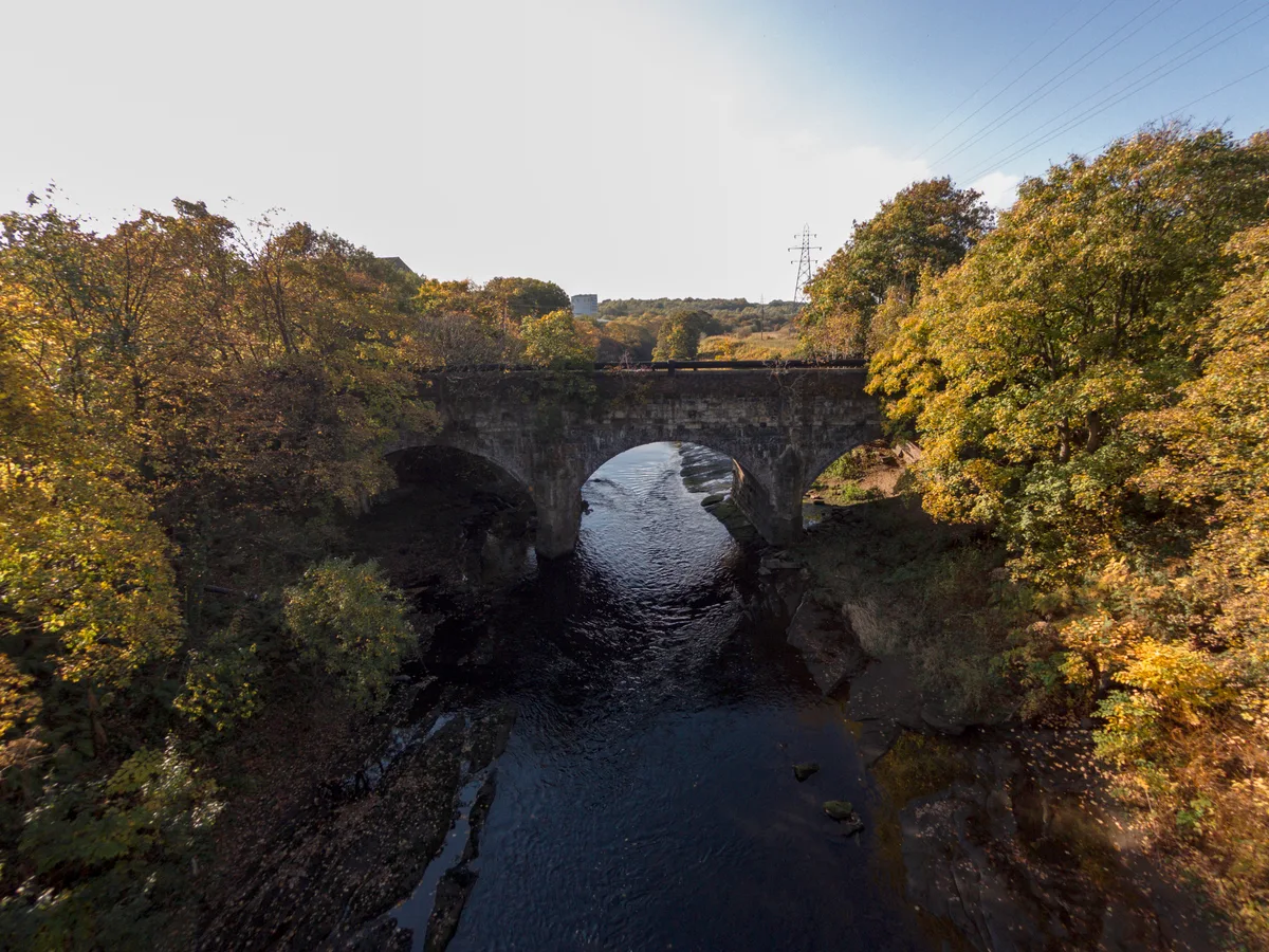
📷 5Aqueducts · North West England
Clifton Aqueduct
Clifton Aqueduct — grade II listed bridge in the United Kingdom.
 📷 5
📷 5Historic bridges · North West England
Clifton Aqueduct
Clifton Aqueduct is a historic bridge in the United Kingdom.
 📷 5
📷 5Castles · North West England
Clifton, Greater Manchester
Clifton is a suburb of Swinton, in the Salford district, in Greater Manchester, England. It lies along the edge of Irwell Valley in the north of the City of Salford. Historically in Lancashire, it was
 📷 3
📷 3Historic bridges · North West England
Clifton Viaduct
Clifton Viaduct is a historic bridge in the United Kingdom.
Mountain bike trails · North West England
Philips Park Waterdale Trail
Philips Park Waterdale Trail — a mtb trail in england north west.
 📷 5
📷 5Natural landmarks · North West England
Salford Home Tuition Services
Salford Home Tuition Services — a school heritage in england-north-west, United Kingdom.
More places in this region
 📷 3
📷 3Canals · North West England
Douglas Navigation
Douglas Navigation is a canal in the United Kingdom.
 📷 5
📷 5Canals · North West England
Fairbottom Branch Canal
Fairbottom Branch Canal is a canal in the United Kingdom.
 📷 3
📷 3Canals · North West England
Haslingden Canal
Haslingden Canal is a canal in the United Kingdom.
 📷 5
📷 5Canals · North West England
Huddersfield Narrow Canal
Huddersfield Narrow Canal — canal in northern England.
Frequently asked questions
- Where is Fletcher's Canal?
- Fletcher's Canal is in North-West England, United Kingdom (postcode M27 8JJ), in the parish of Salford, unparished area.
- When was Fletcher's Canal built?
- Built or established in 1800.
- Is Fletcher's Canal free to visit?
- Yes, Fletcher's Canal is free to enter.
- How do I get to Fletcher's Canal?
- The nearest railway station is Clifton, about 0.6 km away. Drivers can navigate to postcode M27 8JJ.