Parks · North West England
Philips Park
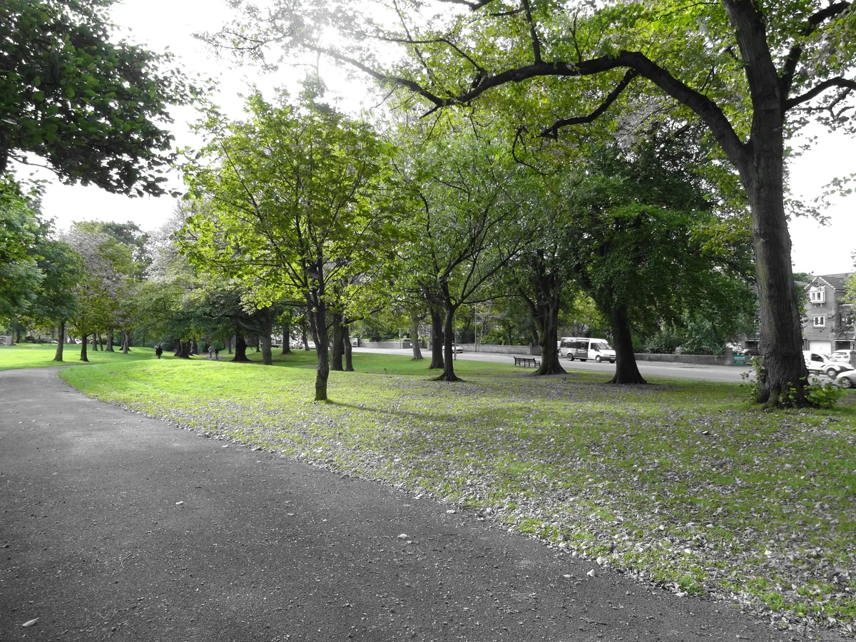
Philips Park — area of parkland in Prestwich, Greater Manchester, UK.

Wikimedia Commons licence
Plan your visit
- Typical visit
- 1 h–2 h
- Nearest railway station
- Clifton · 1.2 km
- Free entry
- Family-friendly
- Dog-friendly
About
Philips Park is a public park in the United Kingdom. Wikidata describes it as: "area of parkland in Prestwich, Greater Manchester, UK". Coordinates: 53.5326°, -2.3075°.
Photo gallery
From the Wikipedia article
Philips Park is an area of parkland situated within the Metropolitan Borough of Bury on the boundary of Whitefield and Prestwich, in Greater Manchester. The park consists of rich woodland and grassland habitat and is home to an assortment of wildlife. Two thirds of the site was once the Philips family estate, and the remainder, known as Waterdale, is Irwell Valley land reclaimed following the demolition of two bleach and dye works. The park is a local nature reserve. The park is also home to the Barn Countryside Centre. The visitor centre hosts many events for all ages, including willow weaving and pottery workshops, pond dipping and woodland management training courses.
Excerpt from Wikipedia under CC BY-SA 4.0. See the source article linked in Sources below.
Background
History
The park owes its name to the Philips family, who owned the land between 1799 and 1948. The land, which was originally part of the medieval Pilkington Park deer park was purchased by Robert Philips of the textile firm J. & N. Philips, in 1798. Robert and his wife Ann had two sons (the politicians Mark Philips and Robert Philips), and nine daughters. Responsible for the construction of the buildings, the Philips family also retained some natural and man-made features when landscaping the area. These included the ancient woodlands of North Wood, Mid Wood, Mere Clough, and a Medieval Deer pale marking the southern and eastern boundaries. The Liberal Party politician Mark Philips was born in…
Description
Completed by Robert Philips in 1830, "the park" was the family's main residence. Built in the Italian villa style and furnished by Robert Gillow, the house was situated close to a steep bank which sheltered it from the north. The front was well proportioned and the back faced onto a lawn. The house fell into disrepair and was demolished in 1950. The area where it stood is now occupied by a car park. Access to the park was originally from Park Lane. In 1852 a viaduct was built enabling carriages to be driven directly from Bury New Road, along Philips Park Road, to the park. The viaduct became unsafe and was closed off for many years before being demolished by the Royal Engineers in a…
Visiting
Vehicular access to the park is by Park Lane, northwest of Junction 17 of the M60 motorway. The North Lodge of the park is located on the junction of Park lane and Philips Park Road. The lane crosses the motorway over a bridge. Access is also possible by foot or cycle by the multitude of old roads and trails around the park perimeter.
Sourced from Wikipedia under CC BY-SA 4.0.
- Coordinates
- 53.5326, -2.3075
- District
- Bury
- Parish
- Bury, unparished area
- Postcode
- M45 7QJ
- Parliamentary constituency
- Bury South
- Nearest railway station
- Clifton — 1.2 km
Sources
- wikidata: Q7185526 (CC0)
- wikipedia: Philips Park, Prestwich (CC BY-SA 4.0)
Other places nearby
Loading nearby places…
Nearby
Mountain bike trails · North West England
Philips Park Figure 8 trail
Philips Park Figure 8 trail — a mtb trail in england north west.
Mountain bike trails · North West England
Philips Park Waterdale Trail
Philips Park Waterdale Trail — a mtb trail in england north west.
 📷 3
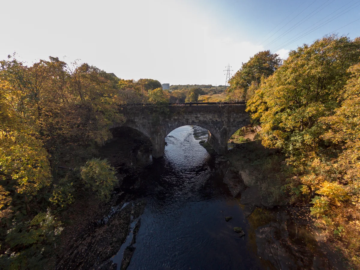
📷 3Historic bridges · North West England
Clifton Viaduct
Clifton Viaduct is a historic bridge in the United Kingdom.
 📷 5
📷 5Historic bridges · North West England
Clifton Aqueduct
Clifton Aqueduct is a historic bridge in the United Kingdom.
 📷 5
📷 5Aqueducts · North West England
Clifton Aqueduct
Clifton Aqueduct — grade II listed bridge in the United Kingdom.
 📷 5
📷 5Historic churches · North West England
Chabad Lubervitch
Chabad Lubervitch — a church in england-north-west, United Kingdom.
More parks in this region
 📷 3
📷 3Parks · North West England
Barrow Park
Barrow Park — public park in Barrow-in-Furness, Cumbria, England, UK.
 📷 5
📷 5Parks · North West England
Corporation Park
Corporation Park — park in Blackburn, Lancashire, England, UK.
 📷 3
📷 3Parks · North West England
Miller Park
Miller Park — park in Preston, Lancashire, England, UK.
 📷 3
📷 3Parks · North West England
Moor Park
Moor Park — park in Preston, Lancashire, England, UK.
Frequently asked questions
- Where is Philips Park?
- Philips Park is in North-West England, United Kingdom (postcode M45 7QJ), in the parish of Bury, unparished area.
- Is Philips Park free to visit?
- Yes, Philips Park is free to enter.
- How do I get to Philips Park?
- The nearest railway station is Clifton, about 1.2 km away. Drivers can navigate to postcode M45 7QJ.