Towns & cities · Yorkshire & the Humber
Dunnington
Dunnington — village and civil parish in York, North Yorkshire, United Kingdom.

Wikimedia Commons contributors — see linked file page for photographer and licence licence
Plan your visit
- Typical visit
- 3 h–6 h
- Nearest railway station
- Murton Park · 2.0 km
- Free entry
- Family-friendly
- Dog-friendly
About
Dunnington is a town, city, village or settlement in the United Kingdom. Recent population estimates put it at around 3,194 people. Address: YO19. Wikidata describes it as: "village and civil parish in York, North Yorkshire, United Kingdom". Coordinates: 53.9654°, -0.9787°.
Photo gallery
From the Wikipedia article
Dunnington is a village and civil parish in the City of York and ceremonial county of North Yorkshire, England. The population of the civil parish was 3,230 at the 2011 census. The village is approximately 4 miles (6 km) east from York city centre. The parish includes the hamlet of Grimston. The village was historically part of the East Riding of Yorkshire until 1974. It was then a part of the Selby District in North Yorkshire from 1974 until 1996. Since 1996 it has been part of the City of York unitary authority.
Excerpt from Wikipedia under CC BY-SA 4.0. See the source article linked in Sources below.
Background
History
Dunnington village was an Anglo-Saxon settlement, and was listed in the 1086 Domesday Book as "Donniton", which, according to Mills, translates as an "estate associated with a man called Dun(n)a". The fields around the village became the country's major area for growing chicory. On 1 April 1935 the civil parish of Grimston was abolished and merged with Dunnington. Between 1913 and 1926 Dunnington was served by passenger trains on the Derwent Valley Light Railway, and the remaining goods-only railway was withdrawn in stages following the Beeching Axe. Steam trains ran to Dunnington on this line between 1977 and 1979, but following the closure of a crop drying facility the last tracks…
Sourced from Wikipedia under CC BY-SA 4.0.
- Coordinates
- 53.9654, -0.9787
- District
- York
- Parish
- Dunnington
- Postcode
- YO19
- Parliamentary constituency
- York Outer
- Population
- 3,194
- Nearest railway station
- Murton Park — 2 km
Sources
- wikidata: Q634285 (CC0)
- wikipedia: Dunnington (CC BY-SA 4.0)
- commons: York Street, Dunnington.jpg (CC BY-SA 4.0)
Other places nearby
Loading nearby places…
Nearby
Caravan parks · Yorkshire & the Humber
Ashfield Touring Caravan Park
Ashfield Touring Caravan Park — a caravan park in england yorkshire.
 📷 4
📷 4Towns & cities · Yorkshire & the Humber
Holtby
Holtby — village and civil parish in North Yorkshire, United Kingdom.
 📷 3
📷 3Memorials & monuments · Yorkshire & the Humber
Halifax W1228 Memorial
Halifax W1228 Memorial — a memorial in england-yorkshire, United Kingdom.
Campsites · Yorkshire & the Humber
Belle Vista Glamping & Camping
Belle Vista Glamping & Camping — a campsite in england yorkshire.
 📷 5
📷 5Museums · Yorkshire & the Humber
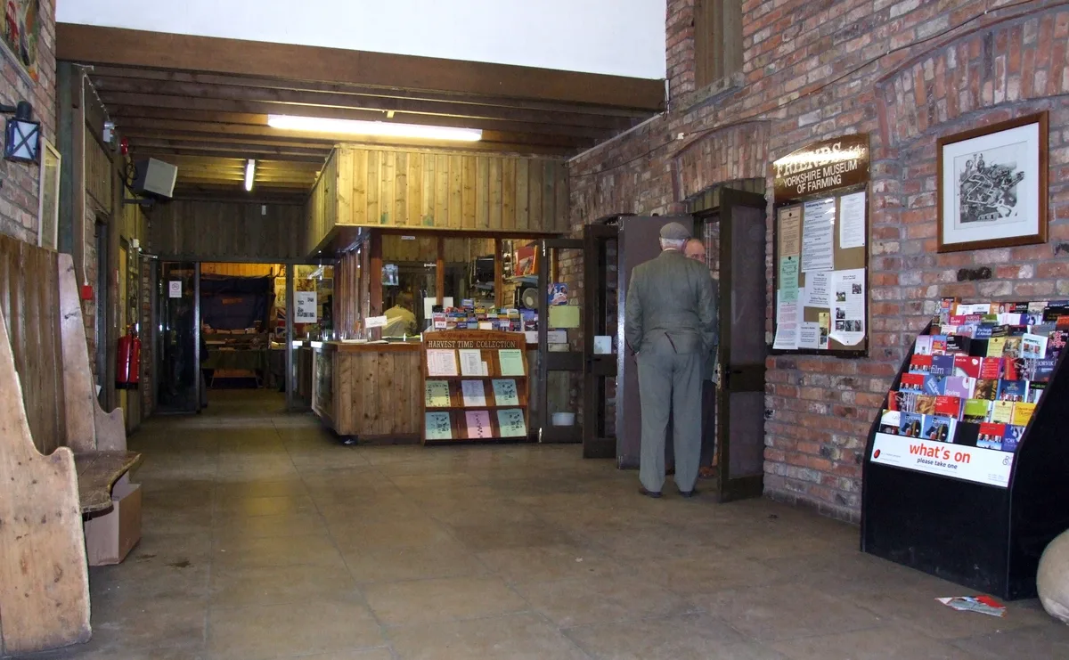
Yorkshire Museum of Farming
Yorkshire Museum of Farming — farming museum, living history centre in York, England, United Kingdom.
 📷 5
📷 5Other places · Yorkshire & the Humber
Murton, North Yorkshire
Murton, North Yorkshire — a other in england-yorkshire, United Kingdom.
More towns in this region
 Flagship📷 4
Towns & cities · Yorkshire & the Humber
Bradford
Bradford — city and largest settlement in the City of Bradford district, Yorkshire, England.
 Flagship📷 5
Towns & cities · Yorkshire & the Humber
Coxwold
Coxwold — village and civil parish in North Yorkshire, England.
 Flagship📷 5
Towns & cities · Yorkshire & the Humber
Great Ayton
Great Ayton — village in North Yorkshire, England, UK.
May2005.jpg?width=1200) Flagship📷 5
Flagship📷 5Towns & cities · Yorkshire & the Humber
Great Langton
Great Langton — village in North Yorkshire, England, UK.
Frequently asked questions
- Where is Dunnington?
- Dunnington is in Yorkshire, United Kingdom (postcode YO19), in the parish of Dunnington.
- Is Dunnington free to visit?
- Yes, Dunnington is free to enter.
- How do I get to Dunnington?
- The nearest railway station is Murton Park, about 2.0 km away. Drivers can navigate to postcode YO19.