Archaeological sites · Northern Ireland
Donard Forest
Donard Forest is a archaeological site in the United Kingdom.

Wikimedia Commons contributors — see linked file page for photographer and licence licence
_-_geograph.org.uk_-_467058.jpg)
Plan your visit
- Typical visit
- 45 min–1.5 h
- Free entry
- Dog-friendly
About
Donard Forest is an archaeological site in the United Kingdom. Coordinates: 54.2030°, -5.9020°. This entry is part of The Great Britain Guide, a free, ad-free, open-data tourist directory.
Photo gallery
From the Wikipedia article
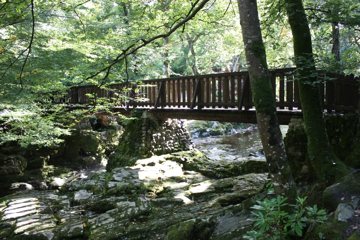
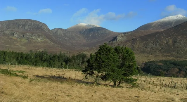
Donard Forest is located near Newcastle, County Down, Northern Ireland. It borders Donard Park at the foot of the Mourne Mountains. The Glen River flows through the forest where it is crossed by three stone bridges. The north east section of the forest contains a Heritage Stand of Scots and Corsican pine planted in 1927. A south east section, beside the Glen River, was the former site of Donard Lodge, built in the 1830s and later demolished. There are a number of exotic trees in the area surrounding the site of the house, including Giant Redwoods and Monkey Puzzles.
Excerpt from Wikipedia under CC BY-SA 4.0. See the source article linked in Sources below.
Background
History
A south east section, beside the Glen River, was the former site of Donard Lodge. The lodge was built in the 1830s by the Annesley family and demolished in 1966 after falling into ruin. A small brick and stone ice house near the river remains, having been used to store fish and ice for the lodge. The Annesleys planted a number of exotic trees in the area surrounding the house, including Giant Redwoods and Monkey Puzzles.
Sourced from Wikipedia under CC BY-SA 4.0.
- Coordinates
- 54.2030, -5.9020
- District
- Newry, Mourne and Down
- Postcode
- BT33 0GR
- Parliamentary constituency
- South Down
Sources
- wikidata: Q19461372 (CC0)
- wikipedia: Donard Forest (CC BY-SA 4.0)
- commons: A path in Donard Forest, Newcastle (2) - geograph.org.uk - 467058.jpg (CC BY-SA 4.0)
Other places nearby
Loading nearby places…
Nearby
 📷 4
📷 4Parks · Northern Ireland
Donard Park
Donard Park in Northern Ireland, United Kingdom.
 📷 3
📷 3Public art & sculpture · Northern Ireland
Cone of Light
Cone of Light — a public art in northern-ireland, United Kingdom.
 📷 3
📷 3Public art & sculpture · Northern Ireland
Global Journeys
Global Journeys — a public art in northern-ireland, United Kingdom.
 📷 3
📷 3Public art & sculpture · Northern Ireland
Midnight Tentacles
Midnight Tentacles — a public art in northern-ireland, United Kingdom.
 📷 3
📷 3Galleries · Northern Ireland
Spy Pond Photo Space
Spy Pond Photo Space — a gallery in northern-ireland, United Kingdom.
 📷 3
📷 3Natural landmarks · Northern Ireland
Shimna Integrated College
Shimna Integrated College in Northern Ireland, United Kingdom.
More archaeological sites in this region
 Flagship📷 5
Archaeological sites · Northern Ireland
Tollymore Forest Park
Tollymore Forest Park — park in the United Kingdom.
 📷 3
📷 3Archaeological sites · Northern Ireland
Annalong Forest
Annalong Forest — Forest in County Down, Northern Ireland.
 📷 3
📷 3Archaeological sites · Northern Ireland
Ballysallagh Forest
Ballysallagh Forest — forest in Northern Ireland.
 📷 3
📷 3Archaeological sites · Northern Ireland
Castleward Forest
Castleward Forest — castleward Forest: Northern Ireland.
Frequently asked questions
- Where is Donard Forest?
- Donard Forest is in Northern Ireland, United Kingdom (postcode BT33 0GR).
- Who owns Donard Forest?
- Donard Forest is owned by Forest Service Northern Ireland.
- How do I get to Donard Forest?
- Drivers can navigate to postcode BT33 0GR. It sits within the South Down parliamentary constituency.