Archaeological sites · Northern Ireland
Ballysallagh Forest
Ballysallagh Forest — forest in Northern Ireland.

Wikimedia Commons contributors — see linked file page for photographer and licence licence
Plan your visit
- Typical visit
- 45 min–1.5 h
- Nearest railway station
- Seahill · 4.3 km
- Free entry
- Dog-friendly
About
Ballysallagh Forest is an archaeological site in the United Kingdom. Wikidata describes it as: "forest in Northern Ireland". Coordinates: 54.6224°, -5.7586°.
Photo gallery
From the Wikipedia article
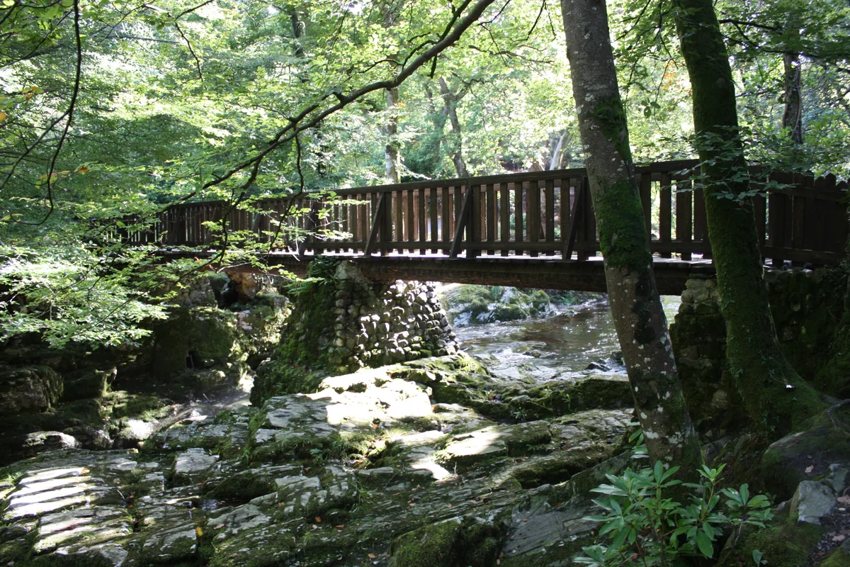
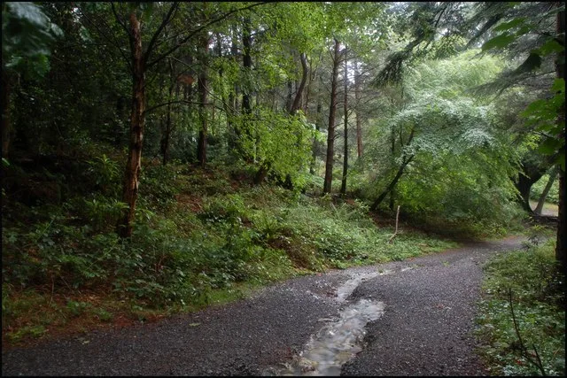
Ballysallagh Forest is a predominantly coniferous forest located near Bangor, Northern Ireland. It has a small section of broadleaved trees at Cairn Wood. The forest is managed by the Forest Service Northern Ireland. In October 2014 more than 20 hectares (representing approximately 7000 trees) were felled in an attempt to control an outbreak of the tree disease Phytophthora ramorum. The affected area included Cairn Wood which is popular with walkers.
Excerpt from Wikipedia under CC BY-SA 4.0. See the source article linked in Sources below.
- Coordinates
- 54.6224, -5.7586
- District
- Ards and North Down
- Postcode
- BT23 4TE
- Parliamentary constituency
- North Down
- Nearest railway station
- Seahill — 4.3 km
Sources
- wikidata: Q22000069 (CC0)
- wikipedia: Ballysallagh Forest (CC BY-SA 4.0)
- commons: Ballysallagh forest, Craigantlet - geograph.org.uk - 221697.jpg (CC BY-SA 4.0)
Other places nearby
Loading nearby places…
Nearby

Natural landmarks · Northern Ireland
Craigantlet Hillclimb
Craigantlet Hillclimb in Northern Ireland, United Kingdom.
 📷 3
📷 3Windmills · Northern Ireland
Windmill Stump
Windmill Stump is a windmill in the United Kingdom.
 📷 3
📷 3Historic houses · Northern Ireland
Killysuggan Graveyard
Killysuggan Graveyard — a historic house in northern-ireland, United Kingdom.
 📷 5
📷 5Reservoirs & lochs · Northern Ireland
Clandeboye Estate
The Clandeboye Estate is a country estate in Bangor, County Down, Northern Ireland, 12 miles (19 km) outside Belfast. Covering 2,000 acres (8.1 km2), it contains woodlands, formal and walled gardens,
📷 4Natural landmarks · Northern Ireland
Clandeboye
Clandeboye in Northern Ireland, United Kingdom.
_-_geograph.org.uk_-_524223.jpg?width=1200) 📷 5
📷 5Towns & cities · Northern Ireland
Crawfordsburn
Crawfordsburn — village in County Down, Northern Ireland, UK.
More archaeological sites in this region
 Flagship📷 5
Archaeological sites · Northern Ireland
Tollymore Forest Park
Tollymore Forest Park — park in the United Kingdom.
 📷 3
📷 3Archaeological sites · Northern Ireland
Annalong Forest
Annalong Forest — Forest in County Down, Northern Ireland.
 📷 3
📷 3Archaeological sites · Northern Ireland
Castleward Forest
Castleward Forest — castleward Forest: Northern Ireland.
 📷 4
📷 4Archaeological sites · Northern Ireland
Donard Forest
Donard Forest is a archaeological site in the United Kingdom.
Frequently asked questions
- Where is Ballysallagh Forest?
- Ballysallagh Forest is in Northern Ireland, United Kingdom (postcode BT23 4TE).
- Who owns Ballysallagh Forest?
- Ballysallagh Forest is owned by Forest Service Northern Ireland.
- How do I get to Ballysallagh Forest?
- The nearest railway station is Seahill, about 4.3 km away. Drivers can navigate to postcode BT23 4TE.