Archaeological sites · Northern Ireland
Castleward Forest
Castleward Forest — castleward Forest: Northern Ireland.

Wikimedia Commons licence
Plan your visit
- Typical visit
- 45 min–1.5 h
- Nearest railway station
- Delamont · 5.6 km
- Free entry
- Dog-friendly
About
Castleward Forest is an archaeological site in the United Kingdom. Wikidata describes it as: "castleward Forest: Northern Ireland". Coordinates: 54.3649°, -5.5957°.
Photo gallery
From the Wikipedia article
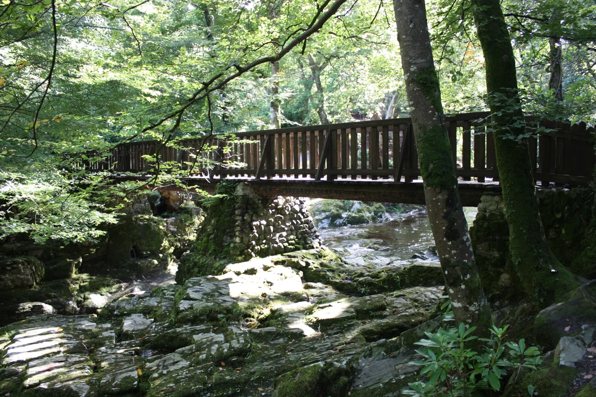
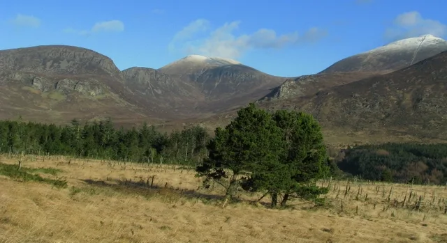
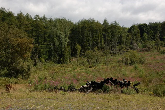
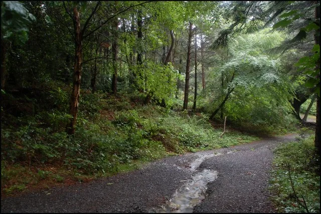
Castleward Forest is a woodland located beside Castle Ward near Strangford, Northern Ireland. It consists of coniferous and deciduous trees. The forest is managed by the National Trust.
Excerpt from Wikipedia under CC BY-SA 4.0. See the source article linked in Sources below.
- Coordinates
- 54.3649, -5.5957
- District
- Newry, Mourne and Down
- Postcode
- BT30 7JU
- Parliamentary constituency
- Strangford
- Nearest railway station
- Delamont — 5.6 km
Sources
- wikidata: Q22000571 (CC0)
- wikipedia: Castleward Forest (CC BY-SA 4.0)
Other places nearby
Loading nearby places…
Nearby
 📷 5
📷 5Castles · Northern Ireland
Castle Ward
Castle Ward in Northern Ireland, United Kingdom.
 📷 3
📷 3Castles · Northern Ireland
Castle Ward House
Castle Ward House — a castle in northern-ireland, United Kingdom.
 📷 3
📷 3Burial mounds & barrows · Northern Ireland
Audleystown Cairn
Audleystown Cairn — a burial mound in northern-ireland, United Kingdom.
📷 4Natural landmarks · Northern Ireland
Audleystown Court Cairn
Audleystown Court Cairn in Northern Ireland, United Kingdom.
 📷 5
📷 5Follies · Northern Ireland
The Temple Above Temple Water
The Temple Above Temple Water — a temple folly in northern-ireland, United Kingdom.
Campsites · Northern Ireland
Castle Ward Caravan Park
Castle Ward Caravan Park — a campsite in northern ireland.
More archaeological sites in this region
 Flagship📷 5
Archaeological sites · Northern Ireland
Tollymore Forest Park
Tollymore Forest Park — park in the United Kingdom.
 📷 3
📷 3Archaeological sites · Northern Ireland
Annalong Forest
Annalong Forest — Forest in County Down, Northern Ireland.
 📷 3
📷 3Archaeological sites · Northern Ireland
Ballysallagh Forest
Ballysallagh Forest — forest in Northern Ireland.
 📷 4
📷 4Archaeological sites · Northern Ireland
Donard Forest
Donard Forest is a archaeological site in the United Kingdom.
Frequently asked questions
- Where is Castleward Forest?
- Castleward Forest is in Northern Ireland, United Kingdom (postcode BT30 7JU).
- Who owns Castleward Forest?
- Castleward Forest is owned by National Trust.
- How do I get to Castleward Forest?
- The nearest railway station is Delamont, about 5.6 km away. Drivers can navigate to postcode BT30 7JU.