Reservoirs & lochs · North Wales
Carr Mill Dam
Carr Mill Dam is a reservoir in the United Kingdom.

Wikimedia Commons licence
Plan your visit
- Typical visit
- 1 h–2.5 h
- Nearest railway station
- St Helens Central · 2.9 km
- Free entry
- Dog-friendly
About
Carr Mill Dam is a reservoir in the United Kingdom. Named after Carr Mill. Coordinates: 53.4770°, -2.7150°. This entry is part of The Great Britain Guide, a free, ad-free, open-data tourist directory.
Photo gallery
From the Wikipedia article
Carr Mill Dam is situated north of St Helens town centre, on the A571 (Carr Mill Road), in Merseyside. At 55 acres, it is the largest body of inland water in the area, and offers picturesque lakeside trails and walks, as well as national competitive powerboating and angling events. It is home of Lancashire Powerboat Racing Club established in 1923 where club, national and international powerboat racing takes place. The name Carr Mill traditionally came from the Norse word 'Carr' meaning marsh or fen. Once simply a mill pond built to power a corn mill, the dam is shown on William Yates's 1786 Map of Lancashire, with the mill adjacent. The land itself belonged to the Gerard family and a lease details the permissions and extent of use of the occupants. The waters were expanded significantly in the 1750s in order to provide water to the Sankey Brook Navigation, about a mile away. The dam was further enlarged by the London and North Western Railway during construction and cast iron marker posts are still visible at two points around the dam.
Excerpt from Wikipedia under CC BY-SA 4.0. See the source article linked in Sources below.
- Coordinates
- 53.4770, -2.7150
- District
- St. Helens
- Parish
- Seneley Green
- Postcode
- WA11 7LZ
- Parliamentary constituency
- St Helens North
- Nearest railway station
- St Helens Central — 2.9 km
Sources
- wikidata: Q5045976 (CC0)
- wikipedia: Carr Mill Dam (CC BY-SA 4.0)
Other places nearby
Loading nearby places…
Nearby
 📷 3
📷 3Historic bridges · North Wales
Carr Mill Viaduct
Carr Mill Viaduct is a historic bridge in the United Kingdom.
 📷 3
📷 3Historic bridges · North Wales
Carr Mill Bridge
Carr Mill Bridge is a historic bridge in the United Kingdom.
 📷 3
📷 3Historic houses · North Wales
Stanley Mill
Stanley Mill — a historic house in wales-north, United Kingdom.
 📷 3
📷 3Historic bridges · North Wales
Park Road Bridge
Park Road Bridge is a historic bridge in the United Kingdom.
 📷 3
📷 3Historic bridges · North Wales
Parr Bridge
Parr Bridge is a historic bridge in the United Kingdom.
 📷 5
📷 5Parks · North Wales
Victoria Park, St Helens
Victoria Park, St Helens — a park in wales-north, United Kingdom.
More places in this region
 Flagship📷 4
Reservoirs & lochs · North Wales
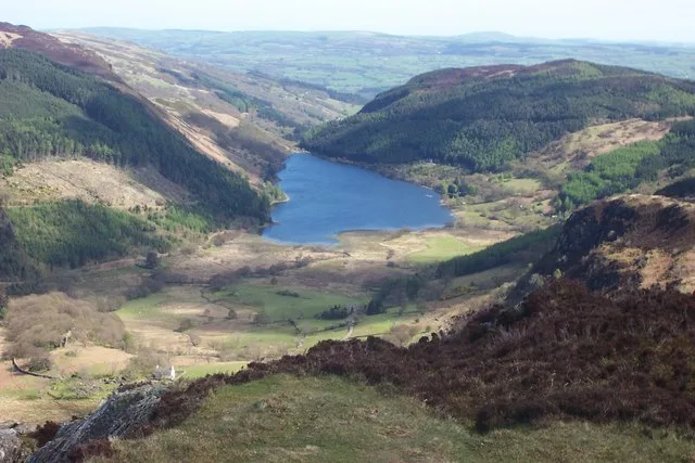
Llyn Crafnant
Llyn Crafnant — lake in Conwy County Borough, Wales.
 Flagship📷 3
Reservoirs & lochs · North Wales
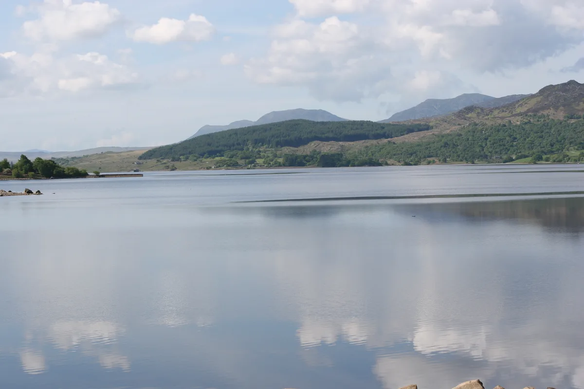
Llyn Trawsfynydd
Llyn Trawsfynydd — reservoir lake in Gwynedd, Wales.
 📷 3
📷 3Reservoirs & lochs · North Wales
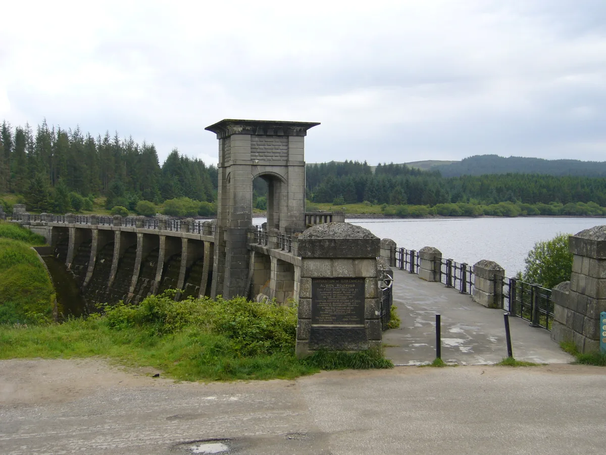
Alwen Reservoir
Alwen Reservoir — reservoir in the United Kingdom.
 📷 4
📷 4Reservoirs & lochs · North Wales
Coedty Reservoir
Coedty Reservoir — reservoir in the United Kingdom.
Frequently asked questions
- Where is Carr Mill Dam?
- Carr Mill Dam is in North Wales, in the United Kingdom — coordinates 53.4770°, -2.7150°. The nearest railway station is St Helens Central, around 2.9 km away.
- Is Carr Mill Dam free to visit?
- Yes — admission to Carr Mill Dam is free.