Towns & cities · North Wales
Burtonwood
Burtonwood — village in Burtonwood and Westbrook, Cheshire, UK.

Wikimedia Commons contributors — see linked file page for photographer and licence licence
Plan your visit
- Typical visit
- 3 h–6 h
- Nearest railway station
- St Helens Junction · 2.6 km
- Free entry
- Family-friendly
- Dog-friendly
About
Burtonwood is a town, city, village or settlement in the United Kingdom. Recent population estimates put it at around 11,265 people. Address: WA5. Wikidata describes it as: "village in Burtonwood and Westbrook, Cheshire, UK". Coordinates: 53.4302°, -2.6614°.
Photo gallery
From the Wikipedia article
Burtonwood is a village in the civil parish of Burtonwood and Westbrook, in the Borough of Warrington, Cheshire, England. Within the boundaries of the historic county of Lancashire, the name Burtonwood is known worldwide as the location of the former RAF Station Burtonwood military camp. Burtonwood village itself is a few miles away from the site of the former station. The civil parish also includes Westbrook, which is a council ward and suburb of Warrington. At the 2001 census, the population of the civil parish was 11,265.
Excerpt from Wikipedia under CC BY-SA 4.0. See the source article linked in Sources below.
Background
History
Burtonwood was a chapelry in the ancient parish of Warrington, in the West Derby Hundred of Lancashire. It was later created a civil parish and was part of the Warrington Poor Law Union and then the Warrington Rural District. By 1974 the village of Burtonwood became part of Warrington District and is now part of the Warrington Unitary Authority. It is still a civil parish (now named Burtonwood and Westbrook) and thus has its own parish council. Burtonwood's population rose from 990 in 1861 to 2,408 in 1911 as the mining and brewing industries grew. The village of Burtonwood saw its greatest increase in housing and population post 1945 when the locally named 'miners estate' was built and…
Sourced from Wikipedia under CC BY-SA 4.0.
- Coordinates
- 53.4302, -2.6614
- District
- Warrington
- Parish
- Burtonwood and Westbrook
- Postcode
- WA5
- Parliamentary constituency
- Warrington North
- Population
- 11,265
- Nearest railway station
- St Helens Junction — 2.6 km
Sources
- wikidata: Q995213 (CC0)
- wikipedia: Burtonwood (CC BY-SA 4.0)
- commons: St Michael's Church, Burtonwood.jpg (CC BY-SA 4.0)
Other places nearby
Loading nearby places…
Nearby
 📷 3
📷 3Memorials & monuments · North Wales
Colliers Wheel Memorial
Colliers Wheel Memorial — a memorial in wales-north, United Kingdom.
 📷 3
📷 3Public art & sculpture · North Wales
Bolt of Lilghtning (Lockheed P-38F Lightning fighter aircraft)
Bolt of Lilghtning (Lockheed P-38F Lightning fighter aircraft) — a public art in wales-north, United Kingdom.
📷 5Museums · North Wales
RAF Burtonwood
RAF Burtonwood — a museum in wales-north, United Kingdom.
 📷 3
📷 3Canal locks · North Wales
Bradley Lock, Sankey Canal
Bradley Lock, Sankey Canal — grade II listed canal lock in Newton-le-Willows, St. Helens, Merseyside, England, UK.
 📷 5
📷 5Historic bridges · North Wales
Nine Arches
Nine Arches is a historic bridge in the United Kingdom.
 📷 5
📷 5Museums · North Wales
Earlestown
Earlestown ( URLZ-town) is a town contiguous with Newton-le-Willows in the Metropolitan Borough of St Helens, Merseyside, England. At the 2011 Census the town had a population of 10,830. The town's na
More towns in this region
 📷 5
📷 5Towns & cities · North Wales
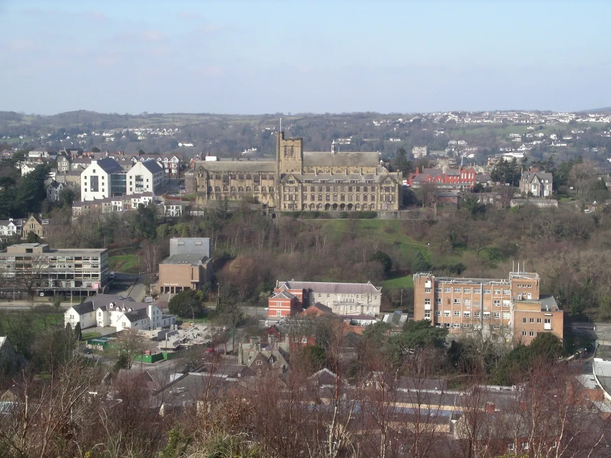
Bangor
Bangor — city in Gwynedd, Wales.
 Flagship📷 3
Towns & cities · North Wales
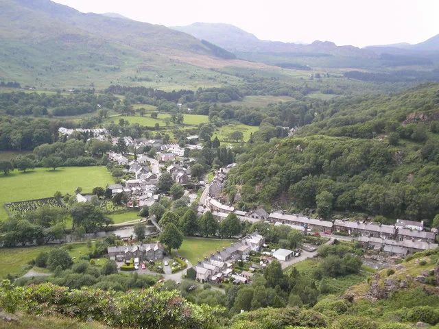
Beddgelert
Beddgelert — village and community in Gwynedd, Wales.
 Flagship📷 5
Towns & cities · North Wales
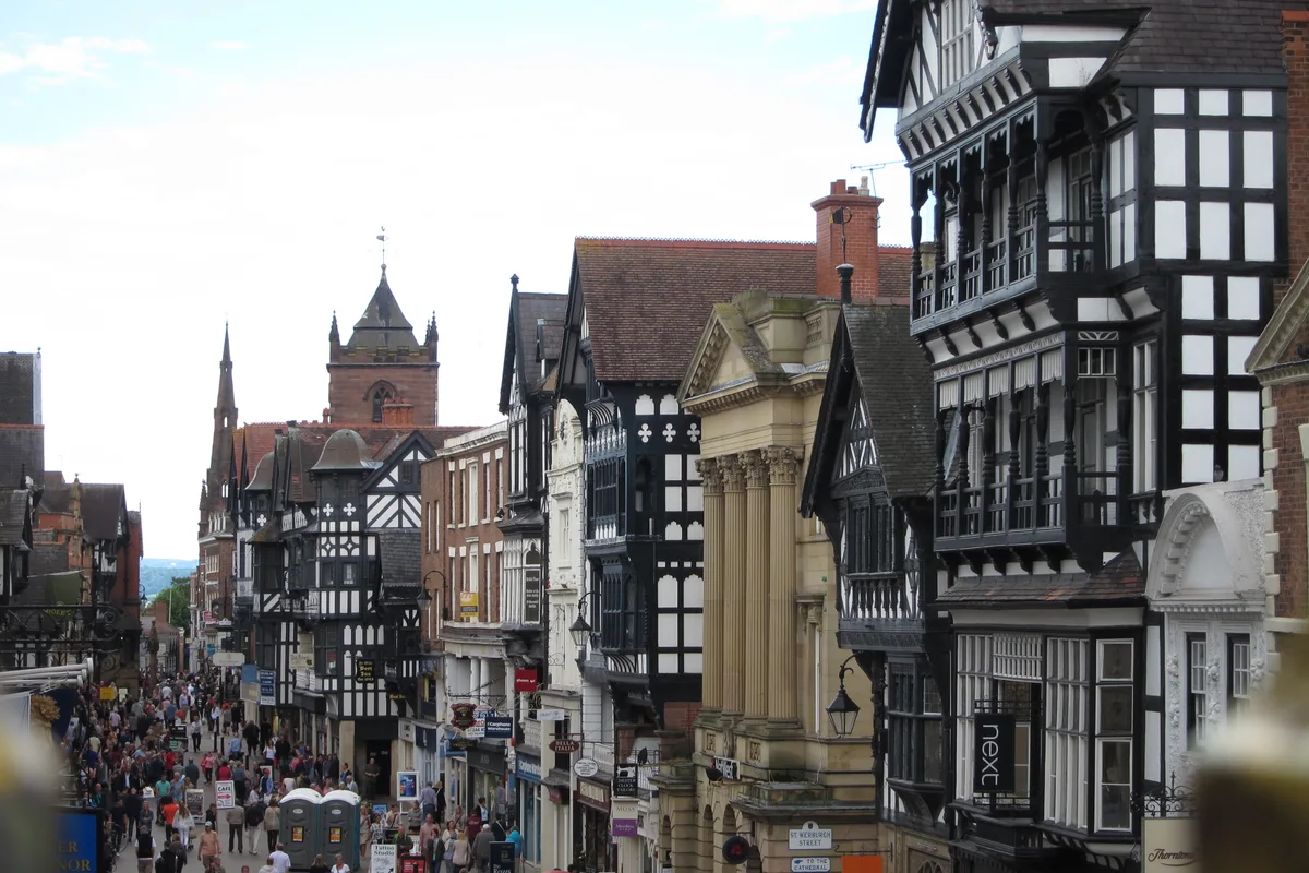
Chester
Chester — city in Cheshire, England.
 Flagship📷 3
Towns & cities · North Wales
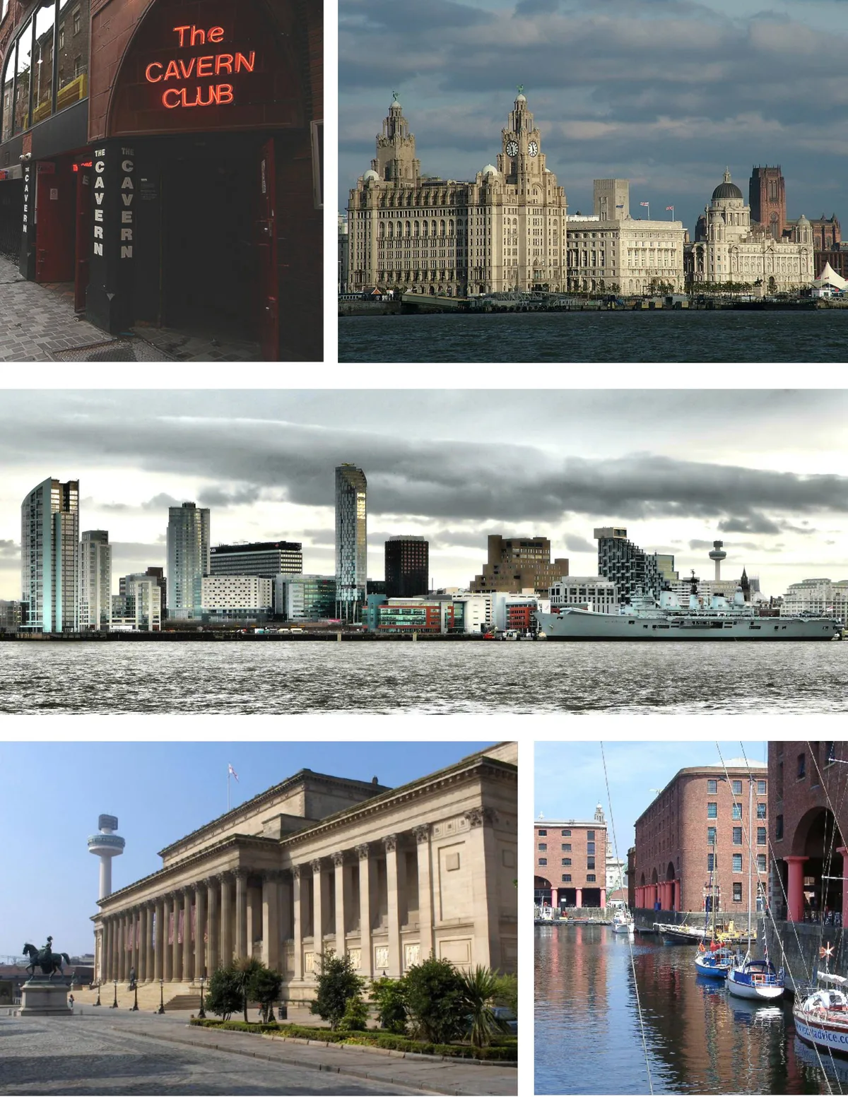
Liverpool
Liverpool — city in Merseyside, England, United Kingdom.
Frequently asked questions
- Where is Burtonwood?
- Burtonwood is in North Wales, United Kingdom (postcode WA5), in the parish of Burtonwood and Westbrook.
- Is Burtonwood free to visit?
- Yes, Burtonwood is free to enter.
- How do I get to Burtonwood?
- The nearest railway station is St Helens Junction, about 2.6 km away. Drivers can navigate to postcode WA5.