Archaeological sites · Scottish Lowlands
Campfield (tower 2b) and associated parallel ditches and Roman road, 350m south west of Campfield Farm part of Roman frontier defences along Cumbrian coast
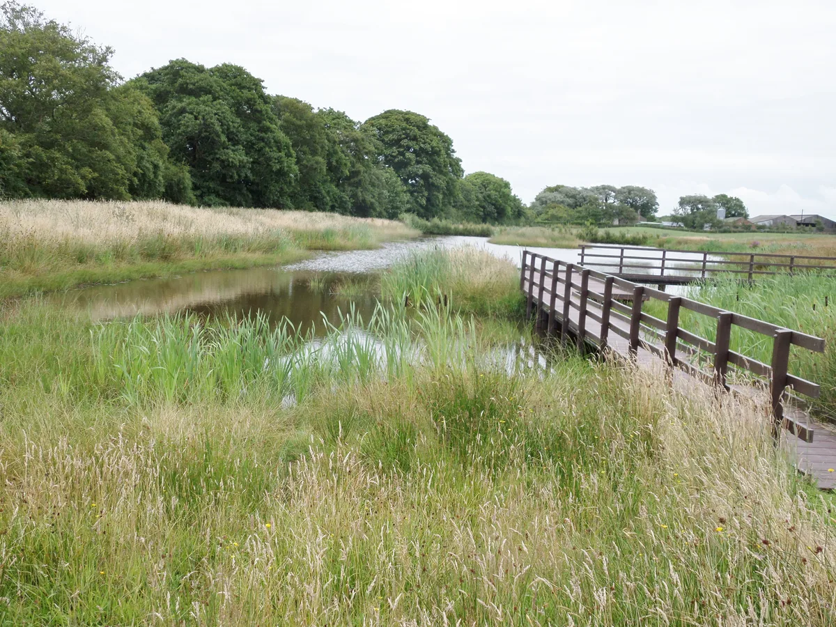
Campfield (tower 2b) and associated parallel ditches and Roman road, 350m south west of Campfield Farm part of Roman frontier defences along Cumbrian coast — archaeological site in Bowness, Allerdale, England, UK.

Alexander P Kapp — CC BY-SA 2.0 via Wikimedia Commons licence
Plan your visit
- Typical visit
- 45 min–1.5 h
- Nearest railway station
- Annan · 5.4 km
- Free entry
- Dog-friendly
About
Campfield (tower 2b) and associated parallel ditches and Roman road, 350m south west of Campfield Farm part of Roman frontier defences along Cumbrian coast is an archaeological site in the United Kingdom. It covers approximately 1 km². Heritage designation: scheduled monument. Part of Hadrian's Wall. Wikidata describes it as: "archaeological site in Bowness, Allerdale, England, UK". Coordinates: 54.9351°, -3.2653°.
Photo gallery
Protected designations
- Site of Special Scientific Interest: Bowness Common SSSI
- Site of Special Scientific Interest: Upper Solway Flats & Marshes SSSI
- National Nature Reserve: SOUTH SOLWAY MOSSES
- Area of Outstanding Natural Beauty: Solway Coast
Designations sourced from Natural England open data under OGL v3.
Place summary
Campfield (tower 2b) and its associated parallel ditches, along with a Roman road, are located 350 metres south-west of Campfield Farm in the Scottish Lowlands. This site is part of the Roman frontier defences along the Cumbrian coast and is designated as a scheduled monument. It is also included in several sites of special scientific interest, such as Bowness Common SSSI and Upper Solway Flats & Marshes SSSI.
AI-generated from the structured facts on this page (operator, designation, listing, era). Not a substitute for visiting.
- Coordinates
- 54.9351, -3.2653
- District
- Cumberland
- Parish
- Bowness
- Postcode
- CA7 5AG
- Parliamentary constituency
- Penrith and Solway
- Nearest railway station
- Annan — 5.4 km
Sources
- wikidata: Q17673706 (CC0)
Other places nearby
Loading nearby places…
Nearby
 📷 3
📷 3Hill forts · Scottish Lowlands
Milefortlet 3
Milefortlet 3 — milefortlet of the Roman Cumbrian Coast defences.
 📷 3
📷 3Wildlife reserves · Scottish Lowlands
Campfield Marsh RSPB reserve
Campfield Marsh RSPB reserve — RSPB nature reserve in United Kingdom.
 📷 3
📷 3Hill forts · Scottish Lowlands
Milefortlet 4
Milefortlet 4 — milefortlet of the Roman Cumbrian Coast defences.

Forests & woodlands · Scottish Lowlands
Campfield Marsh Nature Reserve
Campfield Marsh Nature Reserve is a forest or woodland in the United Kingdom.
 📷 3
📷 3Archaeological sites · Scottish Lowlands
Mile Fortlet 1
Mile Fortlet 1 — a archaeological in scotland-lowlands, United Kingdom.
 📷 3
📷 3Hill forts · Scottish Lowlands
Milefortlet 1
Milefortlet 1 — milefortlet of the Roman Cumbrian Coast defences.
More archaeological sites in this region
 📷 3
📷 3Archaeological sites · Scottish Lowlands
Barcombe Hill Roman signal station
Barcombe Hill Roman signal station — archaeological site in Bardon Mill, Northumberland, England, UK.
 📷 3
📷 3Archaeological sites · Scottish Lowlands
Bibra Roman Fort
Bibra Roman Fort — archaeological site in Holme St Cuthbert, Cumberland, Cumbria , England, UK.
 📷 3
📷 3Archaeological sites · Scottish Lowlands
Birdoswald Roman fort and the section of Hadrian's Wall and vallum between the River Irthing and the field boundaries east of milecastle 50
Birdoswald Roman fort and the section of Hadrian's Wall and vallum between the River Irthing and the field boundaries east of milecastle 50 — archaeological site in Waterhead, Carlisle, England, UK.
 📷 3
📷 3Archaeological sites · Scottish Lowlands
Boomby Lane 1 and 2 Roman temporary camps
Boomby Lane 1 and 2 Roman temporary camps — archaeological site in Beaumont, Carlisle, England, UK.
Frequently asked questions
- Where is Campfield (tower 2b) and associated parallel ditches and Roman road, 350m south west of Campfield Farm part of Roman frontier defences along Cumbrian coast?
- Campfield (tower 2b) and associated parallel ditches and Roman road, 350m south west of Campfield Farm part of Roman frontier defences along Cumbrian coast is in the Scottish Lowlands, United Kingdom (postcode CA7 5AG), in the parish of Bowness.
- Is Campfield (tower 2b) and associated parallel ditches and Roman road, 350m south west of Campfield Farm part of Roman frontier defences along Cumbrian coast a listed building?
- Campfield (tower 2b) and associated parallel ditches and Roman road, 350m south west of Campfield Farm part of Roman frontier defences along Cumbrian coast is officially recognised as scheduled monument listed.
- Is Campfield (tower 2b) and associated parallel ditches and Roman road, 350m south west of Campfield Farm part of Roman frontier defences along Cumbrian coast a protected site?
- Yes — Campfield (tower 2b) and associated parallel ditches and Roman road, 350m south west of Campfield Farm part of Roman frontier defences along Cumbrian coast is part of the Bowness Common SSSI Site of Special Scientific Interest and the Upper Solway Flats & Marshes SSSI Site of Special Scientific Interest.
- How do I get to Campfield (tower 2b) and associated parallel ditches and Roman road, 350m south west of Campfield Farm part of Roman frontier defences along Cumbrian coast?
- The nearest railway station is Annan, about 5.4 km away. Drivers can navigate to postcode CA7 5AG.