Hill forts · Scottish Lowlands
Milefortlet 1
Milefortlet 1 — milefortlet of the Roman Cumbrian Coast defences.

Wikimedia Commons licence
Plan your visit
- Typical visit
- 1 h–2 h
- Nearest railway station
- Annan · 4.5 km
- Free entry
- Dog-friendly
About
Milefortlet 1 is a hill fort in the United Kingdom. It covers approximately 2 km². Heritage designation: scheduled monument. Part of Hadrian's Wall. Wikidata describes it as: "milefortlet of the Roman Cumbrian Coast defences". Coordinates: 54.9461°, -3.2360°.
Photo gallery
Protected designations
- Site of Special Scientific Interest: Bowness Common SSSI
- Site of Special Scientific Interest: Upper Solway Flats & Marshes SSSI
- Area of Outstanding Natural Beauty: Solway Coast
- Ramsar wetland: Upper Solway Flats & Marshes
Designations sourced from Natural England open data under OGL v3.
From the Wikipedia article
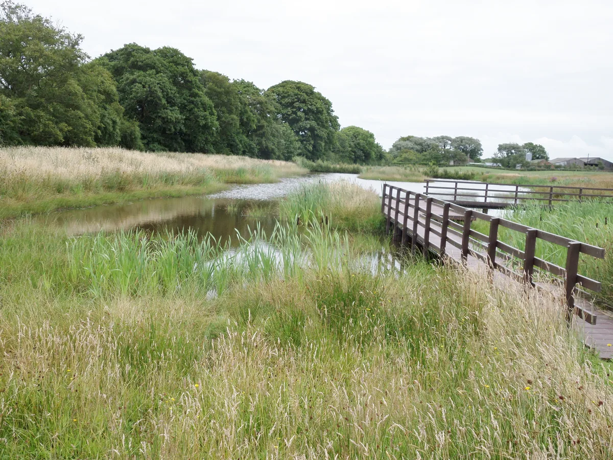
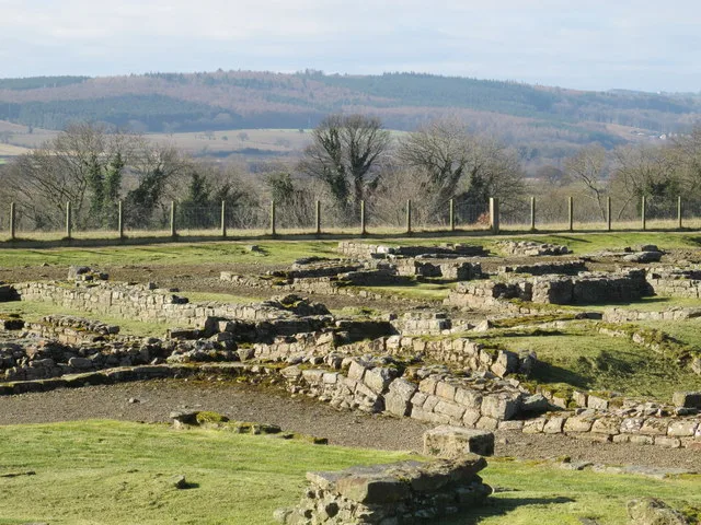
Milefortlet 1 (Biglands House) was a milefortlet of the Roman Cumbrian Coast defences. These milefortlets and intervening stone watchtowers extended from the western end of Hadrian's Wall, along the Cumbrian coast and were linked by a wooden palisade. They were contemporary with defensive structures on Hadrian's Wall. The remains of Milefortlet 1 survive as a slight earthwork.
Excerpt from Wikipedia under CC BY-SA 4.0. See the source article linked in Sources below.
Background
Description
Milefortlet 1 is situated in a field beside Biglands House in the civil parish of Bowness. Aerial photographs show a square platform about 50 metres wide surrounded by ditches. All that can be seen on the ground is a slight ridge defining the north side, and to a lesser extent, the west side.
Sourced from Wikipedia under CC BY-SA 4.0.
- Coordinates
- 54.9461, -3.2360
- District
- Cumberland
- Parish
- Bowness
- Postcode
- CA7 5AG
- Parliamentary constituency
- Penrith and Solway
- Nearest railway station
- Annan — 4.5 km
Sources
- wikidata: Q16247408 (CC0)
- wikipedia: Milefortlet 1 (CC BY-SA 4.0)
Other places nearby
Loading nearby places…
Nearby
 📷 3
📷 3Archaeological sites · Scottish Lowlands
Mile Fortlet 1
Mile Fortlet 1 — a archaeological in scotland-lowlands, United Kingdom.

Forests & woodlands · Scottish Lowlands
Campfield Marsh Nature Reserve
Campfield Marsh Nature Reserve is a forest or woodland in the United Kingdom.
 📷 5
📷 5Towns & cities · Scottish Lowlands
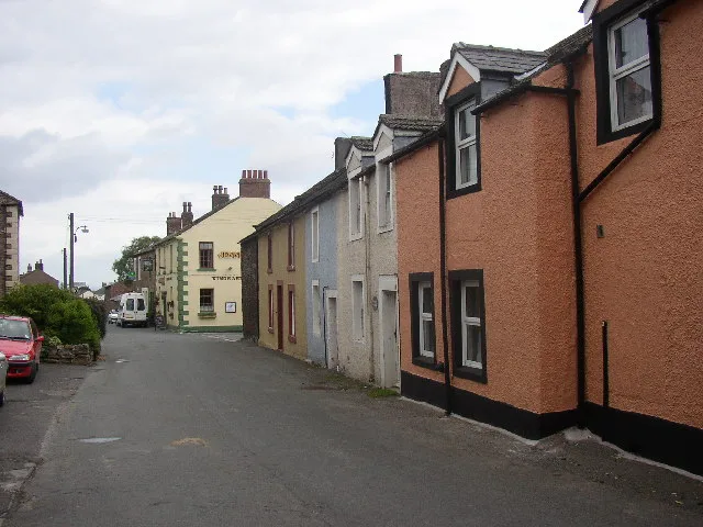
Bowness-on-Solway
Bowness-on-Solway — village in Cumbria, United Kingdom.
 📷 3
📷 3Wildlife reserves · Scottish Lowlands
Campfield Marsh RSPB reserve
Campfield Marsh RSPB reserve — RSPB nature reserve in United Kingdom.
 📷 3
📷 3Archaeological sites · Scottish Lowlands
Maia
Maia — a archaeological in scotland-lowlands, United Kingdom.
 📷 5
📷 5Hill forts · Scottish Lowlands
Maia Roman Fort
Maia Roman Fort — Roman fort (castrum) on Hadrian's Wall.
More places in this region
 📷 3
📷 3Hill forts · Scottish Lowlands
Aesica
Aesica — Roman fort, archaeological site in Northumberland, England, UK.
 📷 3
📷 3Hill forts · Scottish Lowlands
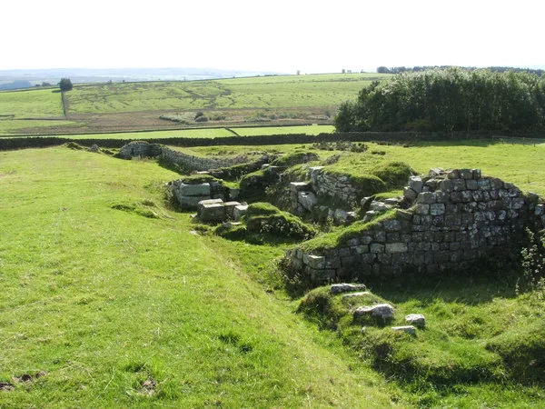
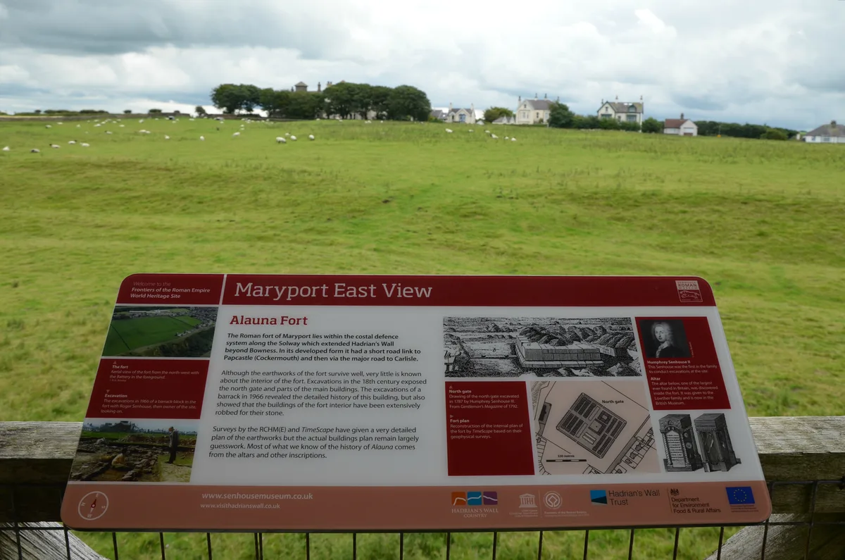
Alauna
Alauna — Roman fort and settlement on the site of present-day Maryport in Cumbria, England, UK.
 📷 4
📷 4Hill forts · Scottish Lowlands
Carrawburgh
Carrawburgh — Roman fort in Northumberland, England, UK.
 📷 3
📷 3Hill forts · Scottish Lowlands
Coria
Coria — archaeological site in Corbridge, Northumberland, England, UK.
Frequently asked questions
- Where is Milefortlet 1?
- Milefortlet 1 is in the Scottish Lowlands, United Kingdom (postcode CA7 5AG), in the parish of Bowness.
- Is Milefortlet 1 a listed building?
- Milefortlet 1 is officially recognised as scheduled monument listed.
- Is Milefortlet 1 a protected site?
- Yes — Milefortlet 1 is part of the Bowness Common SSSI Site of Special Scientific Interest and the Upper Solway Flats & Marshes SSSI Site of Special Scientific Interest.
- Is Milefortlet 1 free to visit?
- Yes, Milefortlet 1 is free to enter.
- How do I get to Milefortlet 1?
- The nearest railway station is Annan, about 4.5 km away. Drivers can navigate to postcode CA7 5AG.