Historic bridges · Yorkshire & the Humber
Bridge Approximately 200 Metres North Of Rough House
Bridge Approximately 200 Metres North Of Rough House — Grade II listed building-listed bridge in england-yorkshire, United Kingdom.

Matthew Hatton — CC BY-SA 2.0 via Wikimedia Commons licence
Plan your visit
- Typical visit
- 15 min–30 min
- Free entry
- Dog-friendly
About
Bridge Approximately 200 Metres North Of Rough House is a Grade II listed building-listed bridge in england-yorkshire, United Kingdom, registered on the National Heritage List for England (NHLE entry 1251503). Listed status protects buildings and structures of special architectural or historic interest. See the linked Wikipedia article for further details.
Photo gallery
Heritage listing
Details SE 26 NE SAWLEY FOUNTAINS ROAD SE 2660 6813 (west side, off) 5/130 Bridge approximately 200 metres north of Rough House 6.3.67 GV II Bridge over River Skell. Mid to late C18, probably for John or William Aislabie of Studley Royal. Ashlar. 3 round arches with keystones and voussoirs; triangular cutwaters, those on downstream side carried up as shallow buttresses with pyramidal capstones on moulded parapet coping. Projecting band at pathway level, terminals to flanking walls. The bridge is a miniature version of the much larger structures of c1780 at Bridge Hewick (qv) and Boroughbridge (qv, repairs by John Carr), and the capstone to the Aldfield Well (qv) is similar in style. The pathway was probably a route from Studley Royal to Rough House and together with Rough House (qv) and Aldfield Well (qv) the bridge forms part of the western extreme of the Studley Royal estate landscaping. Straddles the boundary with Aldfield parish. Listing NGR: SE2659368141 Legacy The contents of this record have been generated from a legacy data system. Legacy System number: 434177 Legacy System: LBS
From the Historic England List Entry under OGL v3.
Place summary
The Bridge Approximately 200 Metres North Of Rough House is a Grade II listed bridge located in the Yorkshire parish of Markington with Wallerthwaite. Its designation reflects its architectural and historical significance within the region.
AI-generated from the structured facts on this page (operator, designation, listing, era). Not a substitute for visiting.
- Coordinates
- 54.1085, -1.5948
- District
- North Yorkshire
- Parish
- Markington with Wallerthwaite
- Postcode
- HG4 3EA
- Parliamentary constituency
- Skipton and Ripon
Sources
- wikidata: Q26543458 (CC0)
Other places nearby
Loading nearby places…
Nearby
 📷 3
📷 3Manor houses · Yorkshire & the Humber
Fountains Hall
Fountains Hall — a manor in england-yorkshire, United Kingdom.
 ★ Iconic📷 3
Watermills · Yorkshire & the Humber
Old Mill House
Old Mill House is a watermill in the United Kingdom.
 📷 3
📷 3Natural landmarks · Yorkshire & the Humber
Swanley Grange
Swanley Grange — a other in england-yorkshire, United Kingdom.
 📷 4
📷 4UNESCO World Heritage · Yorkshire & the Humber
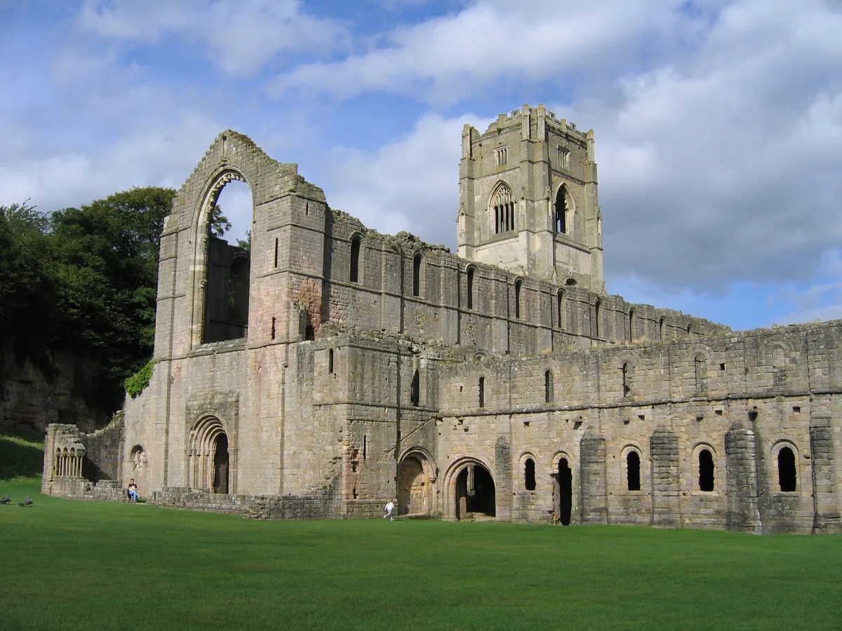
Fountains Abbey
Fountains Abbey — ruined Cistercian abbey in Yorkshire, England, UK.
 📷 4
📷 4Cathedrals · Yorkshire & the Humber
Fountains Abbey
Fountains Abbey is a cathedral in the United Kingdom.
 📷 5
📷 5Museums · Yorkshire & the Humber
Aldfield
Aldfield is a village and civil parish in the county of North Yorkshire, England, about three miles west of Ripon. It is the closest village to Fountains Abbey and became part of the abbey estate in 1
More bridges in this region
.jpg?width=1200) 📷 3
📷 3Historic bridges · Yorkshire & the Humber
Aberford Bridge
Aberford Bridge is a historic bridge in the United Kingdom.
 📷 5
📷 5Historic bridges · Yorkshire & the Humber
Aldwark Bridge
Aldwark Bridge is a historic bridge in the United Kingdom.
 📷 3
📷 3Historic bridges · Yorkshire & the Humber
Anchor Bridge
Anchor Bridge is a historic bridge in the United Kingdom.
 📷 3
📷 3Historic bridges · Yorkshire & the Humber
Apperley Viaduct
Apperley Viaduct is a historic bridge in the United Kingdom.
Frequently asked questions
- Where is Bridge Approximately 200 Metres North Of Rough House?
- Bridge Approximately 200 Metres North Of Rough House is in Yorkshire, United Kingdom (postcode HG4 3EA), in the parish of Markington with Wallerthwaite.
- Is Bridge Approximately 200 Metres North Of Rough House a listed building?
- Bridge Approximately 200 Metres North Of Rough House is officially recognised as Grade II listed building listed.
- Is Bridge Approximately 200 Metres North Of Rough House free to visit?
- Yes, Bridge Approximately 200 Metres North Of Rough House is free to enter.
- How do I get to Bridge Approximately 200 Metres North Of Rough House?
- Drivers can navigate to postcode HG4 3EA. It sits within the Skipton and Ripon parliamentary constituency.